Municipal Heritage Building, Structure or Land
Bulger, A Name Rock Municipal Heritage Site
Cupids, Newfoundland and Labrador
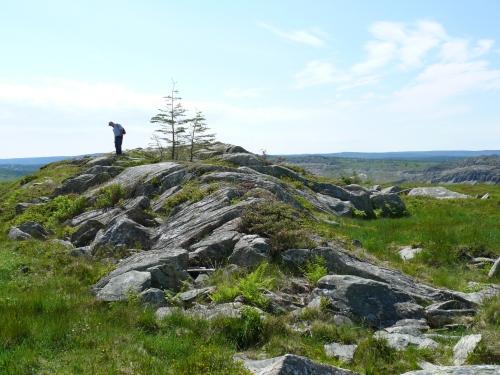
View of visitor standing atop Bulger, A Name Rock, searching for engraved names. Photo taken June, 2008
Photo: Deborah O'Rielly/ HFNL 2008
- Recognized
- 2007
- By
- NL Municipality
The register’s text, word for word
Description
Bulger, A Name Rock Municipal Heritage Site is the site of a massive rocky outcrop of glacial remnants located on a high point of land above the Town of Cupids and located on the pasture grounds south of the Bog Hole. The site is accessible via a pasture roadway, a berry picking trail, and through various paths through forested areas. The designation is confined to the footprint of the rock.
Heritage value
Bulger, A Name Rock Municipal Heritage Site has been designated for its aesthetic and historic values.
Bulger, A Name Rock has historical value as a physical record of the area’s history, serving as both an historic record and an artifact on the landscape. Names inscribed on the rock can be traced to residents of Cupids, living and deceased, and some are curiosities, bearing names and initials not easily attributed to members of the Cupids community. Many of the inscriptions are dated to the mid-20th century, and some are earlier, dating to the turn of that century.
Bulger, A Name Rock has aesthetic value as a unique visual reminder of the social pastime and necessity of blueberry picking. The rock sits in the middle of a huge expanse of open land that has been exploited for its abundant blueberries. Traditionally, exploitation of commonly found wild foods has helped fill the outport dietary gap, providing nutrition not gleaned from the fishery or kitchen gardens. Blueberry picking has moved from a necessity to a popular activity throughout the 20th century and into the 21st century. Bulger has names carved in it by people who visited the area to pick blueberries. It stands as a cultural reminder of this social activity and is a record of the efforts of people to leave something of themselves in the area.
Bulger, A Name Rock is also aesthetically valued for its location on the landscape. It is an easily climbed outcrop of a substantial cliff and gets it name from its bulging appearance. Standing on the rock reveals a spectacular view, showing Cupids town and the Atlantic Ocean. Fenced pasture lands on one side keep cows from wandering, and a nearby, rugged, utility road can be followed back to the town.
SourceTown of Cupids, Meeting held April 3, 2007.
Character‑defining elements
All those elements which represent the historical and aesthetic value of Bulger, including:
-original inscriptions on the rock;
-location, orientation and dimensions of the rock; and -unobstructed view of the Town of Cupids and the Atlantic Ocean.
End of the register’s text
Location
Cupids, Newfoundland and Labrador, A0A, Canada
47.54758° N, 53.22392° W
Get directions (opens in a new tab)Being on the register doesn’t make a place open to visitors. Many are private homes or businesses; please view them from the street.

Loading map…
Nearby
All 5 places in Cupids
Similar places
Places whose register descriptions are closest to this one.
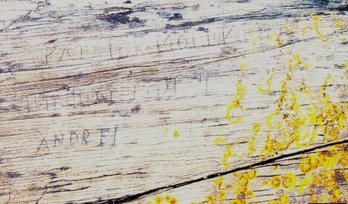 Rock with 19th Century Graffiti Carvings Municipal Heritage SiteFermeuse, Newfoundland And Labrador
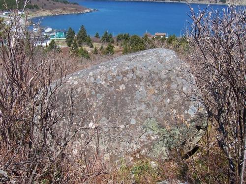 Rock with 17th and 18th Century Graffiti Municipal Heritage SiteFermeuse, Newfoundland And Labrador
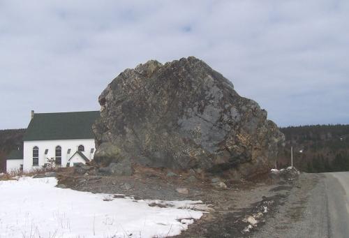 Bell Rock Municipal Heritage SiteFermeuse, Newfoundland And Labrador
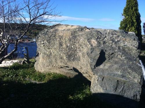 The Liberal Rock Municipal Heritage SiteNew Perlican, Newfoundland And Labrador
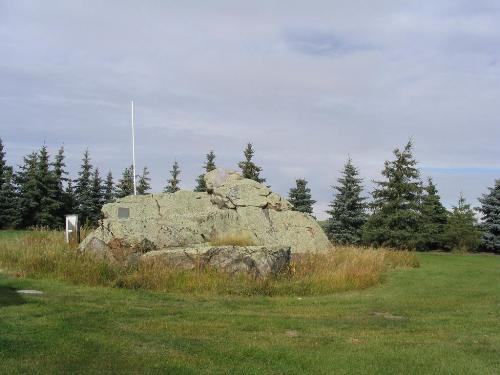 Big Rock Buffalo Rubbing StoneBuffalo RM 409, Saskatchewan
 Deadman’s Cove Municipal Heritage SiteHarbour Breton, Newfoundland And Labrador
From the Canadian Register of Historic Places, as last updated on December 12, 2025. The register’s text is shown word for word.