Municipal Heritage Building, Structure or Land
Rock with 17th and 18th Century Graffiti Municipal Heritage Site
Fermeuse, Newfoundland and Labrador
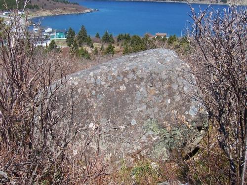
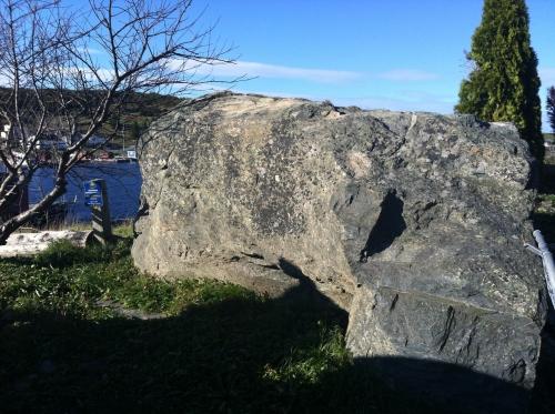
Southern side of Rock with 17th and 18th Century Graffiti showing Kingman's Cove, Fermeuse, NL in the background. Photo taken May 2006.
Photo: HFNL/Andrea O'Brien 2006
- Recognized
- 2006
- By
- NL Municipality
The register’s text, word for word
Description
The Rock with 17th and 18th Century Graffiti (Borden #CfAf-25) is located in Kingman’s Cove, Fermeuse, NL. This large glacial isolate boulder, located along an old footpath leading to nearby Renews, has been inscribed with names, initials and dates, the earliest dating to 1684. The designation is confined to the rock itself and five metres of land extending from the footprint of the rock.
Heritage value
The Rock with 17th and 18th Century Graffiti has been designated a municipal heritage landscape feature by the Town of Fermeuse because of its historic and aesthetic values.
The Rock with 17th and 18th Century Graffiti has historical value as a physical record of the area’s history, serving as both an historic record and an artifact on the landscape. Spaces in Fermeuse Harbour were used by migratory fishing crews as early as the 16th century. It appears on a 1519 Portuguese map as Fermoso. By the late 16th century it was frequented by French, Basque, Portuguese and English West Country fishermen. By the late 17th century, Fermeuse Harbour saw year-round settlement. James Yonge’s map of 1663 shows a planter’s house in Kingman’s Cove, the general location where the Rock with 17th and 18th Century Graffiti is located. By the 18th century, Irish immigration along this coast grew, changing the ethnic composition of what had been known as the English Shore.
The Rock with 17th and 18th Century Graffiti has aesthetic value as a unique visual reminder of the human exploration and settlement of Fermeuse Harbour and environs. The rock is situated away from the shoreline and the main concentration of settlement. From its positioning along an old pathway, there is a commanding view of Kingman’s Cove and the northern side of Fermeuse Harbour. The inscriptions consist mostly of initials and dates, “Marshal Hill” being the only proper name visible. Most of the inscriptions are on the southern and eastern sides of the boulder, facing the old pathway. Many of these have become quite weathered but are nonetheless remarkable for their script style, imagery and range of dates.
SourceTown of Fermeuse Regular Council Meeting March 8, 2006.
Character‑defining elements
All those elements which represent the historical and aesthetic value of the Rock with 17th and 18th Century Graffiti, including:
-original inscriptions on the rock, and;
-location, orientation and dimensions of the rock.
End of the register’s text
Location
Fermeuse, Newfoundland and Labrador, A0A, Canada
46.96228° N, 52.93633° W
Get directions (opens in a new tab)Being on the register doesn’t make a place open to visitors. Many are private homes or businesses; please view them from the street.

Loading map…
Nearby
All 4 places in Fermeuse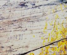 Rock with 19th Century Graffiti Carvings Municipal Heritage Site1.9 km
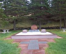 Mother M. Bernard Kirwan Memorial Municipal Heritage Site2.2 km · Port Kirwan
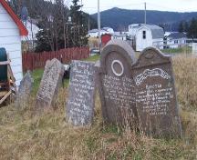 Old Cemetery Municipal Heritage Site2.2 km · Port Kirwan
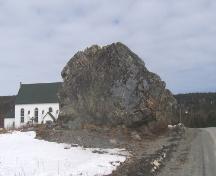 Bell Rock Municipal Heritage Site2.4 km
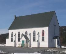 St. Charles Borromeo Church and Grounds Municipal Heritage Site2.4 km · 1923
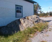 Devil's Rock3.3 km · Renews-Cappahayden
Similar places
Places whose register descriptions are closest to this one.
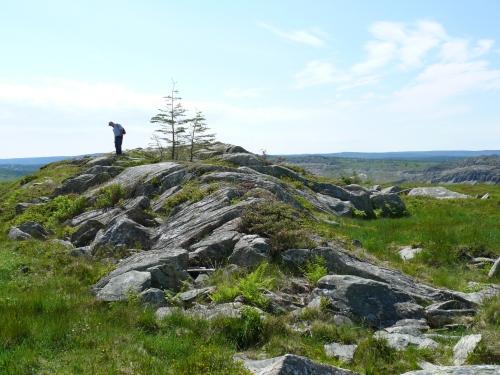 Bulger, A Name Rock Municipal Heritage SiteCupids, Newfoundland And Labrador
 The Liberal Rock Municipal Heritage SiteNew Perlican, Newfoundland And Labrador
 Peter's Finger Municipal Heritage SiteNew Perlican, Newfoundland And Labrador
 Newman’s Flagpole Rock Municipal Heritage SiteHarbour Breton, Newfoundland And Labrador
 St. Bartholomew’s Memorial Stone Municipal Heritage SiteHarbour Breton, Newfoundland And Labrador
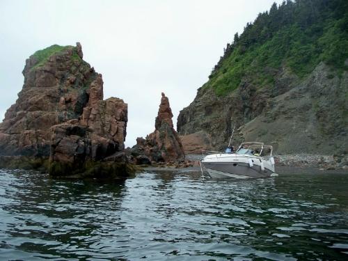 Friar’s Cove Municipal Heritage SiteHarbour Breton, Newfoundland And Labrador
From the Canadian Register of Historic Places, as last updated on December 12, 2025. The register’s text is shown word for word.