National Historic Site of Canada
Wolastoq National Historic Site of Canada
Saint John River, New Brunswick
Also known as Wolastoq, Saint John River, Fleuve Saint-Jean
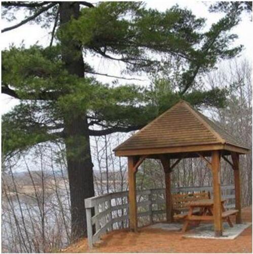
Picnic shelter on north shore of Wolastoq, overlooking Kani Uten
Photo: Parks Canada / Parcs Canada
- Recognized
- 2011
- By
- Government of Canada
The register’s text, word for word
Description
Wolastoq National Historic Site of Canada consists of the cultural landscape along the river extending 700 kilometres in a broad arc from its headwaters in Québec and northern Maine to its mouth at Saint John Harbour, Bay of Fundy. Located principally in the province of New Brunswick, eastern Canada, the watershed represents the traditional territory of the Wolastoqiyik First Nation. The river has three components: the upper leg, from its headwaters in Quebec and Maine, flows into New Brunswick past Edmundston; the middle leg, from the confluence of the Aroostook and Tobique rivers, flows southeast to Mactaquac; from Mactaquac the lower leg, an extensive tidal estuary of lakes, wetlands, and islands, runs 140 kilometres to Saint John Harbour. The entire drainage system has nurtured the Wolastoqiyik, who travelled it, and gained nourishment from plants and animals in and around its waters. Official recognition refers to three geographically definable locations within New Brunswick, circumscribed by selected natural features and watercourses.
Heritage value
Wolastoq was designated a national historic site of Canada in 2011. It is designated because:
- as the river running the length of their territory, it has nurtured the Wolastoqiyik physically, culturally and spiritually over millennia. Tradition tells that the watershed itself was created by a great man who saved the people and brought water to them by felling a tree on the monster Aglebe’m, and the Gluskup stories record the creation of many of the river’s features;
- the watershed contains countless historical sites that bear evidence of past Wolastoqkew settlements and activity sites, as recorded in elders’ stories, in place names and in archaeological sites;
- places along its length speak to the importance of “the Beautiful River” to the Wolastoqiyik over time and space, including their 17th-century habitation at Menahkwesh near the mouth of the river; their Grand Council Chamber and annual gathering spot on Kani Uten, an island at the head of tide; and on land located at the divide between the middle and upper parts of the river valley that became part of a Wolastoqkew reserve in 1801, at the upper part of the river, on River Road, Tobique First Nation.
The heritage value of Wolastoq is reflected in the cultural landscape along the river. It also resides in the river’s important role in the life, culture, and spirituality of the Wolastoqiyik First Nation. The Wolastoq River, its lakes and tributaries connect with the Wolastoqiyik people through their oral histories that give meaning to the history of the landscape as the Wolastoqiyik know it. Wolastoq means “the Beautiful River” in the Maliseet language, while Wolastoqiyik means “the People of the Beautiful River”. While this territory includes many sites of settlement, communication, resource utilization, and spirituality, it is specifically the Wolastoq itself, its lakes and tributaries that connects these sites and unites the Wolastoqiyik as a nation. The watershed represents the traditional territory of the Wolastoqiyik and includes many sites of settlement, communication, resource utilization and spirituality. The many Indigenous place names throughout the watershed link past and present, complementing elders’ stories of traditional uses and evidence from archaeology.
SourceHistoric Sites and Monuments Board of Canada, Minutes, April 2010; SDC Minutes, July 2018.
Character‑defining elements
The key elements that contribute to the heritage character of this site include: - the Wolastoq (Saint John River) River in its location, form and constituent geographical elements running from its headwaters in Québec and northern Maine to Saint John Harbour and the Bay of Fundy; its rapids, streams, lakes and tributaries, beaches, creeks, wetlands, tidal estuary and the evidence of human impact from pre-contact to modern times; - the three locations along the river chosen to speak to the importance of "the Beautiful River" to the Wolastoqiyik - including their 17th century habitation at Menahkwesh near the mouth of the river; their traditional gathering place on the island Kani Uten; and the area near the confluence of the Tobique and Wolastoq rivers; - the integrity and materials of the surviving archaeological remains, features and artifacts in their original placement and extent, including in situ vestiges, both identified and as yet unidentified, that relate to First Nations, and particularly to Wolastoqiyik use, including camps, settlements, gathering places, fisheries, connecting trails and trail heads, burial places, ritual and sacred places; - the health and wholeness of the riparian ecosystem (its water quality, quantity, rates of flow, sandbars and siltation, fish quality, and the health of species); - the retention of traditional Wolastoqiyik knowledge relating to the river including place names; - the undisturbed visual and landscape character of the river, including the unimpeded viewscapes from various vantage points to and from the river.
End of the register’s text
Location
Saint John River, New Brunswick, Canada
45.27264° N, 66.07243° W
Get directions (opens in a new tab)Being on the register doesn’t make a place open to visitors. Many are private homes or businesses; please view them from the street.

Loading map…
Nearby
 Fort LaTourwithin 100 m · Saint John
 Fort La Tour National Historic Site of Canadawithin 100 m · Saint John · 1631
 Saint John Harbour Defensive Network300 m · Saint John · 1631
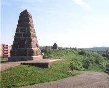 Fort Howe National Historic Site of Canada450 m · Saint John · 1777
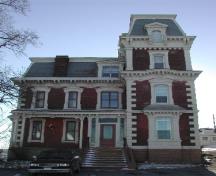 Count DeBury Residence500 m · Saint John · 1875
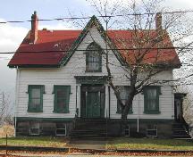 Arthur McDonald Residence550 m · Saint John
Similar places
Places whose register descriptions are closest to this one.
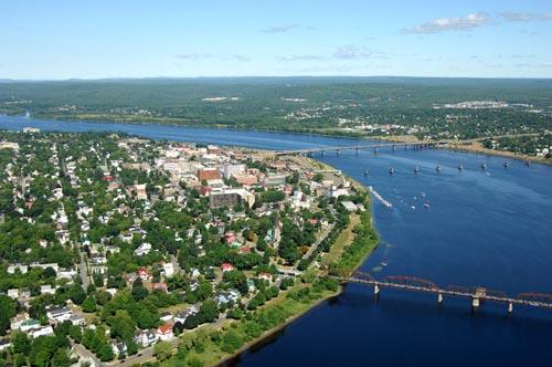 Saint John RiverFredericton, New Brunswick
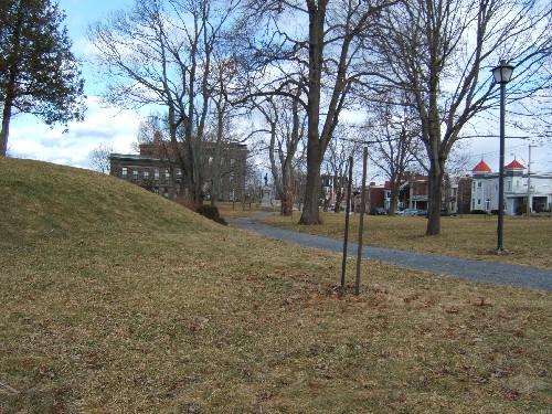 Riverview Memorial ParkSaint John, New Brunswick
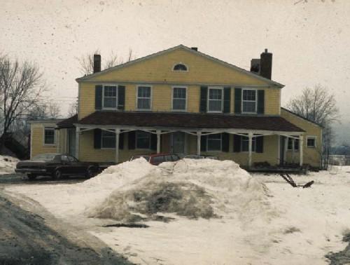 Belmont House / R. Wilmot Home National Historic Site of CanadaLincoln, New Brunswick
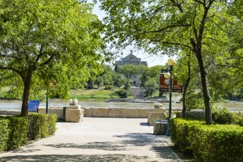 The Forks National Historic Site of CanadaWinnipeg, Manitoba
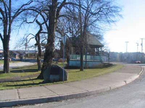 Fort Charnisay National Historic Site of CanadaSaint John, New Brunswick
 Minister's Island National Historic Site of CanadaMinister's Island, New Brunswick
From the Canadian Register of Historic Places, as last updated on December 12, 2025. The register’s text is shown word for word.