Municipal Heritage Property
Tillet Hills
Auvergne RM 76, Saskatchewan
Also known as Archaeological sites DkNu-27 to 30, 36
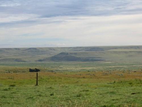
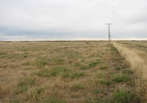
View east across Section 28 and the Notukeu Creek valley toward the location of archaeological sites on the far valley rim, 2004.
Photo: Government of Saskatchewan, Marvin Thomas, 2004.
- Recognized
- 1992
- By
- Local government
The register’s text, word for word
Description
The Tillet Hills are a Municipal Heritage Property consisting of five non-contiguous quarter sections of land along the Notukeu Creek valley about five kilometres northeast of the Town of Ponteix. The property features at least five archaeological sites containing “tipi rings” and rock cairns. Marine vertebrate fossils have also been found on one of the quarter sections.
Heritage value
The heritage value of the Tillet Hills sites lies in their ability to illustrate precontact settlement patterns in a particular locality of the Northern Plains. The concentration of tipi rings and other rock features along a short stretch of valley demonstrates the attractiveness of this type of landform for precontact habitation. The arrangements of the rock features show how individual campsites were organized and how the various camps were distributed across the local landscape. Some of the more elaborately constructed cairns may mark burials that reflect the mortuary practices of Saskatchewan’s First People.
Heritage value also resides in the scientific information the property’s fossils reveal regarding the species and paleo-environments of Saskatchewan’s Upper Cretaceous geologic period of approximately 70 million years ago.
Source:
Rural Municipality of Auvergne No. 76 Bylaws No. 92-6 through 92-9.
Character‑defining elements
The heritage value of the Tillet Hills resides in the following character-defining elements:
-the archaeological sites within their defined boundaries in their natural valley setting;
-those elements related to precontact use of the property, including stone constructions such as stone rings or rock cairns in their original locations, and precontact artifacts, bone, hearths, or other cultural material, especially any objects or features in their original location and context;
-elements related to the life-forms and environments of ancient geological periods, including the stratigraphic sequence of sediments and their contained fossils.
End of the register’s text
Location
Auvergne RM 76, Saskatchewan, S0N, Canada
49.75688° N, 107.44473° W
Get directions (opens in a new tab)Being on the register doesn’t make a place open to visitors. Many are private homes or businesses; please view them from the street.

Loading map…
 Notre Dame d’Auvergne Parish Church3.6 km · Ponteix · 1928
 Notre Dame d’Auvergne Parish Hall3.7 km · Ponteix · 1923
 Former Lyric Theatre3.7 km · Swift Current · 1912
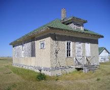 Reliance Community Hall13 km · Glen McPherson RM 46 · 1915
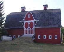 Button Barn19 km · Glen Bain RM 105 · 1917
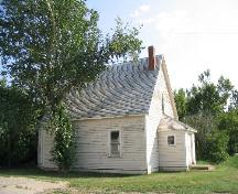 St. James Anglican Church24 km · Hazenmore · 1915
Similar places
Places whose register descriptions are closest to this one.
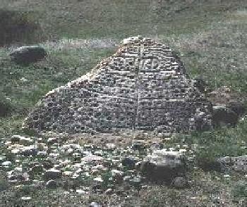 Herschel Petroglyph/Tipi Ring SiteMountain View RM 318, Saskatchewan
 Moore's RavineGrandview RM 349, Saskatchewan
 Fort Qu'Appelle - Touchwood Hills Trail Provincial Historic SiteLipton RM 217, Saskatchewan
 Chimney Coulee SiteArlington RM 79, Saskatchewan
 Touchwood Hills Post Provincial ParkKellross RM 247, Saskatchewan
 Niska SiteAuvergne RM 76, Saskatchewan
From the Canadian Register of Historic Places, as last updated on December 12, 2025. The register’s text is shown word for word.