Municipal Heritage Building, Structure or Land
The Quidnock Municipal Heritage Site
Conche, Newfoundland and Labrador
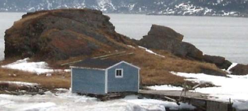
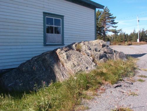
Photo of The Quidnock, looking towards the ocean at Stage Cove, Conche, NL, 2007.
Photo: Courtesy of French Shore Historical Society, 2008
- Recognized
- 2007
- By
- NL Municipality
The register’s text, word for word
Description
The Quidnock is a natural rock formation in the shape of a fish, in an oceanside area known locally as The Dock in the Stage Cove area of the Town of Conche. The municipal heritage designation is confined to the footprint of the The Quidnock rock formation.
Heritage value
The Quidnock has been designated a municipal heritage site by the Town of Conche because of its historic, cultural and aesthetic values.
The Quidnock is a rock formation in the shape of a fish, in an area known as the Dock at Stage Cove, Conche. Fittingly, this area was historically a very busy fishing station. The Dock was a French fishing room from 1745 until 1904, during which time the French enjoyed British-granted fishing treaty rights along the French Shore. Adjoining the French Room at The Dock, families such as the Symmonds, Bromleys and Flynns had large fishing premises from 1816 until 1992, with family-owned fishing stages and stores. During much of this period, the Quidnock was surrounded with fish drying on numerous flakes and the cobbled beaches.
The area also has historic significance because some local residents believe it may have been burial grounds for now extinct Aboriginal people.
The Quidnock has cultural significance as an interesting example of local landmark nomenclature, though its etymology is something of a mystery.
The Quidnock has aesthetic value as a distinctive natural landscape feature and landmark in an historically significant area of Conche.
SourceTown of Conche Council Meeting Minutes of 2007/12/19
Character‑defining elements
-location of the rock;
-and fish-like shape of the rock.
End of the register’s text
Location
Conche, Newfoundland and Labrador, A0K, Canada
50.88355° N, 55.89684° W
Get directions (opens in a new tab)Being on the register doesn’t make a place open to visitors. Many are private homes or businesses; please view them from the street.

Loading map…
Nearby
All 8 places in Conche 1942 Plane Crash Municipal Heritage Site300 m
 William and Cecilia O'Neill Property1.1 km · 1907
 William and Cecilia O'Neill Property Municipal Heritage Site1.1 km · 1907
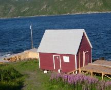 Casey Store and House Municipal Heritage Site1.2 km · 1904
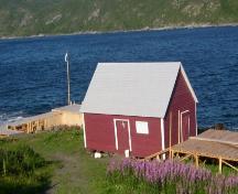 Casey Store1.2 km · 1904
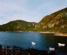 Martinique Bay Provincial Historic Site1.9 km · 1707
Similar places
Places whose register descriptions are closest to this one.
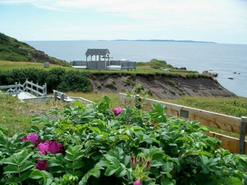 Deadman’s Cove Municipal Heritage SiteHarbour Breton, Newfoundland And Labrador
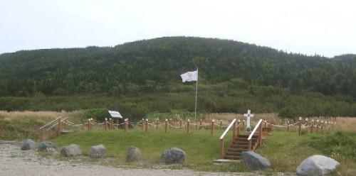 Captain Coubelongue Grave Site Municipal Heritage SiteConche, Newfoundland And Labrador
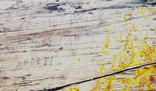 Rock with 19th Century Graffiti Carvings Municipal Heritage SiteFermeuse, Newfoundland And Labrador
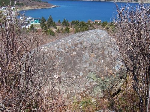 Rock with 17th and 18th Century Graffiti Municipal Heritage SiteFermeuse, Newfoundland And Labrador
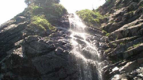 Branch Cove Fossiliferous Rocks Municipal Heritage SiteBranch, Newfoundland And Labrador
 Devil's RockRenews-Cappahayden, Newfoundland And Labrador
From the Canadian Register of Historic Places, as last updated on December 12, 2025. The register’s text is shown word for word.