National Historic Site of Canada
Saint-Ours Canal National Historic Site of Canada
Saint-Ours, Quebec
Also known as Saint-Ours Canal, Canal de Saint-Ours
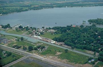
Aerial view of Saint-Ours Canal.
Photo: Parks Canada Agency/Agence Parcs Canada
- Built
- 1830–1833
- Recognized
- 1987
- By
- Government of Canada
The register’s text, word for word
Description
Saint-Ours Canal National Historic Site of Canada is situated on the east bank of the Richelieu River, 52 km from Chambly and 23 km from Sorel Québec. It is located in a 5-hectare park and primarily consists of one enclosed lock between the east bank of the Richelieu River and Darvard Island, as well as a dam.
Heritage value
Saint-Ours Canal was designated a national historic site because:
- it is one of Canada's national canals,
- situated on the Richelieu River, it commemorates, together with the Chambly Canal, the role played by this navigation route in the 19th and 20th centuries as an inland system of canals linking Montréal to New York through the Richelieu River, Lake Champlain and the Hudson River.
The heritage value of Saint-Ours Canal lies in the inter-relationships of the components of its cultural landscape which have survived to this day: the Richelieu River, Darvard Island, the canal route, the dam, the buildings and archaeological remnants of canal activity. The Saint-Ours Canal was constructed by the Board of Works of the United Canadas as a commercial canal in 1844-1849, although the current lock dates from renovations in 1930-1933. Additional alterations occurred in 1960-1969 and 1974.
SourceHistoric Sites and Monuments Board of Canada, Minutes, June 1987.
Character‑defining elements
Key elements contributing to the heritage value of this site include:
- the completeness of the canal's historic cultural landscape (which includes a portion of the Richelieu River, Darvard Island, the canal route, a dam, buildings and archaeological remnants of canal activity) and the historical inter-relationships between these components,
- features of the present canal that provide tangible evidence of its historical use and evolution over time, particularly:
- the present lock situated between Darvard Island and the east bank,
- the canal route which forms a channel between the footprint of the lock, its walls, and its leading coffer dam,
- the regulating dam connecting the west bank of the river to Darvard Island,
- the parallelism existing between the footprints of the original canal and the present canal,
- the fabric and forms of earlier canal and canal-related components that witness its route, technology and composition in earlier times, particularly:
- the footprint of the earlier canal,
- the remains of the first lock from which the historic lower entry to the canal is still visible,
- the relationship between early canal buildings (and their remains) and the canal itself.
End of the register’s text
Location
2930 Patriot Road, Saint-Ours, Quebec, J0L, Canada
45.86474° N, 73.14651° W
Get directions (opens in a new tab)Being on the register doesn’t make a place open to visitors. Many are private homes or businesses; please view them from the street.

Loading map…
Nearby
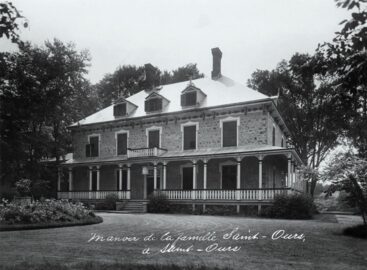 EnhancedDomaine seigneurial de Saint-Ours2.9 km · 1792
- Troisième École de Côte-Plaisance6 km · Saint-Denis-sur-Richelieu · 1954
 Moulin à vent de Contrecoeur6.1 km · Contrecoeur
 Maison Lenoblet-Du Plessis7.5 km · Contrecoeur
 Maison Jean-Baptiste-Mâsse8.9 km · Saint-Denis-sur-Richelieu
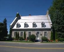 Maison François-Cherrier9.1 km · Saint-Denis-sur-Richelieu · 1808
Similar places
Places whose register descriptions are closest to this one.
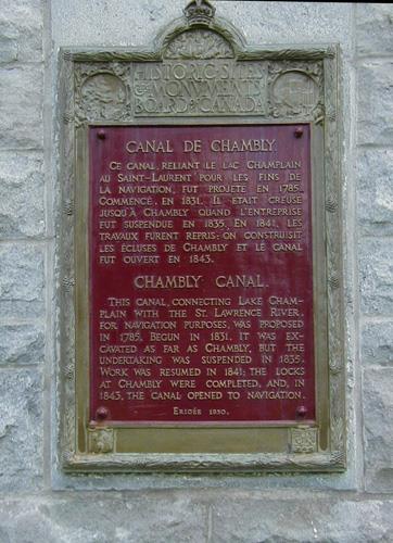 Chambly Canal National Historic Site of CanadaChambly, Quebec
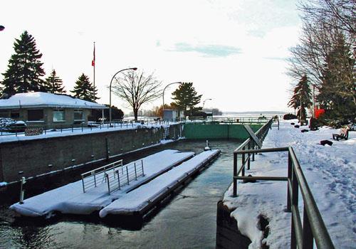 Sainte-Anne-de-Bellevue Canal National Historic Site of CanadaSainte-Anne-de-Bellevue, Quebec
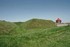 Coteau-du-Lac National Historic Site of CanadaCoteau-du-Lac, Quebec
 Lachine Canal National Historic Site of CanadaMontréal, Quebec
 Carillon Canal National Historic Site of CanadaCarillon, Quebec
 Site historique de l'Entrée-Supérieure-de-l'Ancien-Canal-de-BeauharnoisSalaberry-de-Valleyfield, Quebec
From the Canadian Register of Historic Places, as last updated on December 12, 2025. The register’s text is shown word for word.