Local Register
Sackville Wharf
Sackville, New Brunswick
Also known as Public Wharf, Quai Publique, Dixon's Landing
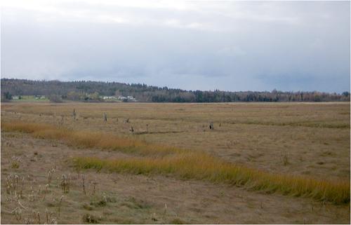
Today, protruding posts mark the buried location of the top of the "New Wharf" from 1911.
Photo: Adele and Rainer Hempel
- Built
- 1840–1841
- Recognized
- 2005
- By
- Local government
The register’s text, word for word
Description
The Sackville Wharf consists of the wooden remains of the Sackville Wharf from 1911, which are land locked and located on the Old Shipyard Road, east side of CN tracks, near Lorne Street in Sackville. The designation also includes the landscape stretching 1600 feet upstream to the site of the Old Wharf. This landscape includes remains of Acadian dykes as well as the burried remains of other wharves and shipyards.
Heritage value
Sackville Wharf is designated a Local Historic Place because it represents a change in the economic climate of Sackville from an agriculturally oriented community to a commercially oriented community.
The Old Wharf, constructed in 1840-41 at Dixon’s Landing, represents the growth of Sackville’s merchant community. The shopkeepers were looking to import products and export staples such as lumber, grindstones and building stones to the world. By the 1870s, the Chignecto Post was reporting that more wharf accommodation was needed. Only small schooners could lay in at the slips and those vessels of 200 tons and upward had only the end berth. Much activity was occurring at the Port of Sackville. A spur line of the Inter Colonial Railway was constructed in the 1870s to the public wharf and leased after 1884 by the N.B. and P.E.I. Railway. This local company had also purchased the private wharf from its owners, Mariners Wood and Ogden.
The construction of the New Wharf, which had been lobbied for over a period of thirty years, was completed in 1911. Much shipping business had been lost because of lack of proper wharf accommodation. Local folklore reports that a ship never tied up at the new wharf, as there was something wrong with the configuration of the structure. By the 1920s, the stretch of the Tantramar River, on which the old and new wharves were located, filled up with silt due to the result of a break through the neck leading to the Ram Pasture Marsh. The new wharf is land locked but an archaeological dig would unveil the complete structure of the 1911 wharf.
The remains of old dykes tie the area to the Acadian period and add to the overall heritage value of the site.
SourceTown of Sackville, LHP File Cabinet, Sackville Wharf File.
Character‑defining elements
The character-defining elements that describe Sackville Wharf include:
- location of the site of the Old Wharf at the end of present day Landing Road, site originally called Dixon’s Landing;
- location of New Wharf, 1600 feet downstream from original wharves, with remains 350 ‘ long, 40 ‘ wide land locked;
- the remains of the shipyards and wharves of Charles Dixon, Mariner Wood, Amos and William Ogden, and Christopher Boultenhouse;
- remains of old dykes.
End of the register’s text
Location
Old Shipyard Road, East side of CN Tracks, Sackville, New Brunswick, E4L, Canada
45.88370° N, 64.36761° W
Get directions (opens in a new tab)Being on the register doesn’t make a place open to visitors. Many are private homes or businesses; please view them from the street.

Loading map…
Similar places
Places whose register descriptions are closest to this one.
 Westfield Wharf SiteGrand Bay-Westfield, New Brunswick
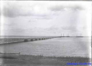 Block WharfTracadie-Sheila, New Brunswick
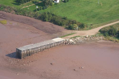 Belliveau Village WharfMemramcook, New Brunswick
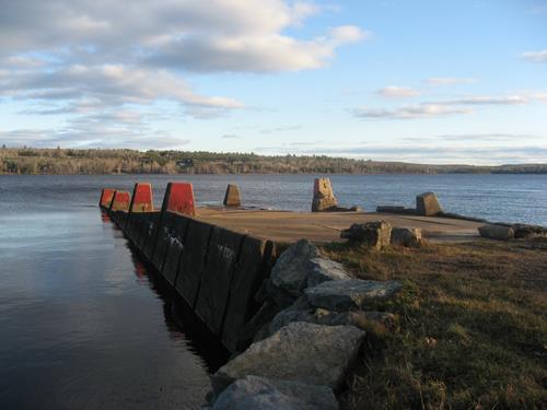 Wharves of Cambridge-NarrowsCambridge-Narrows, New Brunswick
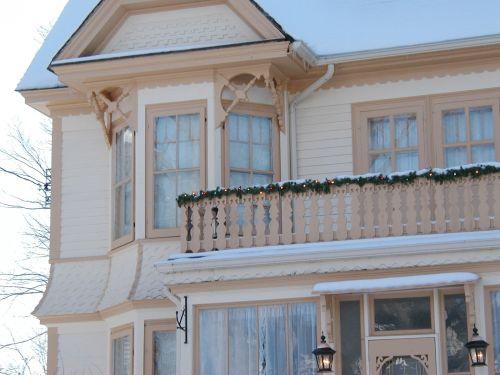 Captain Peter Hanson HouseSackville, New Brunswick
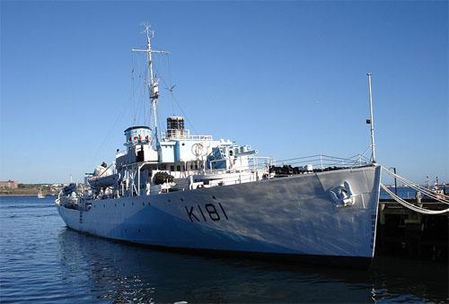 HMCS Sackville National Historic Site of CanadaHalifax, Nova Scotia
From the Canadian Register of Historic Places, as last updated on December 12, 2025. The register’s text is shown word for word.