Municipal Register of Local Historic Places
Old Seal Cove Cemetery
Grand Manan, New Brunswick
Also known as Old Seal Cove Baptist Cemetery, Ancien cimetière baptiste de Seal Cove
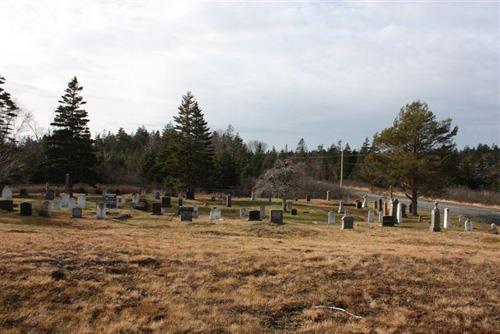
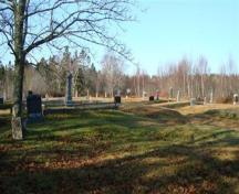
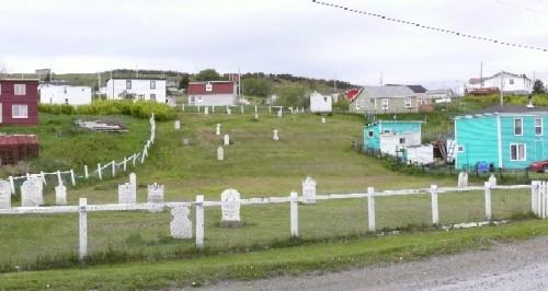
This photo, taken in the fall of 2009, looks down on the cemetery from the original location of the Seal Cove Baptist Church (no longer there)
Photo: Grand Manan Historical Society
- Recognized
- 2010
- By
- Local government
The register’s text, word for word
Description
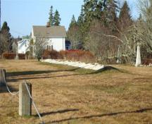
Old Seal Cove Cemetery is a roadside, fenced cemetery located on the east side of Route 776 in Seal Cove, Grand Manan Island. It is situated on sloping grounds bordered on remaining three sides by trees. A majority of the graves are on the south end of the lot with a large vacant area on the north side where the Baptist Church once stood.
Heritage value
The Old Seal Cove Cemetery is designated a Local historic Place for being the final resting place of many citizens of Grand Manan. Among those interred in this cemetery in the fishing community of Seal Cove are those who have lost their lives to the sea, military servicemen and descendants of United Empire Loyalists and their families. Exact dating of the cemetery is difficult as some headstones have sunk into the ground. The oldest standing headstone is that of William Brown, who died in 1824. The last interment took place in 1997. The surnames of those buried here are still common on the Island today. There are three graves placed outside of the fence; surprisingly, they belong to the family of Samuel Harvey who donated the land on which the cemetery is located.
SourceGrand Manan Archives – Local Historic Places files
Character‑defining elements
The character-defining elements that describe the Old Seal Cove Cemetery include:
- variety of headstones - obelisks, round-headed, ornate and rectangular - made of various materials, including marble and granite and one wooden cross;
- family plots separated by low stone walls and placed in a somewhat terraced formation;
- majority of headstones facing south, with some facing north, rather than the traditional facing to the east;
- three Harvey family graves placed outside the fence.
End of the register’s text
Location
Route 776, Grand Manan, New Brunswick, Canada
44.64555° N, 66.84961° W
Get directions (opens in a new tab)Being on the register doesn’t make a place open to visitors. Many are private homes or businesses; please view them from the street.

Loading map…
Similar places
Places whose register descriptions are closest to this one.
 Old North Head CemeteryGrand Manan, New Brunswick
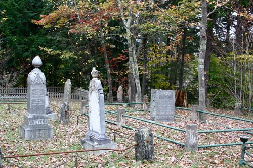 Stevens Family CemeteryBrandy Crescent, New Brunswick
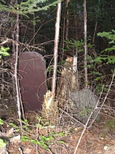 Shoal Harbour Methodist Cemetery Municipal Heritage SiteClarenville, Newfoundland And Labrador
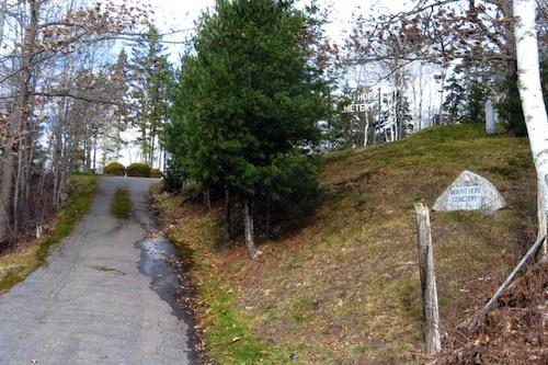 Mount Hope CemeteryGrand Bay-Westfield, New Brunswick
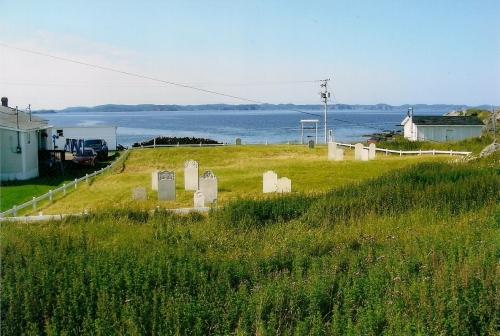 Old House Cove General Cemetery Municipal Heritage SiteTwillingate, Newfoundland And Labrador
 The Old Graveyard Municipal Heritage SiteBranch, Newfoundland And Labrador
From the Canadian Register of Historic Places, as last updated on December 12, 2025. The register’s text is shown word for word.