Municipal Heritage Site
Oak Point Quarry - Notre Dame Heritage Park
Coldwell, Manitoba
Also known as Oak Point Quarry, Carrière Oak Point
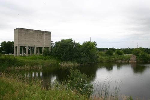
Contextual view, from the northeast, of the Oak Point Quarry, Oak Point area, 2009
Photo: Historic Resources Branch, Manitoba Culture, Heritage and Tourism, 2009
- Recognized
- 2009
- By
- Local government
The register’s text, word for word
Description
Oak Point Quarry, now Notre Dame Heritage Park, located on Highway 6 north of Oak Point, contains the remnants of an early twentieth-century limestone quarry within a setting of natural vegetative growth. The municipal designation applies to the approximately 4.05-hectare (10-acre) parcel of land and to the structural and other surface and subsurface resources on the site.
Heritage value
The large Oak Point Quarry, incorporating an excavation pit, massive concrete storage structure and kiln remnants, evokes an important period in Manitoba's industrial heritage and in the history of the Interlake region. A local abundance of limestone led entrepreneurs at the turn of the twentieth century to establish many Interlake quarries to supply a booming building industry with raw material and manufactured lime, an ingredient in products such as mortar, plaster and cement. The Oak Point Quarry specialized in making slaked lime through a burning process that entailed use of 23-metre-high wood-fired kilns loaded with crushed stone by crane from the top. This complex, served by a Canadian Northern Railway spur, also held a huge concrete storage structure, the remains of which are now visually dominant, and various ancillary facilities and equipment. Established in 1912 by The David Bowman Coal and Supply Co. of Winnipeg, the quarry provided needed local employment for a decade before contraction of the building industry led to its closure.
SourceRural Municipality of Coldwell By-law No. 11-2008, January 13, 2009
Character‑defining elements
Key elements that define the heritage character of the Oak Point Quarry site include:
- its location at northeast Highway 6 and Road 104, just north of Oak Point
- the exposed quarry remains, including the excavation pit on the west side of the site and its relationship to the visually prominent storage facility and the kiln and other manufacturing plant remnants to the south
Key physical elements that define the site's industrial character include:
- the extant built remains, such as the furnace and foundation remnants of concrete and metal that represent the manufacturing function, the impressive concrete storage facility with bins and heavy metal hoppers set high on structural supports, etc.
- the quarry remains comprised of the large water-filled pit lined with limestone and shale, etc.
- surface and subsurface materials scattered throughout the site relating to slaked lime production, such as stone shards, etc.
End of the register’s text
Location
Coldwell, Manitoba, R0C, Canada
50.50683° N, 98.17406° W
Get directions (opens in a new tab)Being on the register doesn’t make a place open to visitors. Many are private homes or businesses; please view them from the street.

Loading map…
Nearby
All 3 places in ColdwellSimilar places
Places whose register descriptions are closest to this one.
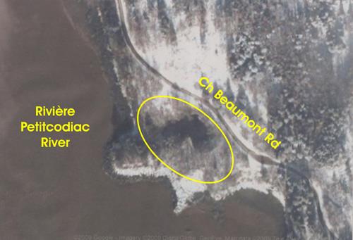 Beaumont QuarryMemramcook, New Brunswick
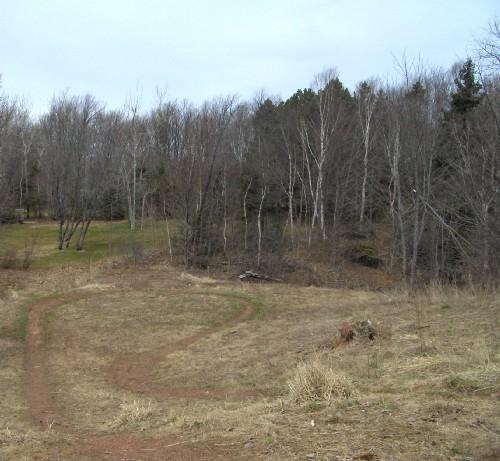 180 Mount Edward Road / Wooldridge QuarryCharlottetown, Prince Edward Island
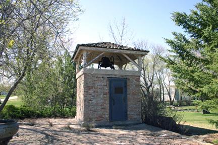 Bank of Toronto VaultTurtle Mountain, Manitoba
 Poplar Point and District Memorial RinkPortage la Prairie, Manitoba
 Old Power HouseGrand Manan, New Brunswick
 T.A. Burrows Mill SiteGrandview, Manitoba
From the Canadian Register of Historic Places, as last updated on December 12, 2025. The register’s text is shown word for word.