Registered Historic Place
McArthur Family Cemetery
Churchill, Prince Edward Island
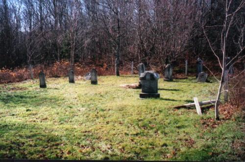
Showing context of cemetery near wooded area
Photo: PEI Genealogical Society, 2006
- Built
- 1879
- Recognized
- 2008
- By
- Province of Prince Edward Island
The register’s text, word for word
Description
This small cemetery is located in a secluded area leading from Peter's Road, Route 244, approximately one thousand metres from the Trans Canada Highway. The site is surrounded by trees on the east, south and west. A farm field borders it on the north. All of the gravestones face east.
Heritage value
The cemetery is valued for its historical association with the McArthur family who had settled in the area.
The earliest record of the family arriving in this area of Prince Edward Island dates from October 5, 1841. They farmed the land adjacent to the cemetery until at least 1900. The 1881 Census shows Donald and Christy (MacLean) McArthur residing on the property. Beginning in the early 1880s and continuing into the 20th century, many Islanders left the province to seek opportunity in the Boston or New England States. Several members of the McArthur family were part of this diaspora. A few members remained on the property into the 1920s, but today the family is no longer present in the community.
The first interment in this family plot happened in 1879. Tragically, Donald McArthur and his wife lost all five of their children ranging in age from two years to fifteen years in a diphtheria epidemic - all within the space of ten days. The local newspaper, "The Patriot" reported on September 25: "This is one of the most melancholy cases that we have heard of."
Subsequent owners of the property, including Rogersons' also used the cemetery. The last interment was that of James D. Rogerson in 1962. Other names present include: MacLean, Pollard, Cann, and MacQuarrie. It is estimated that there are 31 interments with most occurring in the 1920s. Of the 13 remaining headstones, several feature interesting motifs such as the open book or Bible or a bouquet of flowers. Some have fallen over.
The site measures fifteen by fourteen metres. A fence once enclosed the cemetery, but it is in a state of disrepair. The site remains a tangible reminder of the early settlement of the area.
Source: Culture and Heritage Division, PEI Department of Communities, Cultural Affairs and Labour, Charlottetown, PE C1A 7N8
File #: 4310-20/P7
Character‑defining elements
The heritage value of the cemetery is shown in the following character-defining elements:
- the location of the cemetery in a secluded area adjacent to a field and woodland
- the variety and styles of the remaining headstones
- the orientation of the stones facing east
End of the register’s text
Location
Peter's Road, Route 244, Churchill, Prince Edward Island, C0A, Canada
46.22692° N, 63.32598° W
Get directions (opens in a new tab)Being on the register doesn’t make a place open to visitors. Many are private homes or businesses; please view them from the street.

Loading map…
Nearby
 Strathgartney Homestead Cemetery2.2 km · Strathgartney · 1871
 West River Petroglyph Site3.1 km · Bonshaw
 Strathgartney Homestead National Historic Site of Canada3.5 km · Bonshaw · 1861
 McEachern Family Plot3.7 km · St. Catherines · 1837
 Bonshaw Hall3.9 km · Bonshaw · 1864
 Bonshaw Pioneer Cemetery4.1 km · Bonshaw · 1865
Similar places
Places whose register descriptions are closest to this one.
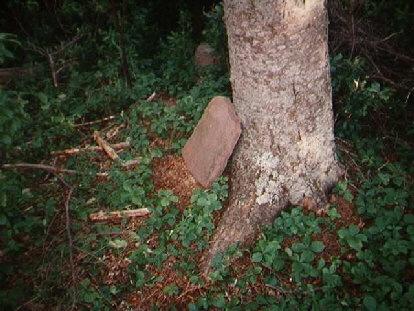
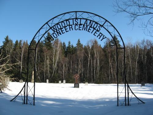 Wood Islands Pioneer CemeteryWood Islands West, Prince Edward Island
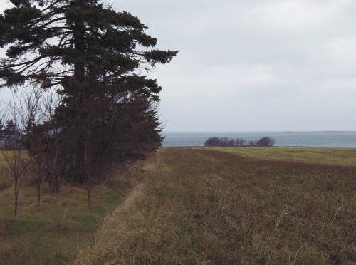
 Panmure Island Pioneer CemeteryPanmure Island, Prince Edward Island
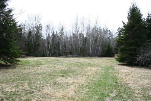
 Portage Shore Pioneer CemeteryBrackley Point, Prince Edward Island
 MacKay Pioneer CemeteryMurray Harbour, Prince Edward Island
- North Carleton Pioneer CemeteryNorth Carleton, Prince Edward Island
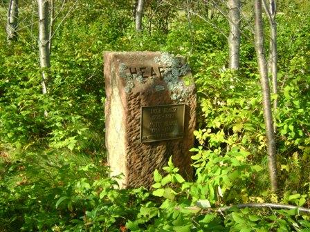 Heartz Field CemeteryMilton Station, Prince Edward Island
From the Canadian Register of Historic Places, as last updated on December 12, 2025. The register’s text is shown word for word.