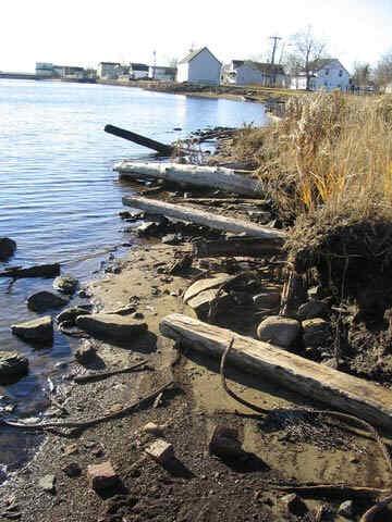
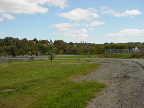
Lanigan and Bowser Mill Site, 2004
Photo: Village of Rexton
- Built
- 1879
- Recognized
- 2004
- By
- Local government
The register’s text, word for word
Description
The Lanigan and Bowser Mill Site property consists of one and one-half hectares on the north side of the Richibucto River below the Rexton Bridge. The site also contains structural remnants and artifacts of the mill's operations.
Heritage value
The Lanigan and Bowser Mill Site is designated as a Local Historic Place because of its association with a time in the history of Rexton when the mill was a major employer and hub of activity in the community.
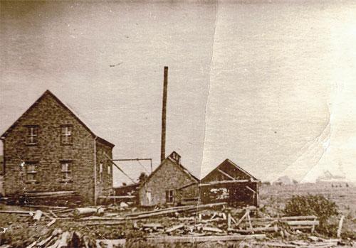
Built in 1879, the first mill was owned by four local residents, John Dickenson, Martin Lanigan, David Palmer and Keady Lanigan. In October of that year a great storm and flood washed away the year’s supply of cut lumber. By the end 1880, William Bowser had purchased the shares of Dickenson and Palmer. The mill property, which consisted of all the milling machinery, the land and booming rights, became known as the Bowser-Lanigan Mill. Bowser later transferred his shares to his sons, one being William J. Bowser who later became the Premier of British Columbia.
The mill continued to operate under various owners until 1964 when the business ceased and the era of milling on the rivers edge came to an end in Rexton.
SourceVillage of Rexton Local Historic Places File #2004-13.
Character‑defining elements
The character defining elements of the Lanigan and Bowser Mill Site include:
- its location on a point of land in the centre of the village that protrudes to the edge of the river channel and forms a natural, sheltered cove;
- decayed cribbing visible in the bank of the river;
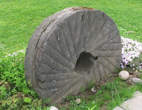
- pieces of chains, bolts, spikes, and machinery parts scattered on the property;
- decayed sawdust up to a metre thick under the shore grass.
End of the register’s text
Location
At the end of North Street, Rexton, New Brunswick, E4W, Canada
46.64768° N, 64.86952° W
Get directions (opens in a new tab)Being on the register doesn’t make a place open to visitors. Many are private homes or businesses; please view them from the street.

Loading map…
Nearby
All 23 places in Rexton
Similar places
Places whose register descriptions are closest to this one.
From the Canadian Register of Historic Places, as last updated on December 12, 2025. The register’s text is shown word for word.