Heritage Designation
Land Registry Office
New Westminster, British Columbia
Also known as Old Land Registry Office, New Westminster Land Registry Office
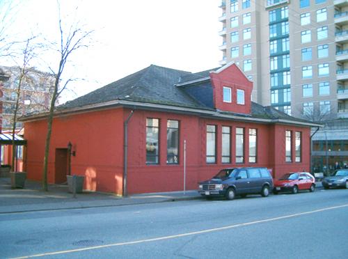
Exterior view of the Old Land Registry Office, 2004
Photo: City of New Westminster, 2004
- Built
- 1910–1911
- Recognized
- 1989
- By
- Local government
The register’s text, word for word
Description
The Land Registry Office is a one-storey plus lower level brick building with a distinctive hipped roof, situated at the crest of a steep hill, adjacent to the New Westminster Court House near New Westminster's historic downtown core.
Heritage value
The Land Registry Office is a significant legacy of New Westminster's role as an administrative centre. The distribution of Crown Land as well as the registration of land transactions was a key function of the colonial government. New Westminster, as the capital of the Mainland Colony, and later as the first capital of the province of British Columbia, was the location of the original Land Registry in 1860. The Land Registry was housed in various offices until the construction of this substantial building during the western boom years, an indication of the volume of land sales at the time. The building remained as the local Land Registry in New Westminster until 1980.
Furthermore, the Land Registry Office is significant for its contribution to the consistent and distinctive built form of downtown New Westminster, which dates from 1898 and 1913, when the city was the major centre of commercial and industrial output for the booming Fraser Valley area.
Built in 1910-11, the building is significant for its association with architect Edwin George William Sait (1867-1949), who had a notable architectural practice in New Westminster in the aftermath of the Great Fire of 1898. Sait drew the original designs in 1909; construction on the project was felt to be too slow, and Frank G. Gardiner (1878-1966) replaced him as supervising architect.
SourceHeritage Planning Files, City of New Westminster
Character‑defining elements
Key elements that define the heritage character of the Land Registry Office include its:
- location on Carnarvon Street, part of a grouping of late Victorian and Edwardian era commercial buildings adjacent to the New Westminster Courthouse
- institutional form, one-storey plus lower level height, side entry, overall symmetry and horizontal proportions
- projecting end bays facing Carnarvon Street
- masonry construction, including rubble-stone granite foundations with raised tuck pointing, rough-dressed granite block course above foundation blocks, brick cladding with flush-struck mortar joints, staircase at east side lower level with granite stair cheeks and rounded sandstone coping blocks, and slate cladding on the sides of the dormer
- bellcast hipped roof with bellcast gabled front dormer
- exterior decorative elements, including quoining at windows; decorative brickwork in the window surrounds; and string course and corbelling
- regular fenestration
- interior features such as plasterwork fluted columns and beamed ceiling
End of the register’s text
Location
648 Carnarvon Street, New Westminster, British Columbia, V3M, Canada
49.20290° N, 122.91050° W
Get directions (opens in a new tab)Being on the register doesn’t make a place open to visitors. Many are private homes or businesses; please view them from the street.

Loading map…
Similar places
Places whose register descriptions are closest to this one.
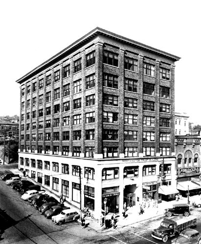 Westminster Trust BuildingNew Westminster, British Columbia
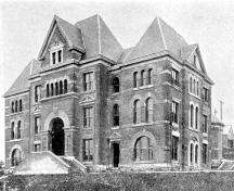 New Westminster CourthouseNew Westminster, British Columbia
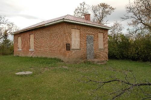 Battleford Land Registry OfficeGovernment Ridge, Saskatchewan
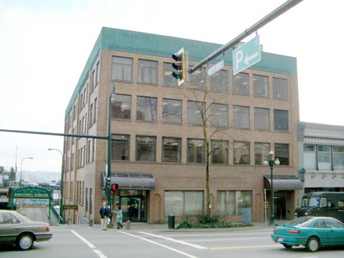 Dominion Trust BlockNew Westminster, British Columbia
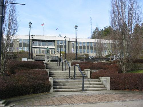 New Westminster City HallNew Westminster, British Columbia
 Land Titles BuildingRegina, Saskatchewan
From the Canadian Register of Historic Places, as last updated on December 12, 2025. The register’s text is shown word for word.