Provincial Historic Resource
Hetherington Erratics Field
Near Fort MacLeod, Alberta
Also known as Chester's Field Erratic
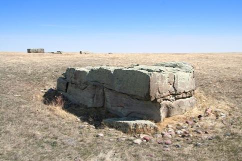
Hetherington Erratics Field, near Fort Macleod (2008)
Photo: Alberta Culture and Community Spirit, Historic Resources Management Branch
- Recognized
- 1978
- By
- Province of Alberta
The register’s text, word for word
Description
The Hetherington Erratics Field is situated roughly 17 kilometres south-west of Fort Macleod. The site comprises roughly 58 hectares of land and features a collection of large and small glacial erratics scattered over the summit and eastern slope of a hillside.
Heritage value
The heritage value of the Hetherington Erratics Field lies in the insights it provides into prehistoric glacial flows and the migrations of the early inhabitants of North America.
The Hetherington Erratics Field is one of several major sites located within the Foothills Erratics Train, a long, narrow chain of erratics (glacially-transported rocks) stretching from Jasper south to Montana. Geologists believe that a rockslide in the mountains of the Jasper area dropped large quartzite boulders onto the surface of the passing Athabasca valley glacier during the last ice age. The glacier initially moved eastward before being deflected to the south by the massive Laurentide Ice Sheet. As the glacier flowed south, it deposited a wealth of boulders along its path, including the mammoth "Big Rock" Erratic at Okotoks. The Hetherington Erratics Field is situated at a point in the Foothills Erratics Train where the belt of glacially transported rocks bottlenecks, narrowing from several kilometres to a single kilometre wide. It appears that a steep hillside prevented the boulders from being distributed further west. The site contains roughly twelve large erratics plus dozens of smaller glacially-transported rocks. The larger erratics feature polished corners and substantial surrounding depressions, evidence of their use as rubbing stones by buffalo and, more recently, by cattle. The site offers vital insights into the direction of the glacial flows of the Cordilleran and Laurentide Ice Sheets. It also provides compelling evidence about the period in which an ice-free corridor appeared on the eastern slopes of the Rockies and in the Foothills. Emerging at the end of the last ice age, roughly 10,000 years ago, this corridor is believed to have been one of the primary passageways used by the earliest inhabitants of North America to penetrate the interior of the continent.
SourceAlberta Culture and Community Spirit, Historic Resources Management Branch (File: Des. 793)
Character‑defining elements
The character-defining elements of the Hetherington Erratics Field include such features as:
- mass, form, and scale of the erratics;
- cracks in the erratics;
- spatial arrangement of the erratics;
- polished surfaces of the erratics and surrounding depressions;
- distinctive circular depressions under larger, exposed erratics;
- stony soil in the vicinity of the erratics;
- information potential for further insights into glacial flows and the migrations of early North Americans.
End of the register’s text
Location
Near Fort MacLeod, Alberta, T0L, Canada
49.56500° N, 113.43916° W
Get directions (opens in a new tab)Being on the register doesn’t make a place open to visitors. Many are private homes or businesses; please view them from the street.

Loading map…
Nearby
 Fort Macleod National Historic Site of Canada18 km · Fort MacLeod · 1874
 Territorial Court House National Historic Site of Canada18 km · Fort MacLeod · 1902
 Fort Macleod Courthouse (Town Hall)18 km · Fort MacLeod · 1902
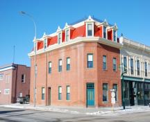 Union Bank Building18 km · Fort MacLeod · 1899
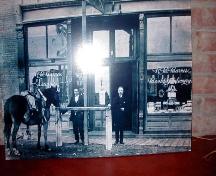 Grier Block18 km · Fort MacLeod · 1900
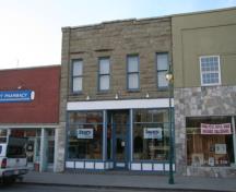 R.T. Barker Building18 km · Fort MacLeod · 1909
Similar places
Places whose register descriptions are closest to this one.
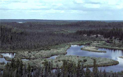

From the Canadian Register of Historic Places, as last updated on December 12, 2025. The register’s text is shown word for word.