National Historic Site of Canada
Grand-Pré Rural Historic District National Historic Site of Canada
Kings, Nova Scotia
Also known as Grand-Pré Rural Historic District, Arrondissement rural historique de Grand-Pré, Lower Horton
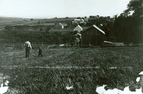
Historical view of Grand-Pré Rural Historic District, showing the gently rolling topography.
Photo: Parks Canada Agency / Agence Parcs Canada.
- Built
- 1680–1755
- Recognized
- 1995
- By
- Government of Canada
The register’s text, word for word
Description
This cultural landscape includes the villages of Grand Pré and Hortonville, the farmlands which surround them, vast stretches of tidal marshes, much of which have been dyked to create arable land, and orchards extending on the uplands. A distinct rural landscape has been created from the land-use traditions of the Acadians and the New England Planters. Official recognition refers to the natural and built features, and evidence of land use patterns and characteristics originating with the Acadians within the district boundaries.
Heritage value
Grand-Pré Rural Historic District was designated a national historic site of Canada in 1995 because:
- the area contains one of the oldest land occupation and use patterns of European origin in Canada, created by two cultural groups of significance and embodying distinctive characteristics of successive periods and methods of land occupation, which illustrate the dynamics of human interaction with the landscape;
- through the continued use of dykelands and the survival of a land use pattern influenced by the associated agricultural practice, the area represents an outstanding example of a landscape of technological and social importance, created by the Acadians and modified by subsequent cultural groups;
- these cultural landscape qualities exist within a definable area which exhibits a high level of integrity and a minimum of urban encroachments or incompatible land uses.
The heritage value of this cultural landscape resides in the blending of natural and built features, in the retention and development of land use patterns originating with the Acadians, particularly in the spatial distribution of arable land, orchards, dykelands, and residential hamlets.
SourceHistoric Sites and Monuments Board of Canada. Minutes, July 1995, June 2004.
Character‑defining elements
Key elements contributing to the heritage value of this site include:
- the interaction of land and sea, particularly as evidenced in the dykes and marshlands bordering the Bay of Fundy;
- the preponderance of agricultural land use;
- the organisation of the landscape into three primary zones including dyked marshlands, uplands, and open fields;
- the circulation patterns evident in pathways, roadways and the railway line which follow topographical features that create the informal boundaries of the three zones;
- the gently rolling topography of the dyked marshlands, devoid of built structures except for occasional storage sheds;
- the system of drainage and dykes bordering the tidal flats.
- the mix of residential and agricultural uses such as orchards, vineyards, and pastures on the uplands to the south of the marshlands;
- the pattern of linear settlement along the uplands, particularly the residential agglomerations at Grand Pré and Hortonville;
- the irregular spatial qualities of Grand Pré village with its large lots integrating agricultural and residential use;
- the landmark quality of the Covenanters' Church National Historic Site of Canada as visual gateway to the village;
- the symbolic location on the village of Grand Pré’s marsh fringe and memorial quality of the Grand-Pré National Historic Site of Canada;
- the regular, linear placement of houses in the surviving built portions of the original town plot of Hortonville;
- the panoramas to the Minas Basin and Cape Blomindon.
- the open, unobstructed nature of the fields and pastures ranging from the height of land along Highway 101 and the Gaspereau River.
End of the register’s text
Location
Kings, Subdistrict D, Nova Scotia, Canada
45.11046° N, 64.30722° W
Get directions (opens in a new tab)Being on the register doesn’t make a place open to visitors. Many are private homes or businesses; please view them from the street.

Loading map…
Nearby
All 4 places in Kings

Similar places
Places whose register descriptions are closest to this one.
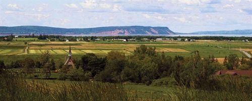 Grand Pré Heritage Conservation DistrictGrand Pré, Nova Scotia
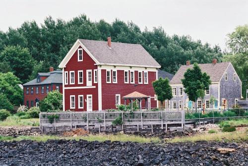 Annapolis Royal Historic District National Historic Site of CanadaAnnapolis Royal, Nova Scotia
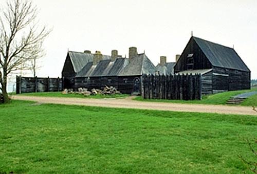 Port-Royal National Historic Site of CanadaPort Royal, Nova Scotia
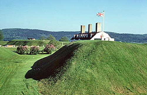 Fort Anne National Historic Site of CanadaAnnapolis Royal, Nova Scotia
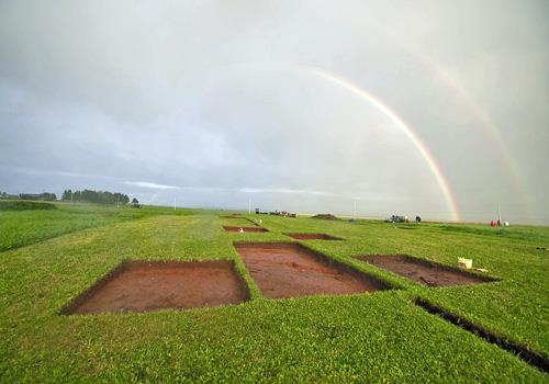 Beaubassin National Historic Site of CanadaFort Lawrence, Nova Scotia
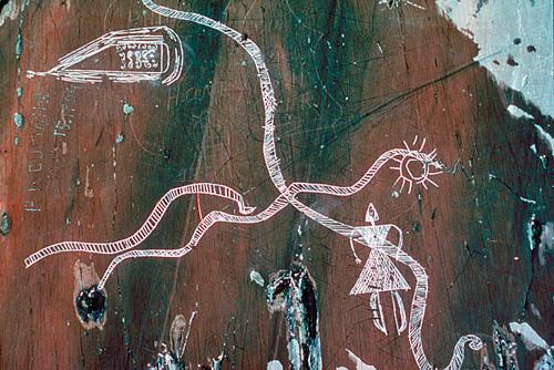 Kejimkujik National Historic Site of CanadaKejimkujik National Park of Canada / Parc national du Canada Kejimkujik, Nova Scotia
From the Canadian Register of Historic Places, as last updated on December 12, 2025. The register’s text is shown word for word.