Répertoire du patrimoine communautaire
Telegraph Trail
Cariboo Regional District, Colombie Britannique
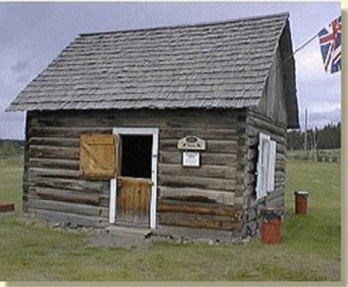
Photo: Cariboo Regional District, 2014
- Reconnaissance
- 2014
- Par
- Administrations locales (C.-B.)
Le texte du répertoire, mot pour mot
Description
The Telegraph Trail is that portion of the Collins Overland Telegraph Trail and its successor the Yukon Telegraph Trail that is located in the Cariboo Regional District. It is approximately 275 kilometers long, extending from 70 Mile House in the south to the border with the Bulkley-Nechako Regional District northwest of Quesnel. Within the Cariboo Regional District the original trail has been largely covered over by Highway 97. This historic place is comprised of the trail, including the parts covered by Highway 97, and the several remaining telegraph offices that are still in evidence.
Valeur patrimoniale
The Telegraph Trail is valued for its historical association with the Collins Overland Telegraph Line and the Yukon Telegraph Line.
The Telegraph Trail is valued for its role in establishing communications between the Lower Mainland of British Columbia and the various communities in the Cariboo region, most specifically those lying along the Cariboo Wagon Road between Cache Creek and Quesnel.
The Telegraph Trail is valued for its role in making possible the extension of telegraph service from the Lower Mainland through Quesnel to Barkerville.
The remaining telegraph offices, a prime example of which exists in its original state at the 108 Heritage Site, are valued for providing examples of the structures and technology of their times.
The Telegraph Trail is valued for the reliance it placed on the use of First Nations trails northwest of Quesnel.
The remaining portions of the Telegraph Trail are valued for their use as recreational trails by hikers and those interested in the history of the province.
The 275 kilometer portion of the Yukon Telegraph Trail that extends the length of the Cariboo Regional District is valued as a physical reminder of the history of both the Collins Overland Telegraph and the Yukon Telegraph lines, and is also valued for the critical role it played in maintaining communications along its entire length, and for opening up and expanding settlement along its route.
SourceCariboo Regional District, Planning Department, Williams Lake
Éléments caractéristiques
Key elements that define the heritage character of the Telegraph Trail include:
- Portions of the original route through the entire length of the Cariboo Regional District
- Use as recreational trails
- Surviving old telegraph offices and the remains of others along the original route
- The telegraph office, complete with communication equipment and restored to its original state, that is located in the 108 Heritage Site
- The frequently-visible landmarks from the trail, which can still serve to unite and connect communities albeit in a different manner than carried out by the original trail
- Artifacts such as wire and insulators found along the Telegraph Trail and in private collections
Fin du texte du répertoire
Emplacement
52.37220° N, 122.13512° W
Itinéraire (s’ouvre dans un nouvel onglet)L’inscription au répertoire ne rend pas un lieu accessible au public. Beaucoup sont des résidences ou des commerces privés; admirez-les depuis la rue.

Chargement de la carte…
Lieux semblables
Les lieux dont la description du répertoire se rapproche le plus de celle-ci.
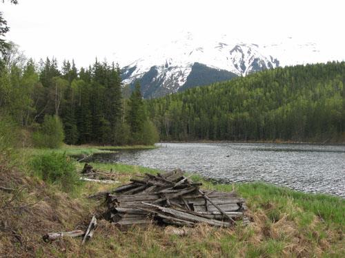 Yukon Telegraph Trailnear Telegraph Creek, Colombie Britannique
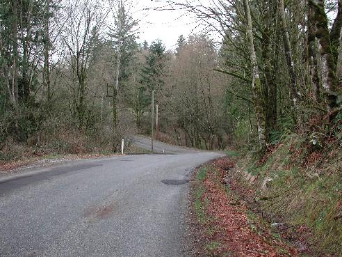 Telegraph TrailLangley District, Colombie Britannique
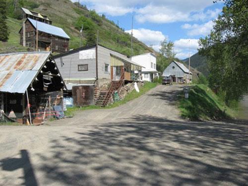 Telegraph CreekTelegraph Creek, Colombie Britannique
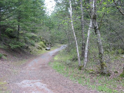 Royal Engineers' Road at Alexandra BridgeSpuzzum, Colombie Britannique
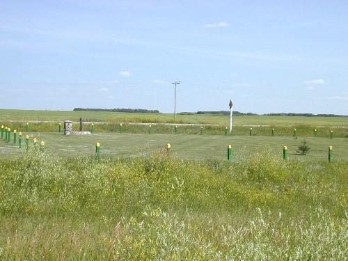 Fort Qu'Appelle - Touchwood Hills Trail Provincial Historic SiteLipton RM 217, Saskatchewan
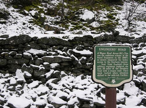 Dewdney Trail (Manning Park Sections)Hope, Colombie Britannique
Tiré du Répertoire canadien des lieux patrimoniaux, dans sa dernière mise à jour du 12 décembre 2025. Le texte du répertoire est reproduit mot pour mot.