Endroit historique inscrit au répertoire
Spurgeon Warren Field Cemetery
Warren Grove, Ile Du Prince Edouard
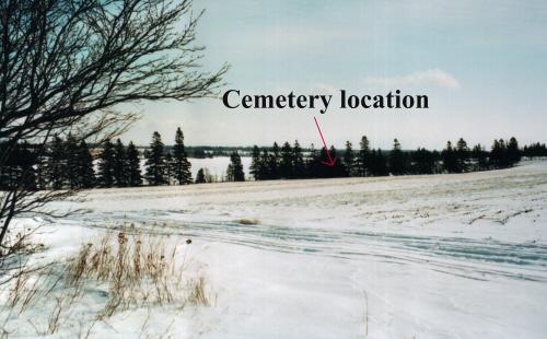
Photo: Bill Glen, PEI Genealogical Society, 2007
- Construction
- 1843–1899
- Reconnaissance
- 2009
- Par
- Province de l'Île-du-Prince-Édouard
Le texte du répertoire, mot pour mot
Description
This cemetery is located in Warren Grove between the North Yorke River Road to the west and the North River to the east. It is now incorporated into agricultural land, but was once situated amid a stand of trees in a wooded area.
Valeur patrimoniale
The cemetery is valued for its historical association with the earliest families who settled the Warren Grove area.
The families associated with this cemetery are Warren, Scott, Vickerson, and Sharpe. The earliest known burial is that of Rev. John Scott (d. 1843). He emigrated from Perthshire Scotland in 1807, settling in the North River area as a farmer. He became a Baptist lay preacher and in 1832 was one of the first three Baptist preachers to be ordained in the province. The others were Benjamin Scott at Alexandra and John Shaw at Three Rivers.
Meacham's 1880 Atlas shows the land on which the cemetery is located as belonging to Peter Warren. In 1899, the property was conveyed to Joseph Spurgeon Warren. The legal document mentioned the cemetery and noted that "no other bodies shall be buried in the enclosure..." There may have been as many as 22 interments on the site during its use.
In the decades that followed, aerial photos from 1935 to 1974 show the wooded area or "enclosure" where the cemetery was located. However, by 2000, this had been cleared and incorporated into an agricultural field.
Source: Culture and Heritage Division, PEI Department of Communities, Cultural Affairs and Labour, Charlottetown, PE C1A 7N8
File #: 4310-20/P19
Éléments caractéristiques
The heritage value of the cemetery is shown in the following character-defining elements:
- the cemetery in its location, extent and the surviving land formations
- evidence of the use of the place as a cemetery with unmarked graves
Fin du texte du répertoire
Emplacement
46.27029° N, 63.20212° W
Itinéraire (s’ouvre dans un nouvel onglet)L’inscription au répertoire ne rend pas un lieu accessible au public. Beaucoup sont des résidences ou des commerces privés; admirez-les depuis la rue.

Chargement de la carte…
À proximité
Lieux semblables
Les lieux dont la description du répertoire se rapproche le plus de celle-ci.
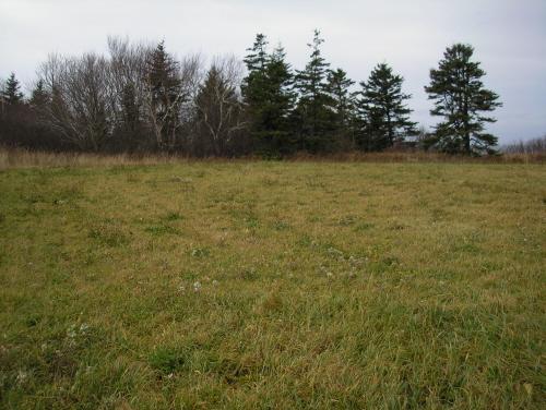
 Portage Shore Pioneer CemeteryBrackley Point, Ile Du Prince Edouard
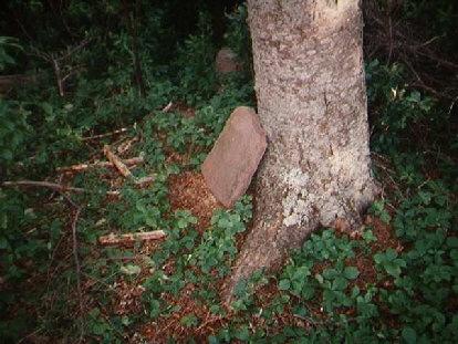
 Pierre Jacques Pioneer CemeteryGlenwood, Ile Du Prince Edouard
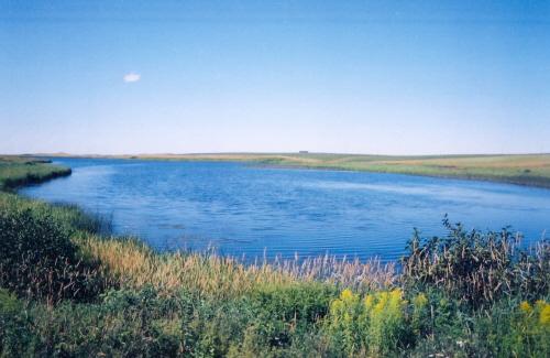
 Panmure Island Pioneer CemeteryPanmure Island, Ile Du Prince Edouard
 Townsend Burial PlotPark Corner, Ile Du Prince Edouard
- Anglican Church Pioneer Cemetery, SouthportStratford, Ile Du Prince Edouard
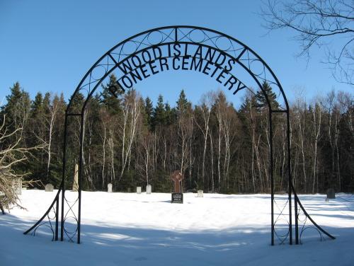 Wood Islands Pioneer CemeteryWood Islands West, Ile Du Prince Edouard
Tiré du Répertoire canadien des lieux patrimoniaux, dans sa dernière mise à jour du 12 décembre 2025. Le texte du répertoire est reproduit mot pour mot.