Endroit historique inscrit au répertoire
Portage Shore Pioneer Cemetery
Brackley Point, Ile Du Prince Edouard
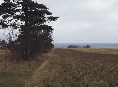
Photo: PEI Genealogical Society, 2006
- Construction
- 1847
- Reconnaissance
- 2008
- Par
- Province de l'Île-du-Prince-Édouard
Le texte du répertoire, mot pour mot
Description
This small cemetery is located within a cluster of trees on a private farm field near the south side of Rustico Bay. It is not visible from the highway. There are a dozen remaining markers, four of which are marble and the others are simple sandstones with carved initials.
Valeur patrimoniale
The cemetery is valued for its connection to the early Scottish pioneers of the area and for its link to the history of the McDonaldite branch of the Church of Scotland in PEI.
Meacham's 1880 Atlas shows a Presbyterian Church located near the site of this cemetery on land then owned by James Matheson. Although no longer standing, this was one of several churches constructed during the forty year ministry of Rev. Donald McDonald (1783-1867), a Church of Scotland minister who came to the Island in 1827. The influence of his own spiritual awakening on his many congregations throughout the Island was immense. His followers became known as the McDonaldites and remain an active faith community on PEI's religious landscape even in the 21st century.
The first recorded burial in this cemetery was that of Malcolm Ross on May 21, 1847. The last was that of Eliza MacRae MacKenzie on July 19, 1885. In the 1950s there were many more sandstone markers evident, but many of these are no longer present. Those which remain have basic initials. Other elaborate marble stones have interesting motifs such as the finger pointing to a book (Bible).
The site remains an important link to the early settlers of the area and is an important cultural resource.
Source: Culture and Heritage Division, PEI Department of Communities, Cultural Affairs and Labour, Charlottetown, PE C1A 7N8
File #: 4310-20/P10
Éléments caractéristiques
The heritage value of the cemetery is shown in the following character-defining elements:
- the location of the cemetery near the shore of Rustico Bay in an isolated section of a farm field within a cluster of trees
- the variety and styles of remaining headstones
- the potential for many unmarked graves on the site
Fin du texte du répertoire
Emplacement
46.40917° N, 63.21722° W
Itinéraire (s’ouvre dans un nouvel onglet)L’inscription au répertoire ne rend pas un lieu accessible au public. Beaucoup sont des résidences ou des commerces privés; admirez-les depuis la rue.

Chargement de la carte…
À proximité
 Lieu historique national du Canada de l'Hôtel-Shaw's2,6 km · Brackley Beach · 1860
 Maison Doucet5,4 km · Rustico · 1768
 Farmers' Bank of Rustico5,4 km · Anglo Rustico · 1861
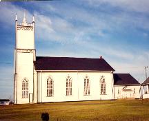 St. Augustine's Roman Catholic Church5,4 km · South Rustico · 1838
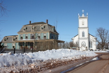 Barachois Inn5,4 km · Anglo Rustico
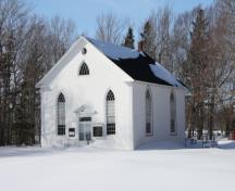 St. James United Church5,5 km · Covehead · 1837
Lieux semblables
Les lieux dont la description du répertoire se rapproche le plus de celle-ci.
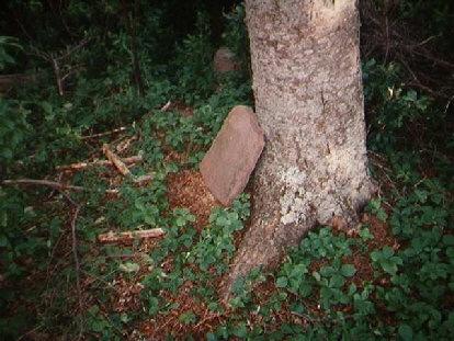 Panmure Island Pioneer CemeteryPanmure Island, Ile Du Prince Edouard
- North Carleton Pioneer CemeteryNorth Carleton, Ile Du Prince Edouard
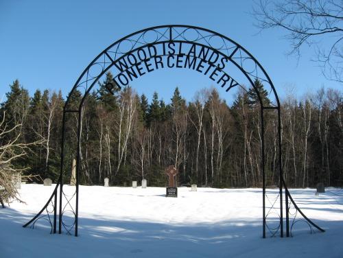 Wood Islands Pioneer CemeteryWood Islands West, Ile Du Prince Edouard
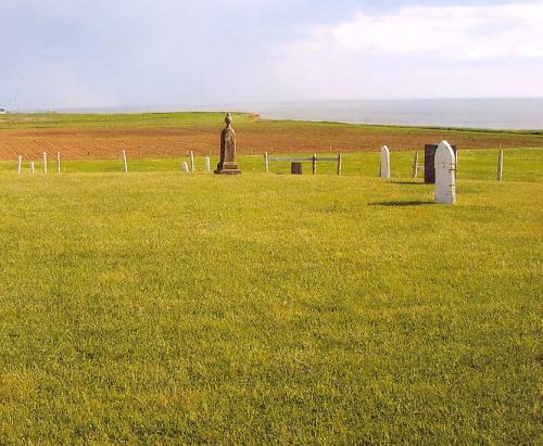 West Cape Presbyterian CemeteryWest Cape, Ile Du Prince Edouard
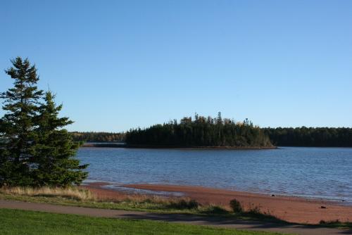 Brudenell Island Pioneer CemeteryGeorgetown Royalty, Ile Du Prince Edouard
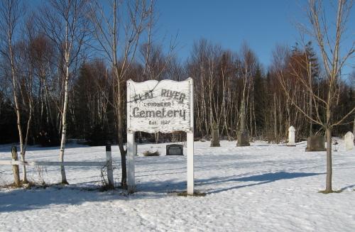 Flat River Pioneer CemeteryFlat River, Ile Du Prince Edouard
Tiré du Répertoire canadien des lieux patrimoniaux, dans sa dernière mise à jour du 12 décembre 2025. Le texte du répertoire est reproduit mot pour mot.