Lieu historique provincial
Quidi Vidi Battery
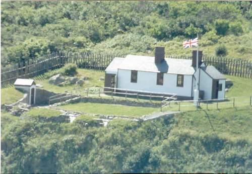
Photo: Government of Newfoundland and Labrador
- Construction
- 1967
- Reconnaissance
- 1974
- Par
- Gouvernement de Terre-Neuve et du Labrador
Le texte du répertoire, mot pour mot
Description
Quidi Vidi Battery is a reconstruction of British coastal battery which was located on the site. In keeping with the 1812 period of reconstruction the site consists of a barracks, gun deck with two cannons and two carronades and a powder magazine; all of which is enclosed by a wooden pallisade. It sits on an archaeological site which was excavated by the province of Newfoundland in 1965 and 1995.
Valeur patrimoniale
Quidi Vidi Battery represents an important period in the history of Newfoundland and Labrador. As one of 12 coastal military installations designed by the British to protect St. John’s from an overland attack, Quidi Vidi Battery was part of a perimeter defensive system and military infrastructure designed by British authorities from approximately 1780. A testament to its importance rests with the fact that it was the longest lived coastal battery. It remained manned by British military personnel until British forces left Newfoundland in 1870.
First opened in 1967, the site is the first Provincial Historic Site developed by the province and opened to the public. As such it represents an early philosophy in cultural heritage presentation whereby reconstructions were seen as an appropriate approach to heritage preservation, representation and presentation of the province’s culture and history.
SourceListed in the Newfoundland Gazette and confirmed as a Provincial Historic Site by the Government of Newfoundland and Labrador on August 13, 1974.
Éléments caractéristiques
All those elements that represent the early British fortification of the area and any remaining original or reconstructed artifacts, including:
-remains of powder magazine;
-archaeological remnants of the site including foundation of barracks;
-reconstructed barrack;
-reconstructed gun deck with sod parapet ;
-reconstructed palisade;
-reconstructed flag pole;
-2 commemorative plaques denoting the contribution of the 56th Field Engineers in the reconstruction of the site; and -the unimpeded view of the land and sea approach to the site, an important feature in determining where the battery was originally placed.
Fin du texte du répertoire
Emplacement
47.58039° N, 52.67481° W
Itinéraire (s’ouvre dans un nouvel onglet)L’inscription au répertoire ne rend pas un lieu accessible au public. Beaucoup sont des résidences ou des commerces privés; admirez-les depuis la rue.

Chargement de la carte…
À proximité
Les 222 lieux de St. John's Mallard Cottage Municipal Heritage Building300 m · St. John's
 Christ Church Registered Heritage Structure400 m · St. John's · 1842
 Tour Cabot1 km · St. John's · 1900
 Bâtiment 8061,3 km · St. John's · 1943
 Lieu historique national du Canada de Signal Hill1,3 km · St. John's · 1697
 Lieu historique national du Canada Christ Church / Église-de-Quidi Vidi1,3 km · St. John's · 1842
Lieux semblables
Les lieux dont la description du répertoire se rapproche le plus de celle-ci.
 45 Park Roadway / Prince Edward BatteryCharlottetown, Ile Du Prince Edouard
 Argentia 282 Coastal Defence Battery Municipal Heritage Site
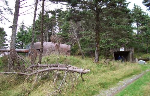 282 Coastal Defence Battery Registered Heritage Structure
 Dawe Property World War Two Site Municipal Heritage Site
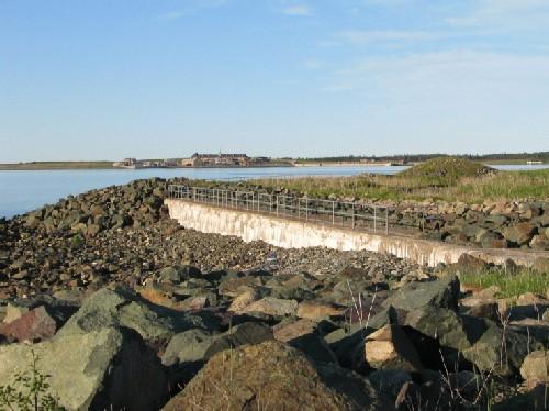 Lieu historique national du Canada de la Batterie-RoyaleLouisbourg, Nouvelle Ecosse
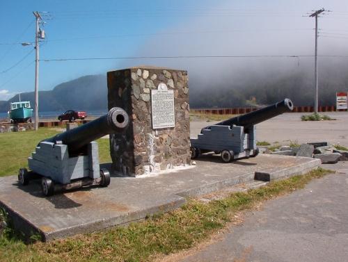 Fort Frederick
Tiré du Répertoire canadien des lieux patrimoniaux, dans sa dernière mise à jour du 12 décembre 2025. Le texte du répertoire est reproduit mot pour mot.