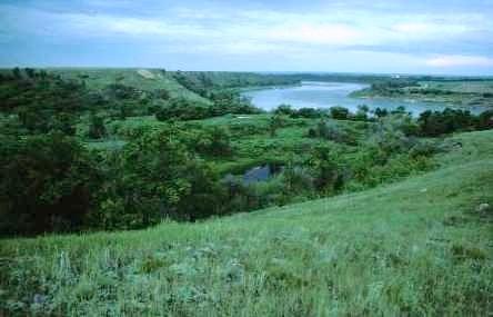
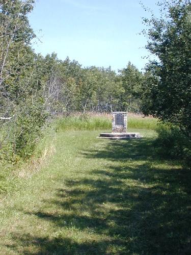
Photo: Government of Saskatchewan, Frank Korvemaker, 1991.
- Reconnaissance
- 1984
- Par
- Gouvernement de la Saskatchewan
Le texte du répertoire, mot pour mot
Description
Opimihaw is a Provincial Heritage Property located in the Opimihaw Creek valley where the creek meets the South Saskatchewan River northeast of Saskatoon. The 58 hectare property contains at least 14 precontact archaeological sites, including a medicine wheel, tipi rings, rock cairns, campsites and bison kills. The designated property is located within the bounds of Wanuskewin Heritage Park.
Valeur patrimoniale
The heritage value of Opimihaw resides in its outstanding collection of archaeological sites and in the information these sites reveal regarding precontact First Nations culture. Periodic flooding has resulted in exceptional preservation of the valley's cultural and organic remains in a sequence of discrete clay layers. The excellent preservation and the property’s broad range of site types provide a rare opportunity for the study of human adaptations on the Northern Plains over the past 5,000 years.
First Nations value Opimihaw as a place of great spiritual significance, and for its associations with the survival and continuity of First Nations culture. The site is also important for its educational value. Located near a major population centre, the site has high potential for interpreting First Nations culture and promoting greater inter-cultural understanding.
Sources:
Province of Saskatchewan, Notice of Intention to Designate as Provincial Heritage Property under The Heritage Property Act, November 23, 1983.
Province of Saskatchewan, Order to Designate as Provincial Heritage Property under The Heritage Property Act, February 20, 1984.
Éléments caractéristiques
The heritage value of Opimihaw resides in the following character-defining elements:
-elements that reflect precontact use of the site, such as the undisturbed cultural stratigraphy and numerous archaeological remains, including artifacts, bone, hearths, stone constructions or other cultural features, especially any cultural material in its original context;
-the sequence of natural soil layers with their contained organic remains that are evidence of the site’s past environments;
-elements that express the site’s spiritual and cultural significance, such as use of the site by First Nations for traditional ceremonies;
-the site's natural environment and historic vistas that evoke a sense of stepping back in time, allowing visitors to readily imagine the experience of ancient visitors to the site.
Fin du texte du répertoire
Emplacement
52.22105° N, 106.59476° W
Itinéraire (s’ouvre dans un nouvel onglet)L’inscription au répertoire ne rend pas un lieu accessible au public. Beaucoup sont des résidences ou des commerces privés; admirez-les depuis la rue.

Chargement de la carte…
À proximité
Les 3 lieux de Corman Park RM 344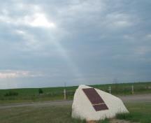 Lieu historique national du Canada Wanuskewin850 m · Saskatoon
 Lieu historique national du Canada Forestry Farm Park and Zoo6,9 km · Saskatoon
 Lieu historique national du Canada de l'Avenue-Commémorative9,3 km · Saskatoon · 1922
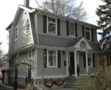 Larkin House9,6 km · Saskatoon · 1928
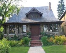 1020 Spadina Crescent East10 km · Saskatoon · 1912
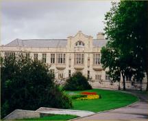 Lieu historique national du Canada du College Building10 km · Saskatoon · 1910
Lieux semblables
Les lieux dont la description du répertoire se rapproche le plus de celle-ci.
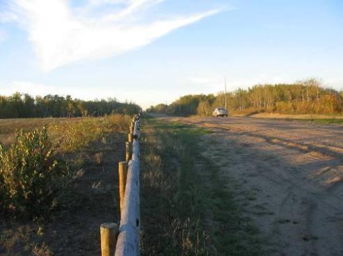 Harder Archaeological Site Protected AreaCorman Park RM 344, Saskatchewan
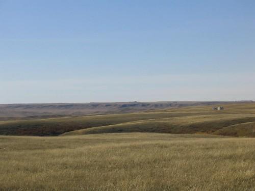 Moore's RavineGrandview RM 349, Saskatchewan
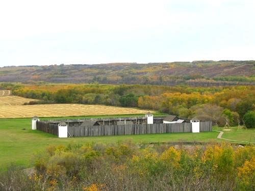 Fort Carlton Provincial ParkDuck Lake RM 463, Saskatchewan
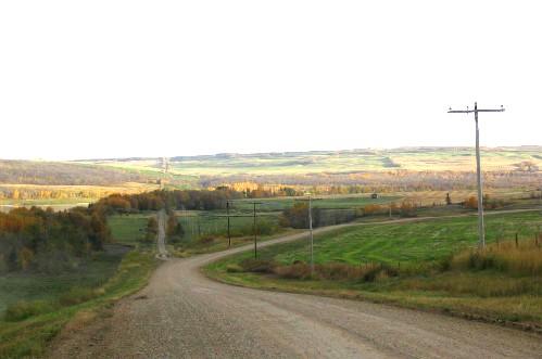 Fort Pitt Provincial ParkFrenchman Butte RM 501, Saskatchewan
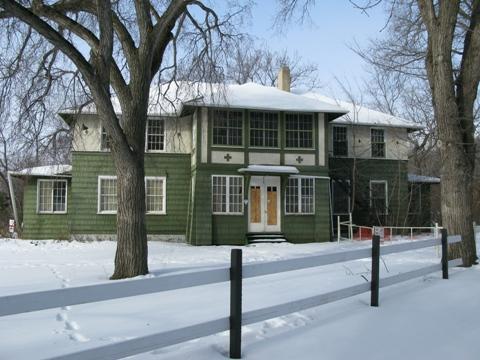 Echo Valley Conference Centre (Fort San)Fort San, Saskatchewan
 Touchwood Hills Post Provincial ParkKellross RM 247, Saskatchewan
Tiré du Répertoire canadien des lieux patrimoniaux, dans sa dernière mise à jour du 12 décembre 2025. Le texte du répertoire est reproduit mot pour mot.