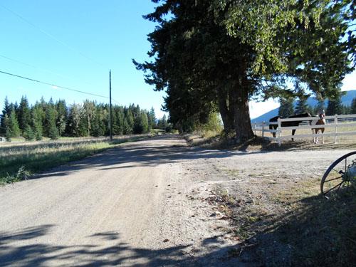
Photo: City of Salmon Arm, 2012
- Construction
- 1915
- Reconnaissance
- 2013
- Par
- Administrations locales (C.-B.)
Le texte du répertoire, mot pour mot
Description
Kuusisto Road consists of the northern-most 1,400 metres (approximately) of the 50 Street NE road right-of-way in the Gleneden area of Salmon Arm, British Columbia. It can be viewed by driving to the end of the paved surface of 50 Street NW at its intersection with 50 Avenue NE, then driving up the gravel road identified by the street sign as 'Kuusisto Road'. The historic place includes the road right-of-way and the various remnants of settlement.
Valeur patrimoniale
Kuusisto Road is valued for its historic, cultural and aesthetic significance within the community, particularly for its association with the Finnish settler after whom it is named, Frans Kuusisto.
Frans Kuusisto, also known to some as Frank Kusisto, was one of the first Finnish settlers to come to the area. He was followed by other pioneering Finns who settled in Gleneden after working on the "Luopala Division" of the Canadian Pacific Railway between Kamloops and Revelstoke. Frans received his letters patent for an 80 acre homestead in 1915 and married Lempi Hissa. Together they established one of the early farms in the area. This connection to early agriculture and Finnish settlement in Gleneden makes Kuusisto Road culturally significant within the context of Salmon Arm's history.
There is still evidence of early land development and agriculture along Kuusisto Road, as seen in the remnants of stone fences that were constructed using stones cleared from the fields. A nearby wagon road, Gleneden Hall and an old root cellar dating from the pioneering days add to the cultural and aesthetic value of the road.
It is important that Kuusisto Road is considered to be one of the last 'country roads' in Salmon Arm. It is used by horseback riders and local residents.
SourceCity Hall, City of Salmon Arm
Éléments caractéristiques
Key elements that define the heritage character of Kuusisto Road include its:
Site:
- Location
- Remnants of early land development and agricultural features, including a stone fence and old root cellar
Fin du texte du répertoire
Emplacement
50.74259° N, 119.34336° W
Itinéraire (s’ouvre dans un nouvel onglet)L’inscription au répertoire ne rend pas un lieu accessible au public. Beaucoup sont des résidences ou des commerces privés; admirez-les depuis la rue.

Chargement de la carte…
À proximité
Les 40 lieux de Salmon Arm
Lieux semblables
Les lieux dont la description du répertoire se rapproche le plus de celle-ci.
- Old Enderby RoadSalmon Arm, Colombie Britannique
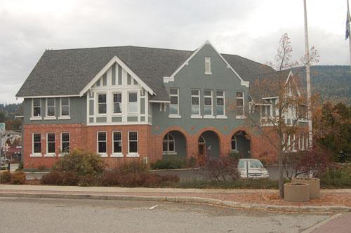 Salmon Arm Court HouseSalmon Arm, Colombie Britannique
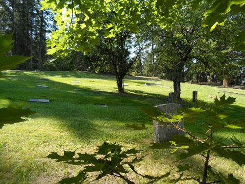 Old Section of the CemeterySalmon Arm, Colombie Britannique
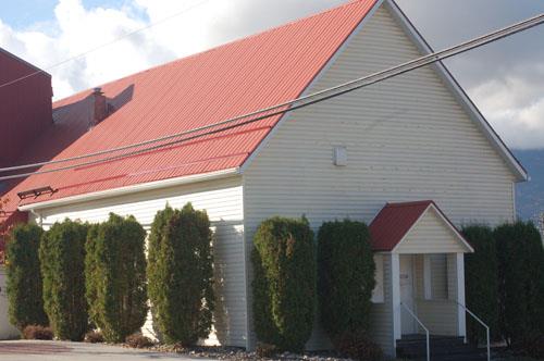 Baptist ChurchSalmon Arm, Colombie Britannique
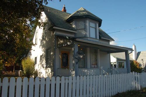 171-1 Street SESalmon Arm, Colombie Britannique
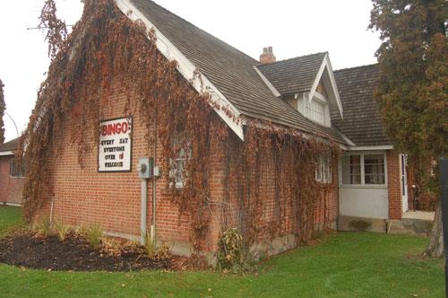 Municipal HallSalmon Arm, Colombie Britannique
Tiré du Répertoire canadien des lieux patrimoniaux, dans sa dernière mise à jour du 12 décembre 2025. Le texte du répertoire est reproduit mot pour mot.