Bien inscrit au répertoire municipal
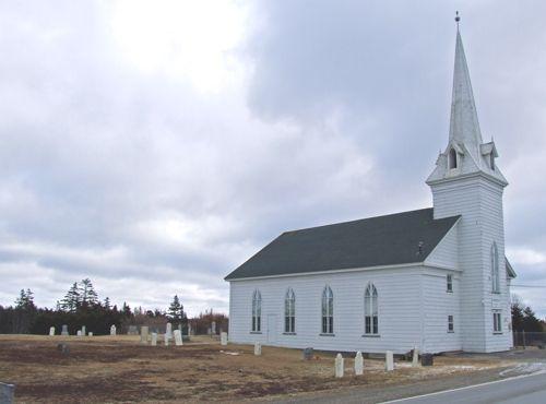
Mitchell Island Union Church
Point Edward, Nouvelle Ecosse
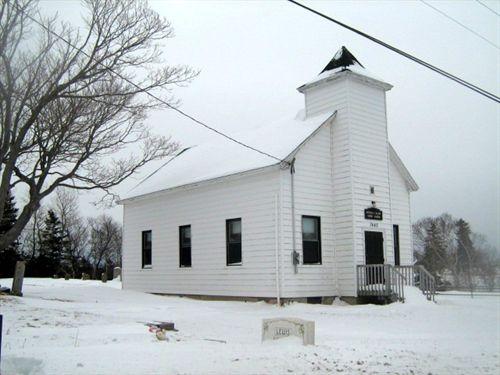
Photo: Heritage Division, NS Dept. of Tourism, Culture and Heritage, 2008
- Reconnaissance
- 2007
- Par
- Administrations locales (N.-É.)
Le texte du répertoire, mot pour mot
Description
The Mitchell Island Union Church is located on the southwest shore of the northwest arm of Sydney Harbour, in Point Edward, Nova Scotia. It is a small white church located by the side of the road, on a small island that is connected to the mainland by a road. The Cape Breton Regional Municipality designated the church, graveyard and land a municipal heritage property.
Valeur patrimoniale
The Mitchell Island Church is valued for its role in the community, for its simple architecture, and for its associations with the history of the area.
The church was constructed circa 1866 to support the religious activities of the several small communities in the area. Although a preacher of any denomination could use the church, it was a "preaching station" for the North Sydney Calvary Baptist Church and services were held every second Sunday afternoon and annual harvest services. The church can seat eighty people. It is a simple wooden structure, consisting of one main room and two small vestibule areas, which currently serve as furnace and coat rooms. Presently the church is used only for weddings and funerals.
The building is located on a small island that is named after a sailor who washed ashore here and who is buried in the graveyard. Currently the island is experiencing an erosion problem which is affecting the future of the site.
SourceCape Breton Regional Municipality, Municipal Heritage Files, Mitchell Island Church
Éléments caractéristiques
Character-defining elements of the Mitchell Island Church include:
- simple form and massing;
- central tower;
- gable roof;
- location on an island;
- wooden main door;
- cemetery with historical markers surrounding church;
- low-lying fence enclosing family plot within cemetery.
Fin du texte du répertoire
Emplacement
46.16469° N, 60.27281° W
Itinéraire (s’ouvre dans un nouvel onglet)L’inscription au répertoire ne rend pas un lieu accessible au public. Beaucoup sont des résidences ou des commerces privés; admirez-les depuis la rue.

Chargement de la carte…
À proximité
Lieux semblables
Les lieux dont la description du répertoire se rapproche le plus de celle-ci.
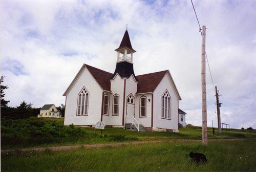 Jubilee United ChurchPort Hood Island, Nouvelle Ecosse
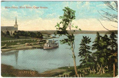
 Centerville ChurchCentreville, Nouvelle Ecosse
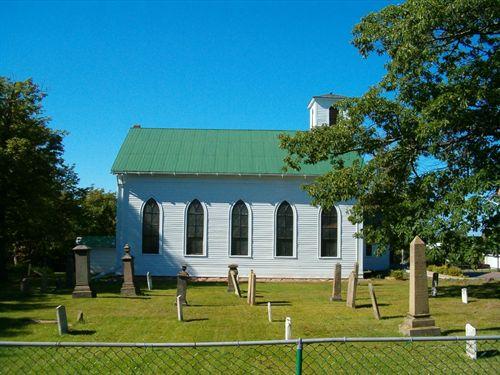
 Union Presbyterian ChurchAlbert Bridge, Nouvelle Ecosse
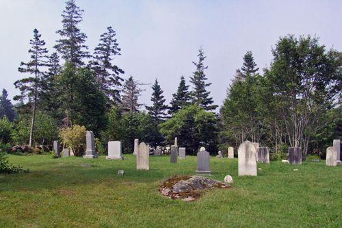
 Saint Matthew's Presbyterian ChurchWallace, Nouvelle Ecosse
 Goat Island Baptist ChurchUpper Clements, Nouvelle Ecosse
 Former Church of ScotlandSummerside, Ile Du Prince Edouard
Tiré du Répertoire canadien des lieux patrimoniaux, dans sa dernière mise à jour du 12 décembre 2025. Le texte du répertoire est reproduit mot pour mot.