Bien inscrit au répertoire municipal
Kempt Shore Presbyterian Church
Kempt Shore, Nouvelle Ecosse
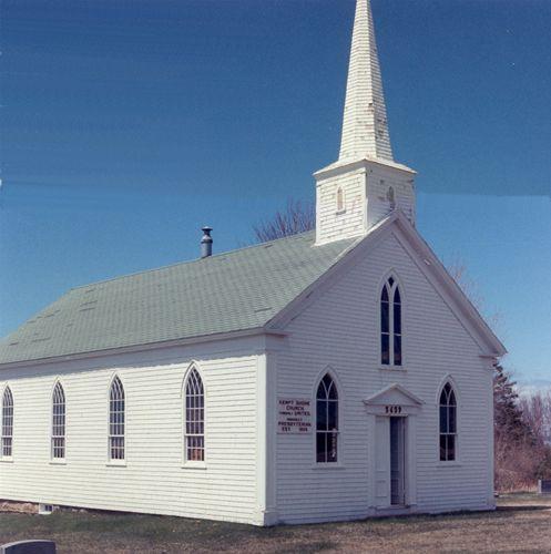
Photo: Municipality of the District of West Hants, 2008.
- Construction
- 1865
- Reconnaissance
- 1995
- Par
- Administrations locales (N.-É.)
Le texte du répertoire, mot pour mot
Description
The Kempt Shore Presbyterian Church is located on the west side of Highway 215, Kempt Shore, Nova Scotia, approximately at the confluence of the Avon River and the Minas Basin. The wood frame structure is located on the original site. The land, cemetery and building are included in the municipal designation.
Valeur patrimoniale
The Kempt Shore Presbyterian Church is valued as a landmark in the community and for the unobstructed view of the Minas Basin. Located at the site of a family, and later a community, cemetery, the land was donated to the Presbyterian Church of Scotland by George and Martha Armstrong in 1858. The church was built in 1865 by the congregation and Armstrong family, who operated a shipyard from 1835 until 1850.
After the formation of the United Church of Canada, the Kempt Shore Church continued to be used for regular services. In 1967, the church was closed for regular services; however it remains in use for weddings and funerals.
The wood frame church sits on a sandstone block foundation with a full basement.It has not had any exterior alterations with the exception of the installation of asphalt shingles. The interior of the church is largely unchanged with original pews and kerosene lamps and a central wood stove. No major alterations have been made with the exception for the installation of asphalt roof shingles.
SourceWindsor-West Hants Joint Planning Advisory Committee Heritage Property files
Éléments caractéristiques
Character defining elements of the Kempt Shore Presbyterian Church include:
- simple wood frame construction;
- steep shingled steeple;
- Gothic Revival windows;
- wood shingle exterior;
- cemetery surrounding the church;
- location overlooking the Minas Basin.
Fin du texte du répertoire
Emplacement
45.12738° N, 64.19422° W
Itinéraire (s’ouvre dans un nouvel onglet)L’inscription au répertoire ne rend pas un lieu accessible au public. Beaucoup sont des résidences ou des commerces privés; admirez-les depuis la rue.

Chargement de la carte…
À proximité

Lieux semblables
Les lieux dont la description du répertoire se rapproche le plus de celle-ci.
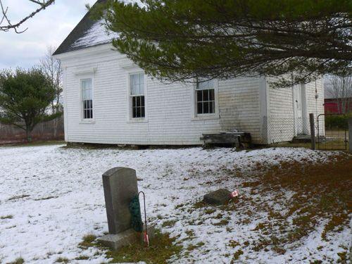 East Kemptville Free Baptist ChurchEast Kemptville, Nouvelle Ecosse
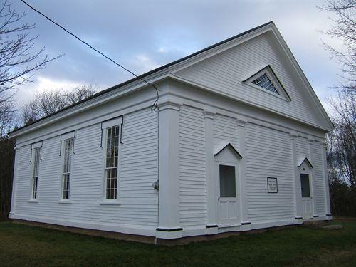 Amherst Point Baptist ChurchAmherst Point, Nouvelle Ecosse
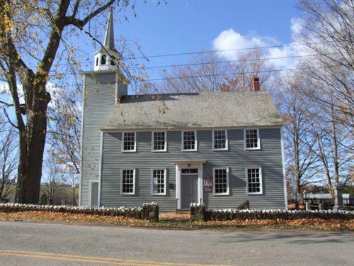 Covenanter ChurchGrand Pré, Nouvelle Ecosse
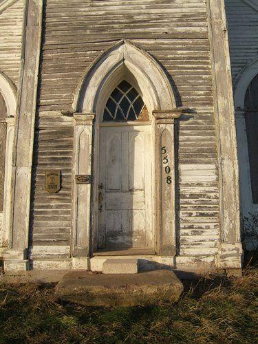 King Seaman ChurchMinudie, Nouvelle Ecosse
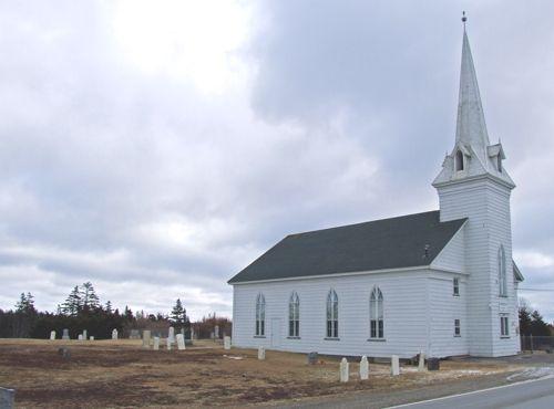 Centerville ChurchCentreville, Nouvelle Ecosse
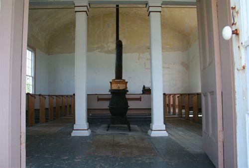 St. James United ChurchSpry Bay, Nouvelle Ecosse
Tiré du Répertoire canadien des lieux patrimoniaux, dans sa dernière mise à jour du 12 décembre 2025. Le texte du répertoire est reproduit mot pour mot.