Happy Valley Neighbourhood
Description
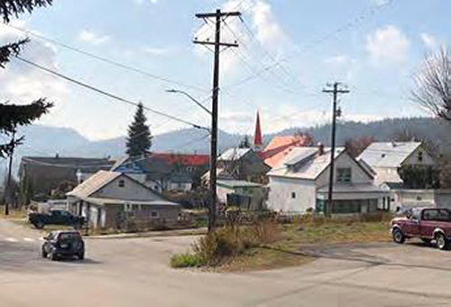
Happy Valley is located at the northeast side of Rossland, BC. To the north it is bounded by Columbia Kootenay Road. The western boundary is partly Columbia Kootenay Road, Georgia Ave. Crescent Ave and Park Street. The south side boundary is the Mountain View Cemetery and the east boundary is the City of Rossland border.
Valeur patrimoniale
Developed as an agricultural area prior to the 1940s, the Happy Valley neighbourhood has historic value as a quiet rural place located over the hill from the downtown core and featuring open agricultural land and southeast exposure.
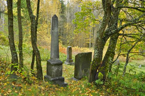
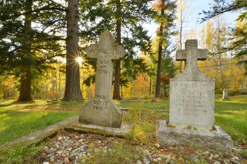
The character of Happy Valley is defined by large parcels of land and agricultural fields delineated by fences, and bounded by copses of trees. The groupings of early farm buildings reveal the neighbourhood's history and role as a place of small mixed farms producing eggs, vegetables and other produce. Happy Valley is valued for its farming and the location of the historical Columbia Cemetery.
The steeper, less arable land is currently being developed with contemporary houses, taking advantage of the views over the valley and the good exposure to southern and eastern sun and light.
Éléments caractéristiques
Character-defining elements may be found in its:
- Large plots of land with mixed farming uses
- Agricultural buildings and farmhouses
- Agricultural fields
- Tree copses, hedgerows and wind rows
- Fencing
- Columbia Cemetery
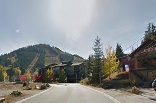
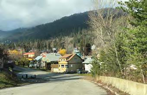
- Views of the surrounding mountains
Location
Loading map...
Lieux similaires
Sites patrimoniaux avec des caractéristiques semblables