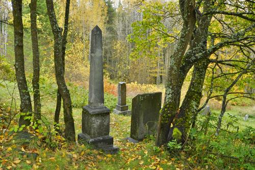
Photo: City of Rossland, 2014
- Construction
- 1899
- Reconnaissance
- 2000
- Par
- Administrations locales (C.-B.)
Le texte du répertoire, mot pour mot
Description
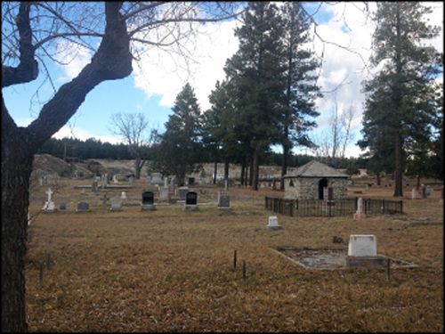
The Columbia Cemetery occupies five acres of land in Happy Valley at the eastern edge of Rossland, British Columbia. Most of the gravesites are in the northern half of the cemetery and its hilly landscape is marked with many cement cribbings and tombstones. The current access is from Highway 3B, through Mountain View Cemetery, to the southern portion of the cemetery.
Valeur patrimoniale
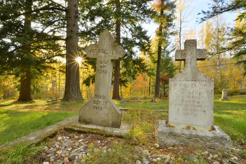
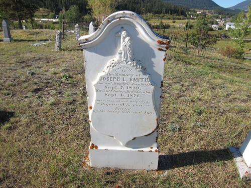
The Columbia Cemetery is valued as the only public cemetery in Rossland, and although closed to further burials since 1985, it has been and will continue to be a place where family and interested people come to visit and stay in touch with the past. The Columbia Cemetery is the final resting place of over 950 Rossland citizens who died between the years of 1896 and 1945. Some of the family names on tombstones are common to people living in Rossland today. The tombstone engravings are tangible reminders of the love, devotion, respect and loss felt by Rosslanders over the years, for their family members and loved ones.
Aspects of Rossland's historical social fabric are reflected in blocks or parts of blocks that are identified with various fraternal organizations by special monuments including Knights of Pythias, Eagles and Oddfellows.
The original design of the cemetery and the layout of the plots within the blocks have been adhered to since the creation of the cemetery in 1899, although the hilly terrain has determined which plots have actually been used for burial sites. The setting of the Columbia Cemetery, surrounded by pasture land and wooded areas, and the maintenance of the cemetery provided by the City, create a peaceful ambience which is enjoyed by walkers, bikers and hikers as well as visitors today.
SourceCity of Rossland, Heritage Commission
Éléments caractéristiques
Key character-defining elements of Columbia Cemetery include:
- rural, pastoral setting
- orderly layout of grave sites
- tombstones
- monuments of fraternal organizations
- cribbing around many grave sites
- remaining wire fencing marking north and east boundaries
Fin du texte du répertoire
Emplacement
49.07939° N, 117.78438° W
Itinéraire (s’ouvre dans un nouvel onglet)L’inscription au répertoire ne rend pas un lieu accessible au public. Beaucoup sont des résidences ou des commerces privés; admirez-les depuis la rue.

Chargement de la carte…
À proximité
Les 50 lieux de Rossland
Lieux semblables
Les lieux dont la description du répertoire se rapproche le plus de celle-ci.
Tiré du Répertoire canadien des lieux patrimoniaux, dans sa dernière mise à jour du 12 décembre 2025. Le texte du répertoire est reproduit mot pour mot.