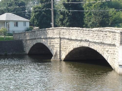
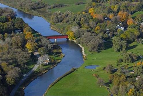
Photo: Robin de Bled, 2005
- Construction
- 1897
- Reconnaissance
- 1990
- Par
- Administrations locales (Ont.)
Le texte du répertoire, mot pour mot
Description
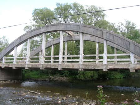
Gow’s Bridge spans the Speed River on the west side of Royal City Park. This stone bridge continues to serve both vehicular and pedestrian traffic.
Gow’s Bridge has been designated by the City of Guelph under By-Law (1990)-13471. The designation covers all elements of the south and middle spans of the bridge and the piers, all of which are of stone construction, as well as the concrete foundations, but does not include the more recent north span.
Valeur patrimoniale
Gow’s Bridge has been designated by the City of Guelph as having historic and architectural value. This stone arch bridge remains as the only surviving example of several stone bridges which once crossed Guelph’s rivers. The bridge was built for the City Council in 1897 by Daniel Keleher, a local contractor. It replaced a wooden bridge constructed at this site in 1852 to circumvent the toll bridges on the Guelph and Dundas Roads.
Both the new and old bridges were known locally as Gow’s Bridge due to their location beside Gow’s Mill, a woolen mill and tannery owned by the prominent Guelph businessman and politician Peter Gow. Gow was elected Mayor of Guelph in 1866, was the first representative of South Wellington in the Provincial Legislative Assembly, serving from 1867 until 1876, and was then appointed Sheriff of Wellington County.
Today this unique remnant of Guelph’s stone heritage lends considerable charm and character to one of the city’s largest public parks.
Éléments caractéristiques
Key character defining elements that embody the value of the bridge as an example of stone bridge construction include its:
- locally quarried limestone construction
- two-arch design with low stone walls and stone piers
Key character defining elements that embody the contextual value of the bridge as a bypass for the toll-charging bridge network along the Guelph-Dundas Road include its:
- continued access for both pedestrian and vehicular traffic
- location west of the former main access Guelph-Dundas road
Fin du texte du répertoire
Emplacement
43.54389° N, 80.24600° W
Itinéraire (s’ouvre dans un nouvel onglet)L’inscription au répertoire ne rend pas un lieu accessible au public. Beaucoup sont des résidences ou des commerces privés; admirez-les depuis la rue.

Chargement de la carte…
À proximité
Les 9 lieux de Guelph Ancienne gare ferroviaire de Canadien National (VIA Rail/GO Transit)à moins de 100 m · 1911
 Manège militaire150 m · 1906
 Guelph City Hall150 m · 1856
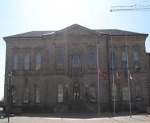 Guelph City Hall150 m · City of Guelph · 1856
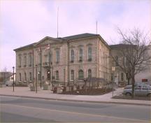 Lieu historique national du Canada de l'Hôtel-de-Ville-de-Guelph150 m · 1856
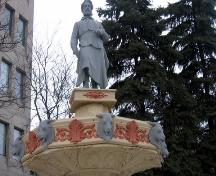 Blacksmith Fountain150 m · City of Guelph · 1885
Lieux semblables
Les lieux dont la description du répertoire se rapproche le plus de celle-ci.
Tiré du Répertoire canadien des lieux patrimoniaux, dans sa dernière mise à jour du 12 décembre 2025. Le texte du répertoire est reproduit mot pour mot.