Lieu patrimonial provincial (désigné)
Cottonwood House Historic Park
Cottonwood, Colombie Britannique
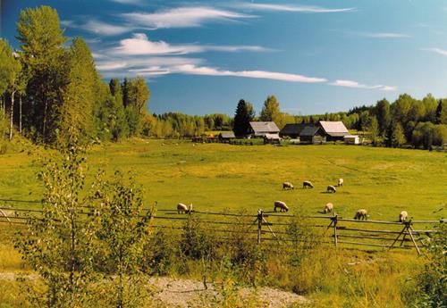
Photo: BC Heritage Branch, 2000
- Construction
- 1864–1865
- Reconnaissance
- 1999
- Par
- Province de la Colombie-Britannique
Le texte du répertoire, mot pour mot
Description
Cottonwood House Historic Park, located 28 kilometres east of Quesnel, BC, comprises 10.68 hectares of agricultural land in a pastoral environment adjacent to the Cottonwood River. This historic place includes ten historic structures, including wooden domestic and farm buildings, and a portion of the original Cariboo Wagon Road.
Valeur patrimoniale
Cottonwood House Historic Park is valued as an excellent example of the legacy of commercial enterprise and settlement associated with travel and transportation along the Cariboo Wagon Road. The value of this place lies in its situation on the historic route of the Wagon Road, and in its various historic functions as roadhouse, ranch, farm, telegraph station, post office, and social and commercial hub of the area. It also holds significant heritage value in its association with the Boyd family, who owned the property and conducted business here between 1874 and 1951.
The roadhouse, general store, various farm structures, and their pastoral surroundings are integral to the heritage value of this place, as they provide a tangible example of the early non-native settlement and commerce which were driven by the nineteenth century quest for gold in the Cariboo region of British Columbia. It is also noteworthy that Cottonwood House has survived as one of the few remaining examples of a Cariboo roadhouse which flourished after the peak of gold-rush activity.
SourceBC Heritage Branch Properties Files
Éléments caractéristiques
The character-defining elements of Cottonwood House Historic Park include:
- the situation of the historic place within a pastoral environment
- the large cottonwood tree in front of the roadhouse
- the portion of the original 1863 Cariboo Wagon Road which runs through the property
- the cluster of original pre-1951 log buildings which comprises the core area of the historic place
- the identifying features of the buildings such as scale, colour, detail, patina, fittings, locations and spacing, attributable to their time of construction
- the construction methods evident in the forms and materials of the historic wooden structures
- evidence of historic farming and ranching activities as seen in such buildings as the double barn, horse barn, and root cellar
- evidence of historic commercial activities as seen in such buildings and structures as the roadhouse, general store, and telegraph poles and wires
Fin du texte du répertoire
Emplacement
53.05068° N, 122.15842° W
Itinéraire (s’ouvre dans un nouvel onglet)L’inscription au répertoire ne rend pas un lieu accessible au public. Beaucoup sont des résidences ou des commerces privés; admirez-les depuis la rue.

Chargement de la carte…
À proximité
Lieux semblables
Les lieux dont la description du répertoire se rapproche le plus de celle-ci.
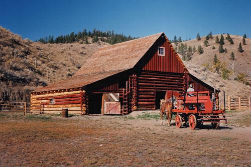 Hat Creek RanchSubd. D, Colombie Britannique
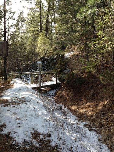 Wildhorse Creek Historic SiteEast Kootenay, Colombie Britannique
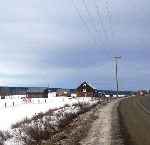 Felker Homestead118 Mile House, Colombie Britannique
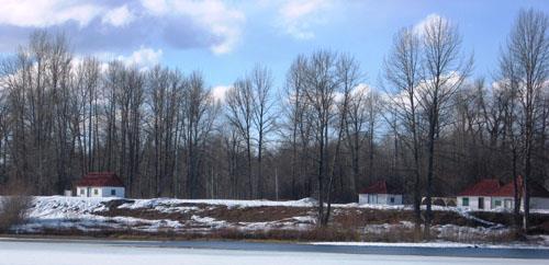 Fort McLeod Historic ParkMcLeod Lake, Colombie Britannique
- Booth HouseQuesnel, Colombie Britannique
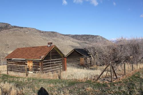 Wilson Residence and Shedsnear Savona, Colombie Britannique
Tiré du Répertoire canadien des lieux patrimoniaux, dans sa dernière mise à jour du 12 décembre 2025. Le texte du répertoire est reproduit mot pour mot.