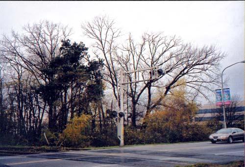
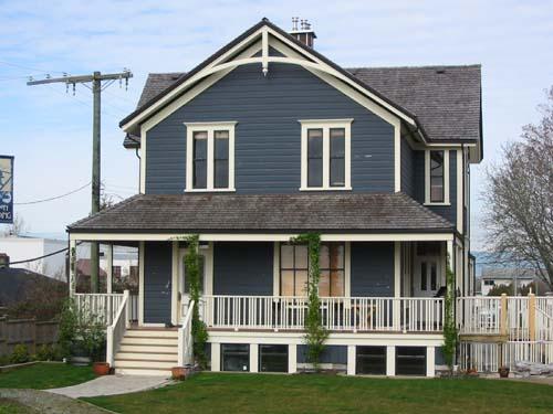
Photo: Denise Cook Design, 2004.
- Construction
- 1890–1900
- Reconnaissance
- 1990
- Par
- Administrations locales (C.-B.)
Le texte du répertoire, mot pour mot
Description
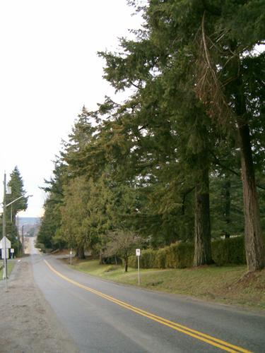
Fronting River Road, the Brighouse Homestead site includes the remains of significant tree planting, only a portion of those on the original 600 acre property. The site has been developed and contains a diverse number of land uses, mostly light industrial. The historic place includes the remaining heritage trees.
Valeur patrimoniale
The Brighouse Homestead and Heritage Trees site has historical value because of its association with early Richmond pioneer Samuel Brighouse, one of the 'Three Greenhorns' and eventually one of the largest landowners on Richmond's Lulu Island. The Brighouse Homestead was one of the pattern of large farms that were located near water access on the Middle Arm of the Fraser River at the turn of the century. Richmond's original and subsequent Town Halls were located on Brighouse's property, which eventually became part of Richmond's Town Centre.
The tree plantings reflect the original pattern of English Oak, European Ash, and Scotch Pine that was laid out by Brighouse in a grid pattern typical of Richmond's early agricultural development. In an era of pioneering in North America, the tree seedlings he brought over from England represent a connection to the familiar landscapes of that country.
SourceCity of Richmond Clerk's Department File #4200-02.
Éléments caractéristiques
Character defining elements of the Brighouse Homestead and Heritage Trees include:
- The remains of the distinct tree planting completed by Samuel Brighouse in and around his homestead, part of a unique collection of a number of different tree species brought over from England
- The remains of agricultural grid patterns, clustered woodlots, and perimeter planting that once existed around the homestead and which reflect the original land use and layout of the Brighouse farm
- The location of the homestead close to river access on the Middle Arm of the Fraser River and its relationship to the river, dyke and road
- The view from the homestead site north to the Middle Arm and the North Shore Mountains which reflects this pattern of river access
Fin du texte du répertoire
Emplacement
49.17649° N, 123.14725° W
Itinéraire (s’ouvre dans un nouvel onglet)L’inscription au répertoire ne rend pas un lieu accessible au public. Beaucoup sont des résidences ou des commerces privés; admirez-les depuis la rue.

Chargement de la carte…
À proximité
Les 35 lieux de Richmond
Lieux semblables
Les lieux dont la description du répertoire se rapproche le plus de celle-ci.
Tiré du Répertoire canadien des lieux patrimoniaux, dans sa dernière mise à jour du 12 décembre 2025. Le texte du répertoire est reproduit mot pour mot.