Répertoire du patrimoine communautaire
150 Mile House Courthouse
150 Mile House, Colombie Britannique
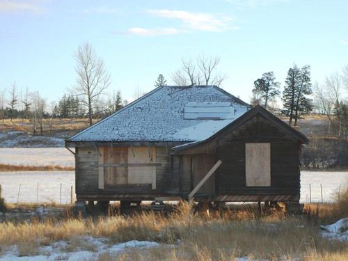
Photo: Cariboo Regional District, 2011
- Construction
- 1913
- Reconnaissance
- 2007
- Par
- Administrations locales (C.-B.)
Le texte du répertoire, mot pour mot
Description
The 150 Mile House Courthouse is a weathered single-storey wood-frame building which is supported on blocks in a temporary location beside Highway 97 at 150 Mile House, in the Cariboo Region of British Columbia. It has a cedar-shingled cottage-style hipped roof, a covered porch, and window openings without glass.
Valeur patrimoniale
Built in 1913 and rescued from demolition twice by community volunteers, the 150 Mile House Courthouse is the last evidence of the importance of 150 Mile House as a government administrative centre and major regional supply centre during the late nineteenth and early twentieth centuries.
The 150 Mile House Courthouse is characteristic of British Columbia government courthouses of the time, representing the need for law and order along the Gold Rush Trail. It was the B.C. Provincial Police Constable's residence as well as the courthouse and jail. Although no longer used as a courthouse after 1928, the building's significance to the community also includes its use as a post office for many years.
SourceCariboo Regional District
Éléments caractéristiques
Key character-defining elements of the 150 Mile House Courthouse include its:
- location within the community of 150 Mile House
- floor plan designed to 1913 B.C. government specifications (with courtroom, jail cell, kitchen, bedroom and porch), including building materials, finishing materials, and window and door locations
- evidence of the original interior spatial configuration
- evidence of original wood siding and flooring, cedar shingles, and some interior finishing materials
- original window casings and frames
- decorative gingerbread trim on the porch
- original finial
- remnants of original fireplaces
Fin du texte du répertoire
Emplacement
52.11085° N, 121.92929° W
Itinéraire (s’ouvre dans un nouvel onglet)L’inscription au répertoire ne rend pas un lieu accessible au public. Beaucoup sont des résidences ou des commerces privés; admirez-les depuis la rue.

Chargement de la carte…
À proximité
Lieux semblables
Les lieux dont la description du répertoire se rapproche le plus de celle-ci.
 Felker Homestead118 Mile House, Colombie Britannique
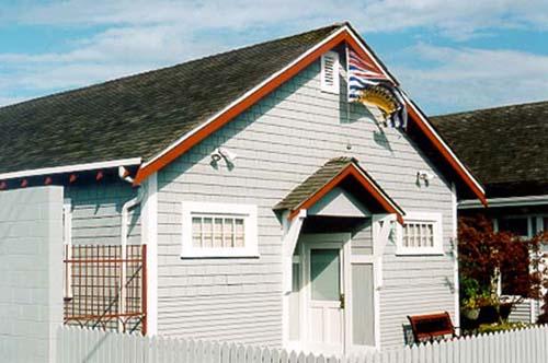 Steveston CourthouseRichmond, Colombie Britannique
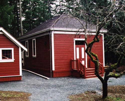 The Old School HouseHighlands, Colombie Britannique
 Century HouseNew Westminster, Colombie Britannique
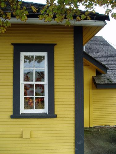 British Columbia Provincial Police StationTerrace, Colombie Britannique
 Nakusp CourthouseNakusp, Colombie Britannique
Tiré du Répertoire canadien des lieux patrimoniaux, dans sa dernière mise à jour du 12 décembre 2025. Le texte du répertoire est reproduit mot pour mot.