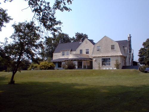
Fort Tipperary - General view with the former Shaughnessy House in the background.
Photo: PNB 2004
- Recognized
- 1995
- By
- Province of New Brunswick
The register’s text, word for word
Description
Fort Tipperary consists of the remains of a star-shaped fortification located on an approximately 1.7 ha site on Prince of Wales Street in the Town of St. Andrews. Earthworks are the only visible remains of the fort built to defend St. Andrews during the War of 1812.
Heritage value
Fort Tipperary was designated a Provincial Historic Site for its association with New Brunswick's military history and for its potential as an archaeological site.
Fort Tipperary, along with three blockhouses, was planned as part of the defensive network for the important but exposed coastal St. Andrews during the war of 1812.
Situated at the back of the community, Fort Tipperary had a commanding view of the settlement and the approach by sea. The War of 1812 ended and peace was restored before the fort was completed, the garrison departed shortly after the signing of the Treaty of Ghent in 1814.
The star shaped fort consisted of stockade on earthen ramparts that measured approximately 400 x 200 feet. Other fortifications of the same period exist in the province, but their earthworks have not survived to the same extent as those of Fort Tipperary’s.
Subsequently, the fort was rearmed during the threat of the Fenian Raids. The site was later used by the Provincial militia for training. In 1901, the barracks were torn down. The site has value in the potential archaeological features and artefacts of a fortification of this configuration from the War of 1812.
SourceProvince of New Brunswick, Department of Wellness, Culture and Sport, Heritage Branch, Site File # 64.
Character‑defining elements
The character-defining elements that relate to Fort Tipperary as an expression of a fortification to defend St. Andrews include:
- its context and commanding view;
- its almost completely intact earthen ramparts;
- two bronze 9-pounder cannons (demi-culverins) related to the War of 1812;
- two iron 32-pounder cannons (demi-cannons) related to a rearming of the fort in response to the Fenian Raids.
End of the register’s text
Location
69 Prince of Wales Street, St Andrews, New Brunswick, E5B, Canada
45.08031° N, 67.05208° W
Get directions (opens in a new tab)Being on the register doesn’t make a place open to visitors. Many are private homes or businesses; please view them from the street.

Loading map…





Similar places
Places whose register descriptions are closest to this one.
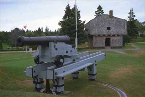 St. Andrews Blockhouse National Historic Site of CanadaSaint Andrews, New Brunswick
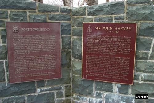 Fort Townshend National Historic Site of CanadaSt. John's, Newfoundland And Labrador
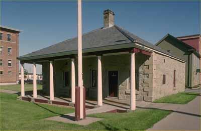 Fredericton Military Compound National Historic Site of CanadaFredericton, New Brunswick
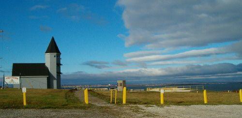 Fort PetrieNew Victoria, Nova Scotia
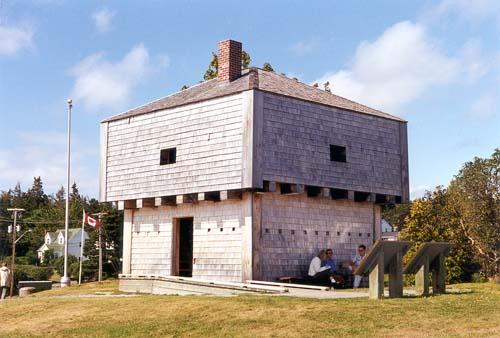 St. Andrews BlockhouseSaint Andrews, New Brunswick
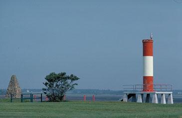 Fort Gaspareaux National Historic Site of CanadaPort Elgin, New Brunswick
From the Canadian Register of Historic Places, as last updated on December 12, 2025. The register’s text is shown word for word.