National Historic Site of Canada
Fort Nerepis National Historic Site of Canada
Woodmans Point, New Brunswick
Also known as Fort Nerepis, Beauhébert Fort, Beauhébert
- Built
- 1659
- Recognized
- 1930
- By
- Government of Canada
The register’s text, word for word
Description
Fort Nerepis National Historic Site of Canada is strategically located at Woodmans Point on the confluence of the Saint John and Nerepis Rivers in New Brunswick. Originally a fortified Indigenous village, a small French fort was built at the original site circa 1749 by Charles Deschamps de Boishébert. The remains of Fort Nerepis and its precise location have never been found; however, the area on Woodmans Point is marked by a cairn and plaque erected by the Historic Sites and Monuments Board of Canada. The designation refers to the presumed location of the footprint of the fort at the time of designation in 1930.
Heritage value
Fort Nerepis was designated as a national historic site of Canada in 1930. It is recognized because:
- it is the site of an ancient Wolastoqiyik (Maliseet) stronghold;
- in 1749 it was strengthened by Charles Deschamps de Boishébert and used by the French in their operations against the British for several years.
Nerepis was first known to have been the site of a fortified Indigenous village, strategically positioned to control entry into interior New Brunswick along both the Saint John and Nerepis rivers. One of the earliest documented references to Nerepis was in 1697, which noted that the Sr. de Neuvillette would take scouts from Nerepis when he journeyed along the river. Sometime after 1749, Lieutenant Charles Deschamps de Boishébert et de Raffetot moved to this location to build a small fort, and it is from him that the other names of the fort were derived. This fort remained a French foothold until around 1755 when British forces under Colonel Robert Monckton began the expulsion of Acadian French settlers throughout the region.
SourceHistoric Sites and Monuments Board of Canada, Minutes, May 1931, December 2008.
Character‑defining elements
Key elements contributing to the heritage value of this site include:
- the location of the fort, on Woodmans Point in the community of Grand Bay-Westfield;
- its strategic setting at the confluence of the Nerepis and Saint John rivers;
- the integrity of any surviving or as yet unidentified archaeological remains which may be found within the site in their original placement and extent;
- the viewscapes across the two rivers.
End of the register’s text
Location
Woodmans Point Road, Woodmans Point, New Brunswick, Canada
45.37020° N, 66.23419° W
Get directions (opens in a new tab)Being on the register doesn’t make a place open to visitors. Many are private homes or businesses; please view them from the street.

Loading map…
Nearby
 Lingley Family Homestead1.1 km · Grand Bay-Westfield
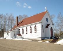 St. Augustine's Roman Catholic Church1.3 km · Grand Bay-Westfield · 1926
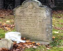 Nase Cemetery1.5 km · Grand Bay-Westfield
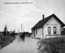 Westfield Beach1.7 km · Grand Bay-Westfield
 Black Loyalist Land Grants2 km · Grand Bay-Westfield
 St. James Anglican Cemetery2.2 km · Grand Bay-Westfield
Similar places
Places whose register descriptions are closest to this one.
 Fort Gaspareaux National Historic Site of CanadaPort Elgin, New Brunswick
 Fort Nashwaak (Naxoat) National Historic Site of CanadaFredericton, New Brunswick
 Fort Charnisay National Historic Site of CanadaSaint John, New Brunswick
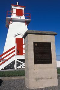 Fort Amherst National Historic Site of CanadaSt. John's, Newfoundland And Labrador
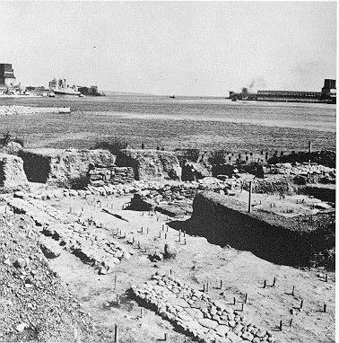 Fort La Tour National Historic Site of CanadaSaint John, New Brunswick
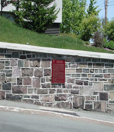 Fort William National Historic Site of CanadaSt. John's, Newfoundland And Labrador
From the Canadian Register of Historic Places, as last updated on December 12, 2025. The register’s text is shown word for word.