National Historic Site of Canada
Colony of Avalon National Historic Site of Canada
Ferryland, Newfoundland and Labrador
Also known as Colony of Avalon, Colonie d'Avalon, Lord Baltimore’s House, David Kirke's House
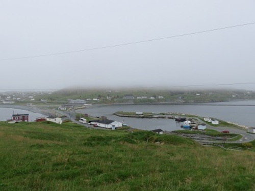
View of the Colony of Avalon National Historic Site of Canada
Photo: Parks Canada | Parcs Canada
- Recognized
- 1953
- By
- Government of Canada
The register’s text, word for word
Description
Colony of Avalon National Historic Site of Canada is a 17th-century archaeological site located 60 kilometres south of St. John’s, Newfoundland. Situated on the east coast of the island, the site extends across the narrow Avalon Peninsula and the small harbour at the town of Ferryland. Ongoing archaeological excavation and research managed by the Colony of Avalon Foundation has revealed extensive traces of the 17th-century English settlement and many related artifacts. The site now features an interpretive centre and heritage gardens. Official recognition refers to the designated place that extends across the narrow Avalon Peninsula delineated by a polygon.
Heritage value
Colony of Avalon was designated a national historic site of Canada in 1953. It is designated because:
- it is the site of the house of Sir George Calvert (Lord Baltimore), founder of the Ferryland plantation in 1621;
- abandoned by Calvert in 1629, Ferryland continued to be an important fishing and commercial station and the house became the seat of Sir David Kirke’s government of Newfoundland between 1637 and 1650
Intending to establish a permanent English colony in the New World, Sir George Calvert, later Lord Baltimore, purchased a tract of land on the east coast of Newfoundland from Sir William Vaughan in 1620. A year later, in 1621, Calvert sent 12 settlers under the command of Captain Edward Wynne to establish the Colony of Avalon on this land. They were subsequently followed, in the winter of 1622-1623, by another 32 colonists, including women and children. Calvert himself visited the colony in 1627 and settled with his family at Mansion House, in 1628. His experience at the Colony of Avalon prompted him to ask King Charles I to grant him land further south in Virginia due to the suffering of the colonists. His request was granted to his son, Cecil, after his death in 1632.
The Colony of Avalon came under the control of Sir David Kirke when he established his headquarters at the site of present day Ferryland to serve as Newfoundland’s seat of government between 1637 and 1650. Kirke headed a syndicate that had been given the island of Newfoundland in 1637 as compensation for the return to the French of Port-Royal and Québec, two colonies that Kirke and his brothers, under the commission of King Charles I, had captured in the 1620s. Kirke renamed Ferryland “Pool Plantation” and administered colonial affairs from a house he had taken over from Lord Baltimore’s representative in the colony. In addition to running a successful fishing business, Kirke governed Newfoundland until 1650. Despite raids by the Dutch in 1673 and later by the French in 1696, who burned the colony to the ground and expelled its inhabitants, many features of the original settlement have remained and have been exposed and identified through extensive archaeological excavations.
SourceHistoric Sites and Monuments Board of Canada, Minutes, 1953, October 1969, August 2009
Character‑defining elements
Key elements contributing to the heritage value of this site include:
- its situation on the Avalon Peninsula on the Atlantic Ocean, set in a rolling, open coastal landscape;
- the integrity of discovered, or as yet unidentified archaeological features including any in situ vestiges of structural remains; the integrity of any surviving archeological remains relating to the settlement, which may be found within the site in their original placement and extent;
- the integrity of the collection of unearthed artefacts associated with the 17th-century settlement located at Ferryland and the Avalon Peninsula, including cannonballs, projectile points, padlocks, gold rings, keys, clay pipes, a gravestone, a gold spur, pottery, and coins;
- the viewscapes to the Atlantic Ocean and the community of Ferryland.
End of the register’s text
Location
On Pool Road, Ferryland, Newfoundland and Labrador, Canada
47.02262° N, 52.87915° W
Get directions (opens in a new tab)Being on the register doesn’t make a place open to visitors. Many are private homes or businesses; please view them from the street.

Loading map…
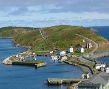 Colony of Avalon Special Preservation Area Municipal Heritage Districtwithin 100 m
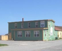 Bernard Kavanagh Premises Municipal Heritage Site400 m
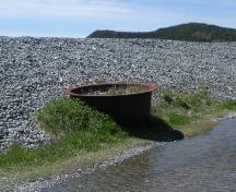 The Old Bark Pot Municipal Heritage Site400 m
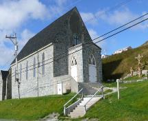 Holy Trinity Roman Catholic Church Registered Heritage Structure500 m · 1863
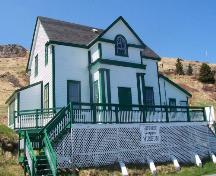 Historic Ferryland Museum Municipal Heritage Site600 m · 1916
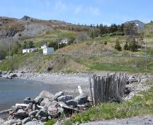 North Side Burial Ground Municipal Heritage Site1 km
Similar places
Places whose register descriptions are closest to this one.
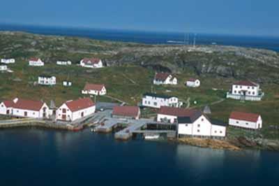 Battle Harbour Historic District National Historic Site of CanadaBattle Harbour, Newfoundland And Labrador
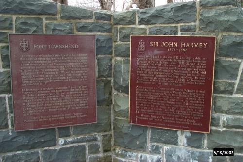 Fort Townshend National Historic Site of CanadaSt. John's, Newfoundland And Labrador
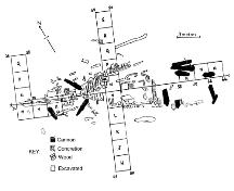 Bay Bulls Harbour Provincial Historic SiteBay Bulls, Newfoundland And Labrador
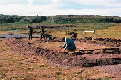 Port au Choix National Historic Site of CanadaPort au Choix, Newfoundland And Labrador
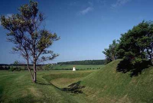 Skmaqn–Port-la-Joye–Fort Amherst National Historic Site of CanadaRocky Point, Prince Edward Island
 Fort Amherst National Historic Site of CanadaSt. John's, Newfoundland And Labrador
From the Canadian Register of Historic Places, as last updated on December 12, 2025. The register’s text is shown word for word.