Bouctouche Seaport
Also known as: Bouctouche Wharf, Quai de Bouctouche, Bouctouche Seaport
Description
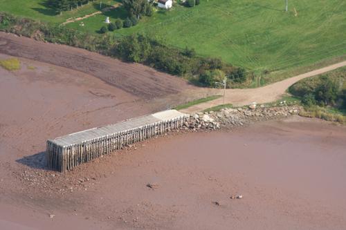
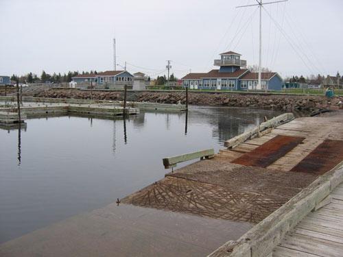
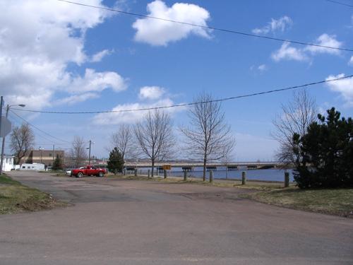
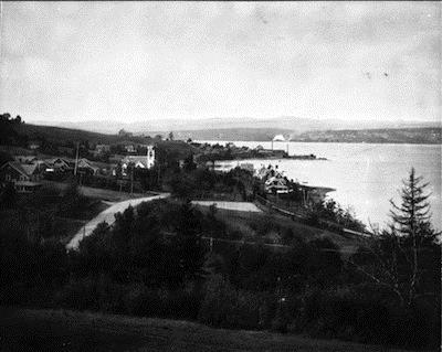
Covering an area of 88 metres along the water by 20 metres and accessible by a network of pathways, the Bouctouche Seaport include an asphalt wharf with timber guardrails located near Place Châtellerault, the Saint-Jean-Baptiste Church, the André-F. Richard Bridge, and the riverside park in Bouctouche.
Heritage Value
The heritage value of the Bouctouche Seaport as an important local historic place lies in its contribution to the region’s socio-economic sector. It is a rare, concrete example of the small seaports in the Maritimes that were the scene of significant economic activity in the 19th and 20th centuries. In the 19th century, shipbuilding and timber export were flourishing businesses. In the 20th century, those gave way to significant pulpwood export, which continued into the 1960s.
Added heritage value is attributed to this site owing to the presence of the Irving Oil Company. The company’s cold storage facility was located next to the port. During the Second World War, Irving built rafts there to be used for military maneuvers in Europe. After the war, the company transformed many corvettes into cargo ships.
Source: Kent Museum, 150 Du Couvent Road Bouctouche, N.B.
Character-Defining Elements
The character-defining elements associated with the Bouctouche Seaport include:
- asphalt wharf with timber guardrails measuring 88 metres along the water by 20 metres to the north;
- location along the river;
- accessibility by a network of pathways;
- access by sea as a marina;
- interpretation panel dedicated to the Bouctouche Seaport.
Gallery
1 imageLocation
Loading map...
Similar Places
Heritage sites with similar characteristics