Registered Heritage Structure
Bell Island No. 2 Mine Registered Heritage Structure
Wabana, Newfoundland and Labrador
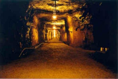
Looking down the mine shaft of the No. 2 Mine. Note the hand carved sides and the installed lighting. This shaft slopes at a grade of 10 percent.
Photo: No. 2 Mine and Museum, 2006
- Recognized
- 2006
- By
- Heritage Foundation of Newfoundland and Labrador
The register’s text, word for word
Description
The Bell Island No. 2 Mine is the site of an early twentieth century iron ore mine located in the community of Wabana on Bell Island and also under the waters of Conception Bay in which Bell Island is situated. The designation is confined to the area defined by the entrance or collar of the mine at ground level, excluding any above-ground structures, to a depth along the Main Slope to Mine Level 23 at a distance of 650 feet from the collar, and extending on both sides of the main slope to a width of two “rooms”. It is accessed through an underground entranceway located in the basement of the Bell Island No. 2 Mine and Museum.
Heritage value
The Bell Island No. 2 Mine has been designated for its historic, scientific and cultural values.
The Bell Island No. 2 Mine achieves historic and scientific values through its age and uniqueness of construction in Newfoundland. The No. 2 Mine was first begun in 1902 by the Nova Scotia Steel Company Ltd. It is the site of an iron ore vein that runs beneath Conception Bay, in which Bell Island sits. The mine collar, or entrance, is located on the north side of the island in the community of Wabana and which today is sited under the Bell Island No. 2 Mine and Museum building.
The tunnel was mined using a type of construction called “room and pillar”. This method leaves large pillars of iron ore in place to support overhead weight, while “rooms” or open spaces, were cut between pillars; the resulting iron ore that once comprised the room was then brought to the surface for processing.
The Mine tunnel was dug at a ten percent slope with a series of fairly uniform tunnels approximately four meters wide and four meters high. Through the main tunnel, where the ore was transported to the surface using ore cars and a rail system, each pillar was numbered; the lowest number starting near the collar. The designation ends on level 23 and the remainder of the mine tunnels are flooded and continue under ground and under the waters of Conception Bay for more than four kilometres. This was the first mine in Newfoundland and Labrador to employ the “room and pillar” method of construction in a submarine environment. It was also once the world’s largest submarine iron ore mine.
The No. 2 Mine had great cultural impact on Bell Island, in particular the community of Wabana and also on other communities surrounding Conception Bay. Bell Island was a major producer to the world steel market during the early 1900s. The No. 2 Mine played an important role by providing large quantities of iron ore, and also by creating an important alternative to emigration at a time when local resource industries were declining. The mine provided secure employment on Bell Island, which was first sparsely inhabited as an agricultural area. As a mining town the population soared to 14,000 during the peak of production. The No. 2 Mine ceased operations in 1949, though other Bell Island mines continued to operate until 1966, ending 71 years of an industry that saw 79 million tons of ore extracted and sold worldwide.
SourceMinute 58, November 30-December 1, 2006, Heritage Foundation of Newfoundland and Labrador.
Character‑defining elements
All those original elements of the early twentieth century iron ore mine, down to level 23 and to a width of two tunnels extending from each side of the main tunnel, including:
-man-made tunnels to a depth of level 23;
-existing patterns of the room and pillar method of construction;
-tunnel layout and chamber height, width and dimensions; and -remnants and evidence of mining activity.
End of the register’s text
Location
Wabana, Newfoundland and Labrador, A0A, Canada
47.64645° N, 52.94732° W
Get directions (opens in a new tab)Being on the register doesn’t make a place open to visitors. Many are private homes or businesses; please view them from the street.

Loading map…
Nearby
 Somerton Propertywithin 100 m · 1927
 West Point Cemetery Municipal Heritage Site6.6 km · Portugal Cove-St. Philip's
 White House7 km · Portugal Cove
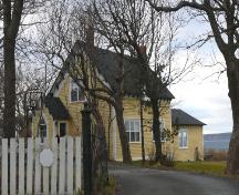 Alderdice Property Municipal Heritage Building12 km · Conception Bay South · 1890
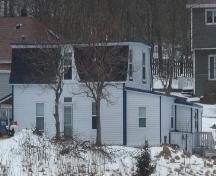 Miller House Municipal Heritage Site12 km · Conception Bay South
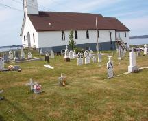 Topsail United Church Cemetery Municipal Heritage Site12 km · Conception Bay South
Similar places
Places whose register descriptions are closest to this one.
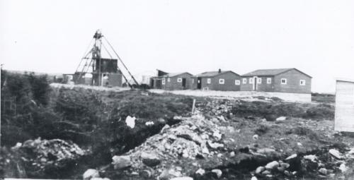 Iron Springs Mine Municipal Heritage SiteSt. Lawrence, Newfoundland And Labrador
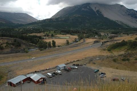 West Canadian Collieries MineNear Crowsnest Pass - Bellevue, Alberta
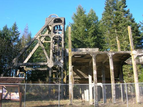 Morden CollieryNanaimo Regional District, British Columbia
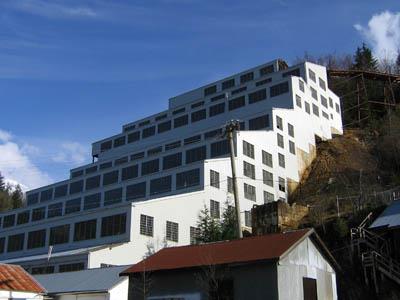 Britannia Mines Concentrator National Historic Site of CanadaBritannia Beach, British Columbia
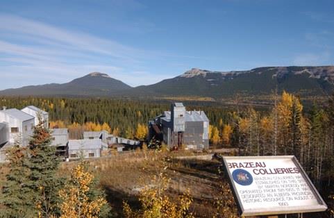 Nordegg / Brazeau Collieries MinesiteNordegg, Alberta
 Springhill Coal Mining National Historic Site of CanadaSpringhill, Nova Scotia
From the Canadian Register of Historic Places, as last updated on December 12, 2025. The register’s text is shown word for word.