National Historic Site of Canada
Mazinaw Pictographs National Historic Site of Canada
Bon Echo Provincial Park / Parc provincial Bon Echo, Ontario
Also known as Mazinaw Pictographs, Peintures rupestres Mazinaw
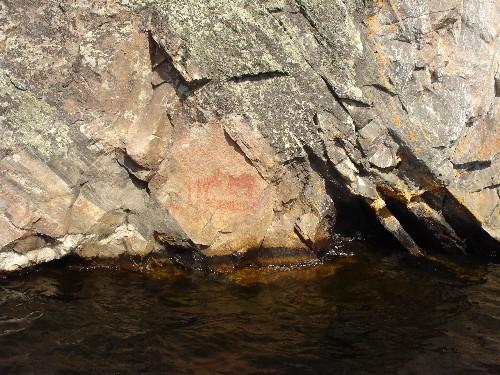
View of the rock art paintings on the cliff face that rises sheer out of the water at Mazinaw Pictographs National Historic Site of Canada, 2008.
Photo: Agence Parcs Canada / Parks Canada Agency, Erica Lenton, 2008.
- Recognized
- 1982
- By
- Government of Canada
The register’s text, word for word
Description
Located at the confluence of Upper and Lower Mazinaw Lakes, within Bon Echo Provincial Park, the Mazinaw Pictograph National Historic Site of Canada is a large collection of pictographic symbols applied to a cliff face that rises sheer out of the water. The official recognition refers to a narrow band of 30 meters to the west and to the east of the cliff face.
Heritage value
Mazinaw Pictographs was designated a national historic site of Canada in 1982 because:
- it is the largest rock art site on the southern Canadian Shield and the only major pictograph site in Southern Ontario; and,
- it is a very complex site containing many more abstract and geometric symbols than is normally the case.
Archaeological surveys of this site began as early as 1895, and continued periodically through to the present times. For size and complexity, this site has no rivals; no doubt the dramatic setting of a great cliff rising sheer out of the water was a factor in the choice of this location for pictographic arts.
SourceHistoric Sites and Monuments Board of Canada, Minutes, April 2006.
Character‑defining elements
Key elements contributing to the heritage value of this site include:
- the rock art paintings, spread out over 65 rock faces along a 2.5 metre stretch of the cliff face;
- the relatively natural setting of the paintings in relation to the cliff, the lake, and the surrounding provincial park;
- views from the far shore, or from the water, towards the cliffs.
End of the register’s text
Location
Bon Echo Provincial Park / Parc provincial Bon Echo, Ontario, K0H, Canada
44.90000° N, 77.20630° W
Get directions (opens in a new tab)Being on the register doesn’t make a place open to visitors. Many are private homes or businesses; please view them from the street.

Loading map…
Similar places
Places whose register descriptions are closest to this one.
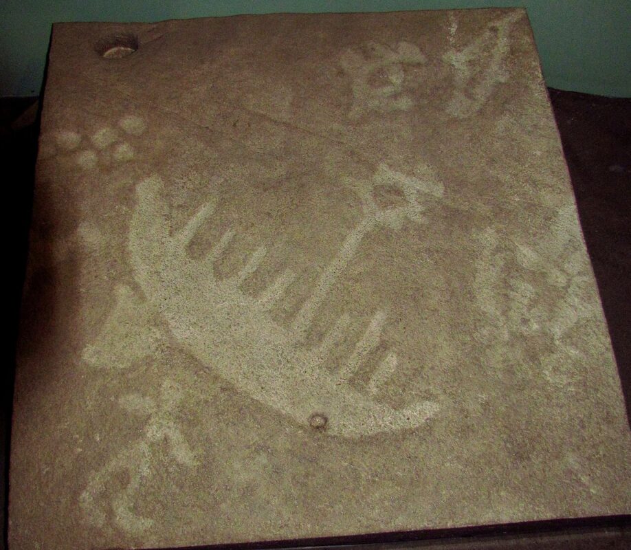 EnhancedPeterborough Petroglyphs National Historic Site of CanadaWoodview, Ontario
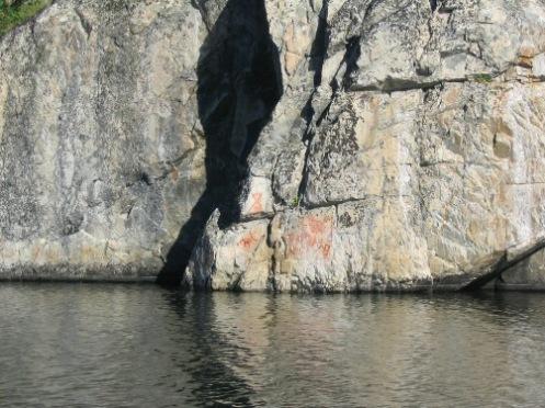 Hickson - Maribelli Lakes Pictographs Protected AreaNorthern Saskatchewan Administration District, Saskatchewan
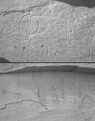 Áísínai'pi National Historic Site of CanadaWriting-on-Stone Provinicial Park, Alberta
 Pic River Site National Historic Site of CanadaPic River, Ontario
 Kitselas Canyon National Historic Site of CanadaKitselas, British Columbia
 Zephyr Creek PictographsNear Longview, Alberta
From the Canadian Register of Historic Places, as last updated on December 12, 2025. The register’s text is shown word for word.