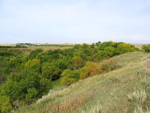
Photo: Government of Saskatchewan, Marvin Thomas, 2004.
- Reconnaissance
- 1981
- Par
- Administrations locales (Sask.)
Le texte du répertoire, mot pour mot
Description
The Trapper's Cabin Site is a Municipal Heritage Property encompassing 32 hectares of land bordering the Wood River in south-central Saskatchewan near the Town of Gravelbourg. The property features the remains of a small dugout shelter situated on the wooded river bank.
Valeur patrimoniale
The heritage value of the Trapper's Cabin Site lies in its status as the only surviving trapper's cabin in the area and in its association with western Canada's once pre-eminent fur industry. The cabin was built and used by Norman Poulin, a local Métis farmer who supplemented his farm income during the depression years of the 1930s by trapping fur-bearing animals along the Wood River. Consisting of an excavation in the river bank originally enclosed with log walls and a brush-and-earth roof, the now dilapidated structure is the only surviving vestige of five similar shelters used by Mr. Poulin as he operated his trapline along the river. Today, the cabin remains are a reminder of a former community member’s resourcefulness in meeting the economic challenges of the Great Depression by exploiting a resource more typically associated with an earlier era of western Canadian history.
Source:
Rural Municipality of Gravelbourg No. 104 Bylaw No. 5/81.
Éléments caractéristiques
The heritage value of the Trapper's Cabin Site resides in the following character-defining elements:
-those elements that identify the site as a former shelter, including the man-made depression in the river bank, the collapsed timbers that served as roof and wall supports, and artifacts related to the 1930s occupation;
-elements that link the site to the river along which the former owner conducted his trapping activities, including the structure's location on the river bank in its setting among native trees and other natural vegetation.
Fin du texte du répertoire
Emplacement
49.98893° N, 106.48679° W
Itinéraire (s’ouvre dans un nouvel onglet)L’inscription au répertoire ne rend pas un lieu accessible au public. Beaucoup sont des résidences ou des commerces privés; admirez-les depuis la rue.

Chargement de la carte…
À proximité
Les 7 lieux de Gravelbourg RM 104
Lieux semblables
Les lieux dont la description du répertoire se rapproche le plus de celle-ci.
 Trapper's ShackFort Vermilion, Alberta
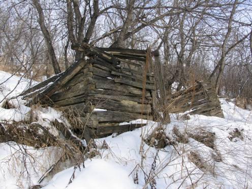 Doukhobor Dugout HouseBlaine Lake RM 434, Saskatchewan
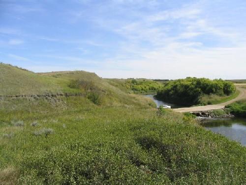 Wamsley Bridge SiteGravelbourg RM 104, Saskatchewan
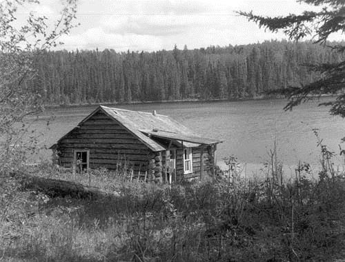 Cabane Grey OwlWaskesiu, Saskatchewan
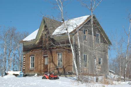 Backwoods Beds and BerriesShellbrook RM 493, Saskatchewan
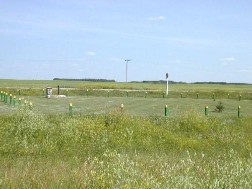 Fort Qu'Appelle - Touchwood Hills Trail Provincial Historic SiteLipton RM 217, Saskatchewan
Tiré du Répertoire canadien des lieux patrimoniaux, dans sa dernière mise à jour du 12 décembre 2025. Le texte du répertoire est reproduit mot pour mot.