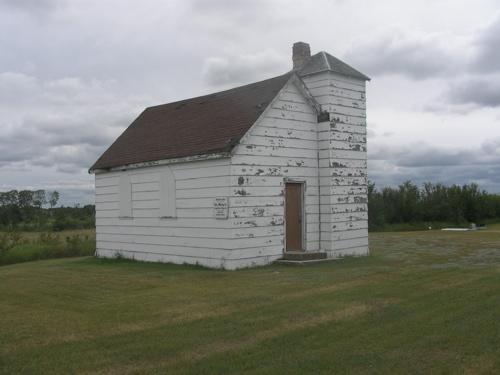
Photo: Fedyk, 2008.
- Construction
- 1913
- Reconnaissance
- 1983
- Par
- Administrations locales (Sask.)
Le texte du répertoire, mot pour mot
Description
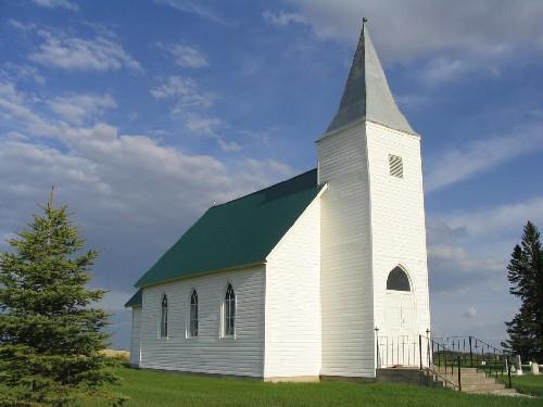
St. Mary's Church is a Municipal Heritage Property occupying four hectares of land in the Rural Municipality of Leask No. 464. The property features a small one-storey, wood-frame church built in 1913, located approximately 30 kilometres northeast of the Village of Leask.
Valeur patrimoniale
The heritage value of St. Mary's Church lies in its status as the only remaining building in the Brightholme district. W. O. Paul, a local carpenter constructed the building in 1913 and a vestry was added in 1925. The church held regular services until 1953 and since then has only been used for special occasions.
The heritage value also lies in the association of the property with the English settlers in Brightholme district. Homesteading began in the Brightholme district in 1902 and initially British settlers of several denominations met for services in local homes. In 1912, traveling Anglican missionaries became available in the area and Anglicans decided to build their own church. The church was named St. Mary’s to honour an anonymous donation of $500 to the construction fund by a woman in England, who was known only as Mary.
The heritage value of the building also lies in its architecture and historical integrity dating from its time of construction. The building features a gable roof, pointed-arch windows and a prominent tower. It retains its wood-frame construction, interior wood panelling and window frames.
Source:
Rural Municipality of Leask No. 464 Bylaw 3-1983.
Éléments caractéristiques
The heritage value of St. Mary’s Church lies in the following character-defining elements:
-those elements that reflect the property’s association with the English settlers and its status as the only remaining building in the Brightholme district, such as its position on its original location;
-those elements that reflect the building’s architecture and historical integrity, such as its gable roof, pointed-arch windows and tower, original wood-frame construction, interior wooden panelling and window frames.
Fin du texte du répertoire
Emplacement
53.06544° N, 106.41749° W
Itinéraire (s’ouvre dans un nouvel onglet)L’inscription au répertoire ne rend pas un lieu accessible au public. Beaucoup sont des résidences ou des commerces privés; admirez-les depuis la rue.

Chargement de la carte…
À proximité
Les 4 lieux de Leask RM 464 Honeywood Nursery11 km · 1934
 Hazel Ridge School11 km · Shellbrook · 1918
 St. Paul's Lutheran Church (Silvergrove)13 km · 1917
 Parkside Public School and Grounds14 km · Parkside · 1920
 Saskatchewan Wheat Pool Elevator14 km · Parkside · 1951
 St. Mary's Anglican Church and Cemetery17 km · Prince Albert RM 461 · 1875
Lieux semblables
Les lieux dont la description du répertoire se rapproche le plus de celle-ci.
 St. Mary's Church and SiteBuchanan RM 304, Saskatchewan
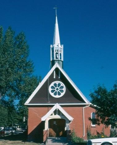 St. Mary's Anglican ChurchMaple Creek, Saskatchewan
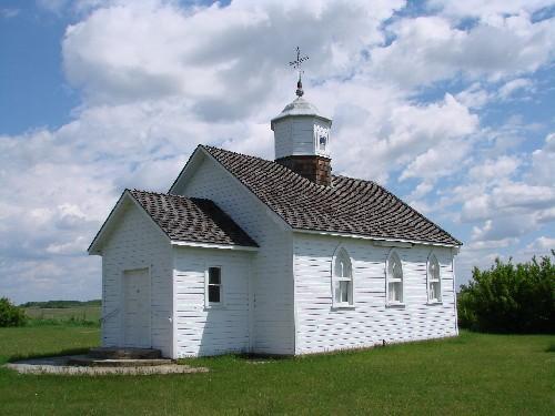 Holy Assumption St. Mary’s Ukrainian Orthodox ChurchSliding Hills RM 273, Saskatchewan
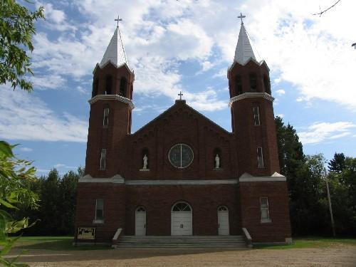 Marysburg Assumption ChurchHumboldt RM 370, Saskatchewan
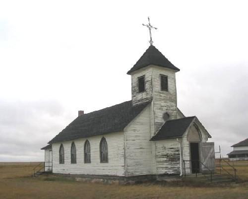 St. Mary's Mission of MaxstoneStonehenge RM 73, Saskatchewan
 St. Saviours Anglican ChurchBirch Hills RM 460, Saskatchewan
Tiré du Répertoire canadien des lieux patrimoniaux, dans sa dernière mise à jour du 12 décembre 2025. Le texte du répertoire est reproduit mot pour mot.