Bien patrimonial municipal
St. Luke's Lutheran Church
Benson RM 35, Saskatchewan
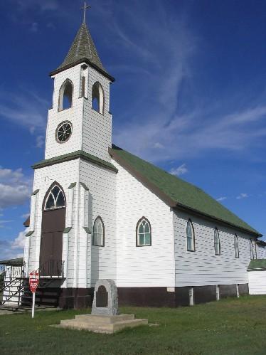
Photo: Government of Saskatchewan, Brett Quiring, 2004.
- Construction
- 1929
- Reconnaissance
- 1983
- Par
- Administrations locales (Sask.)
Le texte du répertoire, mot pour mot
Description
St. Luke’s Lutheran Church is a Municipal Heritage Property located in the Rural Municipality of Benson No. 35 within the Hamlet of Woodley. The property features a one-storey, wood-frame church built in 1929.
Valeur patrimoniale
The heritage value of St. Luke’s Lutheran Church lies in the building’s role as a place of religious worship. The church was established in 1911 by Russo-German settlers. Services were held in a local school until 1929 when the funds were acquired to construct the church. The church has been used ever since as a place of worship, and features extensive religious fixtures, including the wooden raised pulpit, altar and an ornate altarpiece in the sanctuary.
The heritage value of the property also lies in its architecture. The building exhibits the influence of Gothic Revival architecture, similar to many other Lutheran churches in Saskatchewan built in this period. Typical of the style, the church exudes a stately image through its tall vertical proportions, its spire-topped belfry and steep gable roof. The Gothic style is also reflected in the pointed windows, central rose window and extended pilasters at the base of the tower.
Source:
Rural Municipality of Benson No. 35 Bylaw No. 83-1.
Éléments caractéristiques
The heritage value of the St. Luke’s Lutheran Church resides in the following character-defining elements:
-those elements that reflect the religious nature of the property, such as pulpit, and wood-carved altarpiece;
-those elements that reflect the building’s Gothic Revival architecture, such as the bell tower, extended pilasters, gable roof, rose window and pointed windows;
-those elements that reflect the property’s status as a rural church, including the limited massing, small form and its location on its original site.
Fin du texte du répertoire
Emplacement
49.41960° N, 102.90299° W
Itinéraire (s’ouvre dans un nouvel onglet)L’inscription au répertoire ne rend pas un lieu accessible au public. Beaucoup sont des résidences ou des commerces privés; admirez-les depuis la rue.

Chargement de la carte…
Lieux semblables
Les lieux dont la description du répertoire se rapproche le plus de celle-ci.
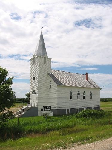 Zion (North Southey) Lutheran ChurchLonglaketon RM 219, Saskatchewan
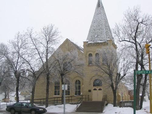 St. Paul's Lutheran ChurchYorkton, Saskatchewan
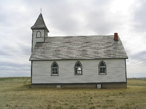 Peace Lutheran ChurchStonehenge RM 73, Saskatchewan
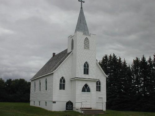 Zion Lutheran ChurchKingsley RM 124, Saskatchewan
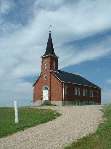 St. John's Lutheran ChurchEdenwold RM 158, Saskatchewan
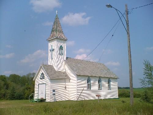 Swedish Evangelical Lutheran ChurchLangenburg RM 181, Saskatchewan
Tiré du Répertoire canadien des lieux patrimoniaux, dans sa dernière mise à jour du 12 décembre 2025. Le texte du répertoire est reproduit mot pour mot.