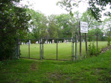
Photo: Kirsten Pries, 2008.
- Reconnaissance
- 2005
- Par
- Administrations locales (Ont.)
Le texte du répertoire, mot pour mot
Description
St. John's Lutheran Cemetery is located at 8933 Woodbine Avenue, on the east side of Woodbine Avenue between Hooper Road and Buttonville Crescent East in the Buttonville area of the Town of Markham. The graveyard dates to circa 1820.
The property was designated by the Town of Markham in 2005 for its heritage value under Part IV of the Ontario Heritage Act (By-law 2005-77).
Valeur patrimoniale
St. John's Lutheran Cemetery is one of the last reminders of what was once a thriving Lutheran community in the Buttonville area and the struggles that many of the original settlers faced when trying to establish a new community in Markham.
The first St. John's Lutheran Church in Buttonville was of log construction and built circa 1820 on land donated by Captain Schutze, a veteran of the War of 1812. In 1853 the Lutherans built a new frame for the church on the site of the log church and in 1892 that church was replaced by another of brick. In 1932 after the congregation relocated, the old church was torn down leaving only the graveyard and remnants of its foundation to mark the site.
Located at 8933 Woodbine Avenue, St. John's Lutheran Cemetery framed by mature trees and set to the south of the village on a height of land over a tributary of the Rouge River, remains a strong and picturesque reminder of the earliest settlers. As a cemetery the principal physical attributes of the St. John's Lutheran Cemetery are the early headstones of marble and granite.
SourceTown of Markham By-law 2005-77.
Éléments caractéristiques
Character defining elements that contribute to the heritage value of St. John's Lutheran Cemetery include the:
- headstones of some of Markham's early Lutheran settlers
- early headstones of marble and granite
- mature trees surrounding the cemetery clearing
- setting to the south of the village
- setting over a tributary of the Rouge River
Fin du texte du répertoire
Emplacement
43.86010° N, 79.36063° W
Itinéraire (s’ouvre dans un nouvel onglet)L’inscription au répertoire ne rend pas un lieu accessible au public. Beaucoup sont des résidences ou des commerces privés; admirez-les depuis la rue.

Chargement de la carte…
À proximité
Les 17 lieux de Town of Markham
Lieux semblables
Les lieux dont la description du répertoire se rapproche le plus de celle-ci.
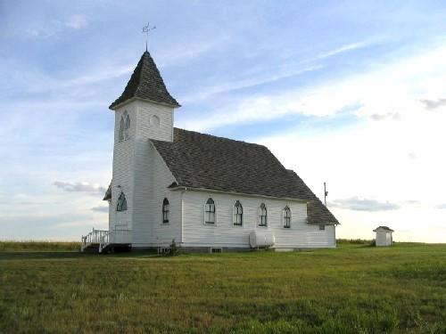 St. John's Lutheran Church and CemeteryRiverside RM 168, Saskatchewan
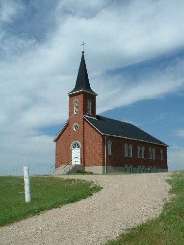 St. John's Lutheran ChurchEdenwold RM 158, Saskatchewan
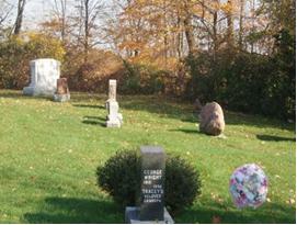 St Mary's CemeteryTown of Oakville, Ontario
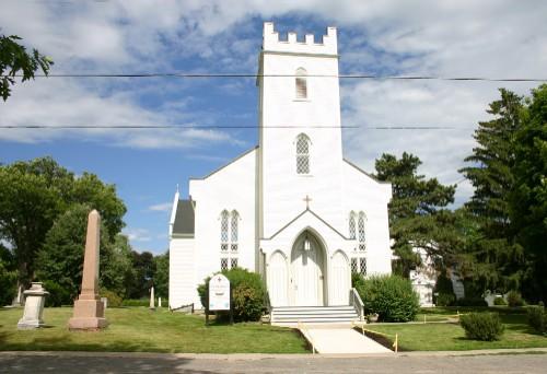 St. Mark's Anglican ChurchPort Hope, Ontario
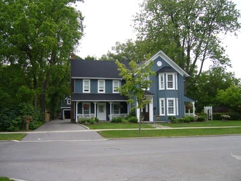 Evangelical Lutheran Church ParsonageTown of Markham, Ontario
- St. Hubert's CemeterySilverwood RM 123, Saskatchewan
Tiré du Répertoire canadien des lieux patrimoniaux, dans sa dernière mise à jour du 12 décembre 2025. Le texte du répertoire est reproduit mot pour mot.