- Reconnaissance
- 2013
- Par
- Administrations locales (C.-B.)
Le texte du répertoire, mot pour mot
Description
The Second Lake Dam is situated underneath the travelled surface of Millstream Lake Road on Section 20, where the road crosses the outlet from Second Lake. The presence of the dam from above is largely imperceptible, but it can be observed from below on the downstream side. The dam, situated between two rock outcrops, consists of a concrete wall and a single buttress perpendicular to the wall.
Valeur patrimoniale
The Second Lake Dam is valued as the oldest recorded dam site in the District of Highlands. Other smaller dams were constructed at various places in the Millstream watershed (i.e., First Lake, Matson Lake, and Mary Lake) mostly during the 1940s and 1950s. The original Second Lake Dam, however, was constructed much earlier and is noted in a pre-emption land survey document from 1889. The dam was described in an 1890 land transfer document for section 18 that included Second and Third Lakes. It specified the vendors, who also owned Section 20, must maintain the Second Lake dam "as will ensure the water at and along the division line of the lands known as section 18 and 20 being of not less than 3 feet."
The dam structure is valued for providing a tangible link to a past recreational culture and the aesthetic values brought by some early Highlands land owners. Water licenses associated with these dams often indicate they were constructed for "land improvement" purposes. This is in contrast to engineering efforts like the Fork Lake ditch, which had strictly agrarian purposes. However, it is also valued for a tangible link to agricultural use as well. It is suspected that later improvements to the structure were made to increase storage above the dam, to allow agricultural use of a wetland below Second Lake on Section 20. This may have also involved the construction of a diversion, still in evidence today, to carry water in a more direct route toward First Lake.
Originally a wooden bridge spanned Millstream Lake Road above the dam, allowing overflow from Second Lake underneath. At some point in the late 1960s or early 1970s the wooden bridge was replaced by a concrete culvert that now sits on top of the old dam flanked by stone walls. The existing concrete dam structure was probably constructed in a slightly later period to simplify maintenance, but likely incorporated parts of the earlier dam.
SourceDistrict of Highlands Municipal Office
Éléments caractéristiques
Key character-defining elements of the Second Lake Dam include:
- Concrete dam structure and buttress
- Stone work flanking concrete bridge
- Scale and placement of dam in narrow opening in rock outcrop
Fin du texte du répertoire
Emplacement
48.51766° N, 123.50440° W
Itinéraire (s’ouvre dans un nouvel onglet)L’inscription au répertoire ne rend pas un lieu accessible au public. Beaucoup sont des résidences ou des commerces privés; admirez-les depuis la rue.

Chargement de la carte…
À proximité
Les 9 lieux de Highlands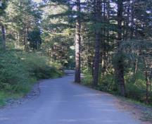
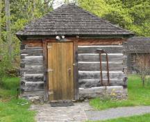
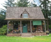
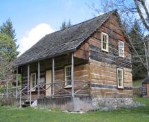
Lieux semblables
Les lieux dont la description du répertoire se rapproche le plus de celle-ci.
 Mallard Lake Dam and Mallard LakeNanaimo, Colombie Britannique
 Cowichan Lake Research StationMesachie Lake, Colombie Britannique
 Harewood Colliery DamNanaimo, Colombie Britannique
 C.P.R DamSwift Current, Saskatchewan
 The Old School HouseHighlands, Colombie Britannique
 Lime KilnHighlands, Colombie Britannique
Tiré du Répertoire canadien des lieux patrimoniaux, dans sa dernière mise à jour du 12 décembre 2025. Le texte du répertoire est reproduit mot pour mot.