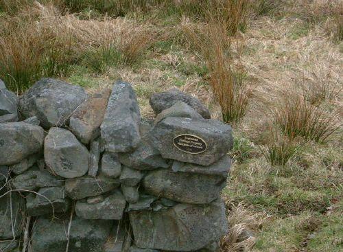
Photo: Heritage Division, NS Dept. of Tourism, Culture & Heritage, 2006
- Construction
- 1871
- Reconnaissance
- 1986
- Par
- Administrations locales (N.-É.)
Le texte du répertoire, mot pour mot
Description
The Port Maitland Cattle Pound is a small square stone wall enclosure that was built around 1871 in the village of Port Maitland, Nova Scotia, as a holding pen for stray cattle. The municipal heritage designation applies to the land and the structure.
Valeur patrimoniale
The Port Maitland Cattle Pound is valued for its association with life in a rural community in the nineteenth and early twentieth centuries. It is also valued as possibly being the last standing cattle pound in Yarmouth County.
The Port Maitland Cattle Pound was built around 1871 on a small piece of land which was equally expropriated from the two abutting properties for the purpose. It is a stone wall enclosure measuring about thirty feet on each side, with an opening which was gated on the side parallel to the road. The common practice was to build the pounds next to a brook, as this one is, or abutting some other source of water for their inmates. These pounds were used to temporarily "incarcerate" stray cattle until their owners paid a fine and reclaimed them. The "usual suspects" picked up included cows, oxen, pigs, goats, sheep and some large fowl. The person whose responsibility it was to catch and pen the loose animals was called the “cattle reeve,” and the position was usually filled by appointment of Municipal Council. Most villages had a cattle reeve and pound, and both were an active and important part of village life until well into the 1900s.
SourceMunicipal Heritage Property files: the Port Maitland Cattle Pound; located at 400 Main Street, Yarmouth, NS.
Éléments caractéristiques
The character-defining elements of the Port Maitland Cattle Pound include:
- location on the main road through the community;
- proximity to a brook;
- square stone wall enclosure measuring approximately 30 by 30 feet.
Fin du texte du répertoire
Emplacement
43.96866° N, 66.14319° W
Itinéraire (s’ouvre dans un nouvel onglet)L’inscription au répertoire ne rend pas un lieu accessible au public. Beaucoup sont des résidences ou des commerces privés; admirez-les depuis la rue.

Chargement de la carte…
À proximité
Les 4 lieux de Port Maitland
Lieux semblables
Les lieux dont la description du répertoire se rapproche le plus de celle-ci.
 Old Port Medway CemeteryPort Medway, Nouvelle Ecosse
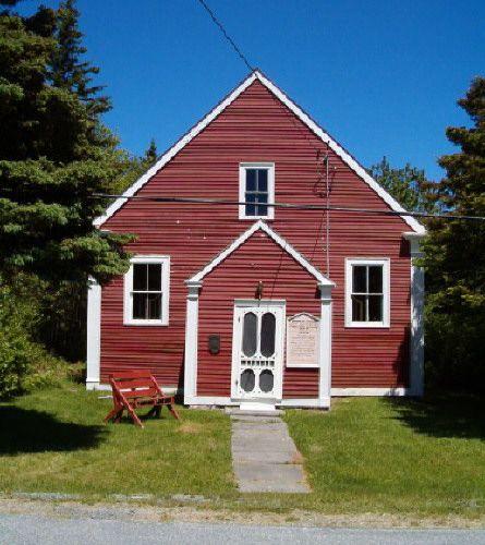 Port Medway Meeting HousePort Medway, Nouvelle Ecosse
 Benjamin B. Porter HousePort Maitland, Nouvelle Ecosse
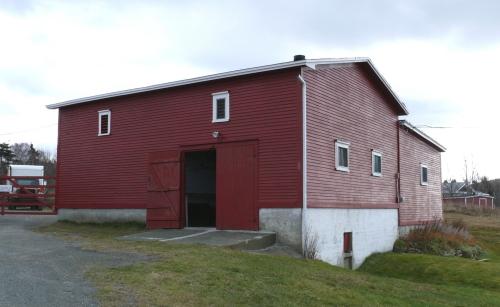 Metcalfe Slaughter House and Barn, Upper Barn, Office and Shed Municipal Heritage Site
 West Point Cemetery Municipal Heritage Site
 Amherst Point Baptist ChurchAmherst Point, Nouvelle Ecosse
Tiré du Répertoire canadien des lieux patrimoniaux, dans sa dernière mise à jour du 12 décembre 2025. Le texte du répertoire est reproduit mot pour mot.