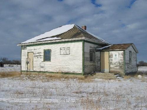
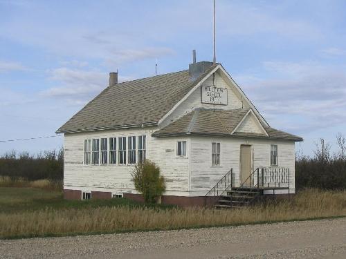
Photo: Clint Robertson, 2006.
- Construction
- 1915
- Reconnaissance
- 1985
- Par
- Administrations locales (Sask.)
Le texte du répertoire, mot pour mot
Description
The Pinto River School is a Municipal Heritage Property located in the Rural Municipality of Auvergne No. 76, 14.5 kilometres south of the Village of Aneroid. The property features a wood-frame, one-room, country schoolhouse built in 1915.
Valeur patrimoniale
The Pinto River School is of heritage importance for its service to the community, primarily as a schoolhouse for Pinto River School District # 3281, from 1915 until 1958. During this time, the schoolhouse also served many additional roles, such as a community meeting place and place of worship. The interior, complete with blackboards, reflects its historic schoolhouse function. Upon its closure as a school, the local citizens maintained the structure for various community activities, most notably as the clubhouse for local 4-H events.
The property is also of heritage value for its architecture, making it a community landmark. On its original site of construction, the hip roofed, one-room schoolhouse retains its originals cladding, plan and sign, making it a familiar landmark in the area.
Source:
Rural Municipality of Avergne No. 76 Bylaw No. 1985-4.
Éléments caractéristiques
The heritage value of the Pinto River School resides in the following character-defining elements:
-those elements that reflect the property’s use as a schoolhouse, including its location on its original site, grassed schoolyard, its open, one-room plan;
-those elements that reflect the property’s architecture that make it a community landmark, including its one-storey, regular rectangular plan on basement with smaller east elevation gabled roof porch; raw concrete foundation and porch steps; wood-frame construction with bevelled siding, cornerboards and trim; cedar-shingled, hipped roof with closed tongue-and-groove eaves; two small rectangular windows immediately below the eaves; tall, red-brick, exterior chimney.
Fin du texte du répertoire
Emplacement
50.27895° N, 107.77701° W
Itinéraire (s’ouvre dans un nouvel onglet)L’inscription au répertoire ne rend pas un lieu accessible au public. Beaucoup sont des résidences ou des commerces privés; admirez-les depuis la rue.

Chargement de la carte…
À proximité
Les 4 lieux de Auvergne RM 76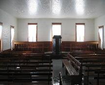 Swift Current Mennonite Heritage Villageà moins de 100 m · Swift Current · 1911
 C.P.R Dam800 m · Swift Current · 1888
 Bâtiment principal 751,4 km · Swift Current · 1964
 First United Church1,5 km · Swift Current · 1913
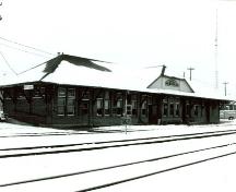 Gare ferroviaire du Canadien Pacifique1,7 km · Swift Current · 1907
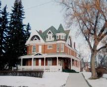 Powley House2 km · Swift Current · 1912
Lieux semblables
Les lieux dont la description du répertoire se rapproche le plus de celle-ci.
Tiré du Répertoire canadien des lieux patrimoniaux, dans sa dernière mise à jour du 12 décembre 2025. Le texte du répertoire est reproduit mot pour mot.