Parc provincial (établissement)
Pilot Bay Lighthouse
near Crawford Bay, Colombie Britannique
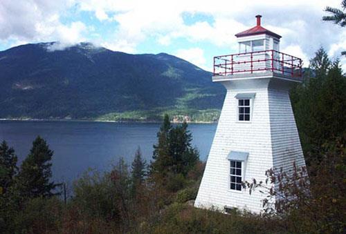
Photo: Ministry of Environment, BC Parks, 2010
- Construction
- 1904
- Reconnaissance
- 1964
- Par
- Province de la Colombie-Britannique
Le texte du répertoire, mot pour mot
Description
The Pilot Bay Lighthouse is a white, wood frame, three-storey tower with a tapered form located on the northern part of the Pilot Peninsula that extends into Kootenay Lake near the community of Crawford Bay in the West Kootenay region of British Columbia. The historic place consists of the southern part of the Pilot Peninsula held within Pilot Bay Provincial Park, including the lighthouse, surrounding clearing and forest, and associated hiking trail.
Valeur patrimoniale
The Pilot Bay Lighthouse is significant for its historical, aesthetic and community values, in particular for its recognizable lighthouse form and prominent location on a rise of land in Pilot Bay Provincial Park.
Constructed in 1904 and activated in 1905, the Pilot Bay Lighthouse is valued as a rare and well-preserved heritage site on the east shore of Kootenay Lake. The lighthouse is significant for its historical association with the sternwheeler era on the lake which began in the late 1880s and lasted until the 1950s, and is a symbol of early navigation when silver ore, supplies and people were transported between mining communities by water. Now the last remaining inland lighthouse in British Columbia, the lighthouse was built when new settlement and mining and smelting activity were increasing the sternwheeler traffic on Kootenay Lake, connecting with the railways to create a regional transportation network. Increased marine traffic meant new requirements for navigational aids, particularly one which would service the area at the junction of the south, north and west arms of Kootenay Lake. The lighthouse is valued for its longevity and the adaptations to new technology that allowed it to continue to function until 1993.
The Pilot Bay Lighthouse is also important for its location on the Pilot Bay peninsula, a location related to the particular geography and topography of the area. As a lighthouse used as a landmark when fixing a course along Kootenay Lake (in conjunction with the Proctor lighthouse), its siting at the north end and highest point of the peninsula allowed the light to be viewed and used for navigation from three directions. Its location is also significant with regard to the creation of the provincial park because the southern end of the peninsula was acquired specifically to include the lighthouse within the park. Reached by a short walking trail, the lighthouse, in its isolated location in a clearing surrounded by forest, is valued as a destination point within the park's recreational trail system.
Long a comforting beacon for workers in remote logging and mining camps around Kootenay Lake, the lighthouse remains an important community landmark, evoking the memories and stories of early lighthouse keepers such as O. McElroy and Eugene Montreuil, and representing the efforts of community volunteers who have for years maintained and preserved this invaluable treasure.
Painted the traditional red and white of federal lighthouses, the tapered form and architectural details of the lighthouse are a contrast to other, simpler navigational aids in the vicinity of Kootenay Lake, giving it high aesthetic value. A draw for tourists and residents alike, the lighthouse is valued for its landmark status, nostalgic connection to an earlier era, and as a reminder of the local history of this area.
SourceMinistry of Environment, BC Parks
Éléments caractéristiques
Key character-defining elements of Pilot Bay Lighthouse include:
Site:
-siting on the high point of land on the Pilot Bay peninsula
-location in a clearing set within the thick forest of the park
Building:
-square, three storey tapered tower form
-traditional red and white colour scheme
-shed dormer wooden windows, six-over-six and eight-over-eight
-red roof and cupola
-horizontal wood cladding
-glass lantern with surrounding red-railed viewing balcony
Fin du texte du répertoire
Emplacement
49.63780° N, 116.88292° W
Itinéraire (s’ouvre dans un nouvel onglet)L’inscription au répertoire ne rend pas un lieu accessible au public. Beaucoup sont des résidences ou des commerces privés; admirez-les depuis la rue.

Chargement de la carte…
À proximité
Lieux semblables
Les lieux dont la description du répertoire se rapproche le plus de celle-ci.
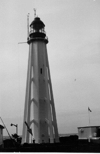 PhareAlberni-Clayoquot C, Colombie Britannique
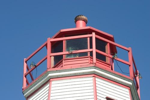 Port Burwell LighthouseMunicipality of Bayham, Ontario
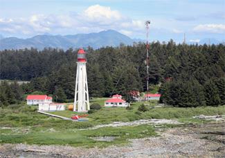 Phare d'Estevan PointAlberni-Clayoquot, Colombie Britannique
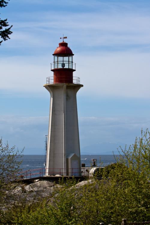 Lieu historique national du Canada du Phare-de-la-Pointe-AtkinsonWest Vancouver, Colombie Britannique
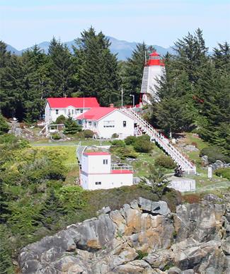 Phare de Cape BealeAlberni-Clayoquot, Colombie Britannique
- Phare de Pachena PointAlberni-Clayoquot, Colombie Britannique
Tiré du Répertoire canadien des lieux patrimoniaux, dans sa dernière mise à jour du 12 décembre 2025. Le texte du répertoire est reproduit mot pour mot.