Territorial Historic Site
Nataiinlaii (Eight Miles) Territorial Historic Site
Nataiinlaii, Territoires Du Nord Ouest
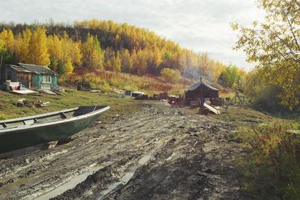
Photo: M. Fafard/GSCI 2002
- Construction
- 0001
- Reconnaissance
- 2010
- Par
- Gouvernement des Territoires du Nord-Ouest
Le texte du répertoire, mot pour mot
Description
The Gwich’in name Nataiinlaii, meaning ‘water flowing out from all directions’, refers to a cultural landscape on the Peel River located eight miles upstream from Fort McPherson. The setting includes the area around the ferry crossing where a small village known as Eight Miles has grown up, as well as Nataiinlaii creek upriver from the village. This cultural landscape dating back to pre-contact times comprises about thirty square kilometres. The area continues to be used. Residents are primarily elders who consider this place “home” and continue to carry on many traditional activities of life on the land.
Cabins are found on both sides of the Peel River at the ferry crossing, but the main concentration is on the east bank north of the Nataiinlaii Creek. Dirt roads provide access to the camps. Woodpiles are found everywhere, as the village has no electricity. Although current structures include cabins and fish houses built of logs or planks, the remains of tent sites and cabins are also present. The area upriver is not in use at this time, but old cabin foundations are there, the outline of a ninkahn (sod house) was located in 1996, and a log warehouse built in 1945 still stands. The site overlaps partially with Gwich’in Heritage Conservation Zone H10.
Valeur patrimoniale
In pre-contact times, Nataiinlaii was not within the traditional range of the Teetl'it Gwich'in. The area was part of a zone that both the Gwich’in and Siglit (Inuvialuit) avoided because of the potential for conflict between the two when they met. The establishment of the Hudson Bay post within this zone at Fort McPherson in 1840 precipitated a period of violent interaction between the two groups that are still remembered in Teetå'it Gwich'in oral tradition.
In the late 1800’s as the relationship with the Siglit improved, the first Teetl'it Gwich'in families began to spend much of the year on the lower Peel at Nataiinlaii. Other families spending late winter and spring in the mountains would stop here in their moose skin boats as they travelled downstream to McPherson after breakup. During the latter part of the 19th century an increasing number of people established camps at Eight Miles for fishing, hunting and trapping.
Today, the village is home to many Teetl'it Gwich'in elders who have cabins and fish houses there and continue to live their traditional lifestyle. This place is closely associated with the life of many of their ancestors. The village and cultural landscape of Nataiinlaii is a vibrant example of an enduring tradition representing an integral aspect of Aboriginal life in the Northwest Territories.
Éléments caractéristiques
Character-defining elements of Nataiinlaii include:
- It is the location of battles between the Gwich’in and the Siglit that are a significant feature of the Teetå'it Gwich'in oral tradition.
- A traditional summer fishing place prior to conflict with the Siglit.
- It continues to illustrate an important part and the continuity of the Teetl'it Gwich'in way of life. The architectural components may have changed over the years but the traditional activities at Nataiinlaii are essentially the same.
- Its continued use and occupation.
- The structural remains of cabins and sod house.
- The presence of an archaeological site on the north bank of Nataiinlaii Creek.
- The cultural landscape incorporated in the present and past land use.
- Provides a tangible link to Gwich’in oral tradition, place names and traditional practices that help define the site.
Fin du texte du répertoire
Emplacement
67.33306° N, 134.86333° W
Itinéraire (s’ouvre dans un nouvel onglet)L’inscription au répertoire ne rend pas un lieu accessible au public. Beaucoup sont des résidences ou des commerces privés; admirez-les depuis la rue.

Chargement de la carte…
À proximité
Lieux semblables
Les lieux dont la description du répertoire se rapproche le plus de celle-ci.
 Pokiak Terriorial Historic SitePokiak, Territoires Du Nord Ouest
 Nagwichoo tshik (Mouth of the Peel)Mouth of the Peel River, Territoires Du Nord Ouest
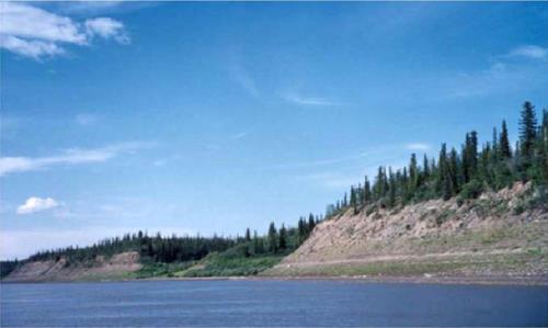 Teetshik Goghaa (Old Arctic Red) Territorial Historic SiteOld Arctic Red, Territoires Du Nord Ouest
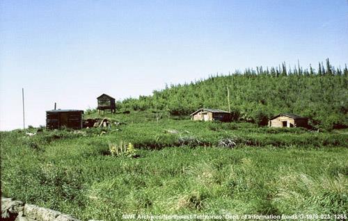 Khaii Luk TshikKhaii Luk Tshik, Territoires Du Nord Ouest
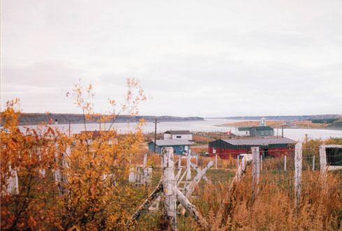 Lieu historique national du Canada de Nagwichoonjik (le fleuve Mackenzie)Tsiigehtchic, Territoires Du Nord Ouest
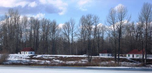 Fort McLeod Historic ParkMcLeod Lake, Colombie Britannique
Tiré du Répertoire canadien des lieux patrimoniaux, dans sa dernière mise à jour du 12 décembre 2025. Le texte du répertoire est reproduit mot pour mot.