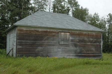
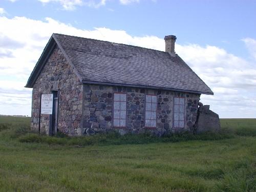
Photo: James Winkel, 2009.
- Construction
- 1924
- Reconnaissance
- 2005
- Par
- Administrations locales (Sask.)
Le texte du répertoire, mot pour mot
Description
The Loring School is a Municipal Heritage Property situated on approximately one hectare of land in the Rural Municipality of Barrier Valley No. 397. The designation applies to a one-room schoolhouse surrounded by landscaped grounds.
Valeur patrimoniale
The heritage value of Loring School resides in its association with the establishment of education in the Loring district, approximately 25 kilometres northwest of The Village of Archerwill. The Loring School was built in 1924 and served the local education needs of the district until it was closed in 1959 due to the amalgamation of rural school districts in the area. Loring School was one of 13 rural schools to close in the Archerwill area during that period. It remains today on its original location as a venue for reunions, picnics and social events during the summer months.
The heritage value of the property also lies in its architecture. It is a typical example of a one-room school built during the interwar period in rural Saskatchewan. Its rectangular shape, hip roof and large windows placed on the east side of the building are all typical elements of the country school style.
Source:
Rural Municipality of Barrier Valley Bylaw No. 2/05.
Éléments caractéristiques
The heritage value of Loring School resides in the following character-defining elements:
-those elements associated with the establishment of education in the Loring district, such as the building’s position on its original location;
-architectural elements typical of one-room schools built during this period, including the hip roof and large windows on the east side of the building;
-any interior furnishings associated with the building’s use as a school, including the chalkboards and wainscoting;
-the landscaped grounds, including the cleared area that is used for recreational activities during periodic social events.
Fin du texte du répertoire
Emplacement
52.53366° N, 104.09370° W
Itinéraire (s’ouvre dans un nouvel onglet)L’inscription au répertoire ne rend pas un lieu accessible au public. Beaucoup sont des résidences ou des commerces privés; admirez-les depuis la rue.

Chargement de la carte…
À proximité
Les 3 lieux de Barrier Valley RM 397
Lieux semblables
Les lieux dont la description du répertoire se rapproche le plus de celle-ci.
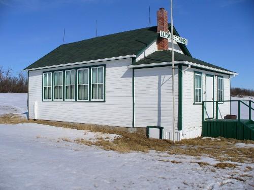
Tiré du Répertoire canadien des lieux patrimoniaux, dans sa dernière mise à jour du 12 décembre 2025. Le texte du répertoire est reproduit mot pour mot.