Ressource historique provinciale
Hoyt Tipi Ring Site
near Del Bonita, Alberta
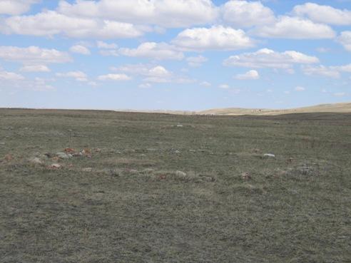
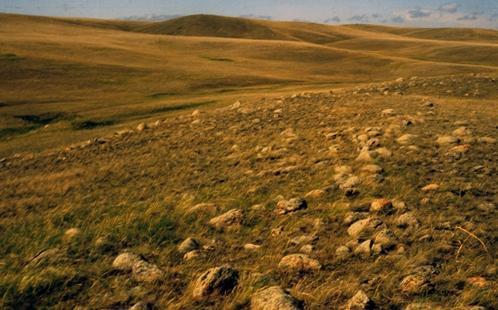
Photo: Alberta Culture and Community Spirit, Historic Resources Management Branch, 2005
- Reconnaissance
- 2007
- Par
- Province de l'Alberta
Le texte du répertoire, mot pour mot
Description
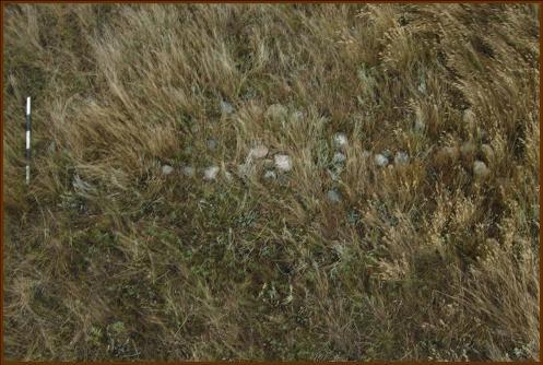
The Hoyt Tipi Ring Site (DgPf-4) sits on a 20 metre high terrace on the east side of the North Milk River valley approximately 12 kilometres northwest of Del Bonita (Cardston County). The terrace has spectacular views north and south down the river valley, and of strongly rolling prairie hills and terraces across the river. The site consists of 176 tipi rings, 25 stone arcs (partial, possibly partly buried, tipi rings) and 4 cairns (stone piles). Most of the rings are deeply buried in the sod, and contain thick rock walls consisting of 2 or 3 rows of stone. Scattered large tools on the site surface, and the thickness of the tipi ring walls, suggest a high density of artifacts may be buried in the tipi rings. Additional tipi rings may be completely buried and sediment deposition probably increases on the eastern side of the terrace due to colluvial processes.
Valeur patrimoniale
The heritage value of the Hoyt Tipi Ring Site lies in its excellent state of preservation, its representation of a large Plains Indian tipi ring campsite, its potential to yield scientific information, and the aesthetics of its location.
Tipi ring sites were once common in the Alberta grasslands, but agricultural activities have severely reduced the number of these sites. Most frequently, tipi rings are found on level prairie adjacent to the edges of major river valleys or scattered in hummocky moraine. The vast majority, about sixty to seventy percent, consist of small clusters of one to three tipi rings. The Hoyt Tipi Ring Site thus appears to represent the campsite of a larger social group than the small extended family camps occurring elsewhere. Although it is likely that more than one camping event contributed to the large number of tipi rings present, the similarity in rock density, stone burial, and doorway orientation among some tipi rings suggests that at least one band size (10-36 tipis) camping event occurred.
Since most tipi rings are located on the prairie uplands, deposition of sediment has been slow and organics, such as bone, have usually been destroyed by ultraviolet radiation from the sun. Comparison of prairie edge and terrace tipi ring sites at Forty Mile Coulee suggests that only nine percent of the artifact assemblage is bone in prairie level sites, while sixty-five percent is bone in terrace sites. Probably increased colluvial sediment is more rapidly burying terrace rings and thus increasing bone preservation. The deep burial of tipi ring rocks at the Hoyt Tipi Ring Site suggests that bone preservation will be enhanced. Further, research conducted on a large sample of tipi rings elsewhere, suggests that the overall size of the artifact assemblage increases in correlation with the thickness of the ring wall; presumably more rocks are added to anchor the hide covers when longer occupations occur. Thus the tipi rings at the Hoyt Tipi Ring Site are likely to contain a dense and diverse artifact assemblage.
Lastly, although sod-covered, the tipi rings at the Hoyt Tipi Ring Site are easily visible and are situated in a magnificent setting. There are few visible modern intrusions in the view plane. Rolling grass-covered hills, long vistas over the huge prairie landscape, the rugged valley with its sparkling river, and the vaulting arch of the prairie sky preserve a sense of place which evokes the Aboriginal history of the area.
SourceAlberta Culture and Community Spirit, Historic Resources Management Branch (File: Des. 2246)
Éléments caractéristiques
The character-defining elements of the Hoyt Tipi Ring Site include such features as:
- form and scale of the tipi rings, including one, two and three cobble ring wall thicknesses, doorway orientations, and sandstone slap or granite/gneiss boulder variants;
- total number of tipi rings at the site;
- location on a terrace of the North Milk River overlooking an undisturbed native prairie landscape and the river valley;
- relative lack of sensory intrusions from the modern world;
- potential for information about Plains Indian life.
Fin du texte du répertoire
Emplacement
49.05147° N, 112.94383° W
Itinéraire (s’ouvre dans un nouvel onglet)L’inscription au répertoire ne rend pas un lieu accessible au public. Beaucoup sont des résidences ou des commerces privés; admirez-les depuis la rue.

Chargement de la carte…
Lieux semblables
Les lieux dont la description du répertoire se rapproche le plus de celle-ci.
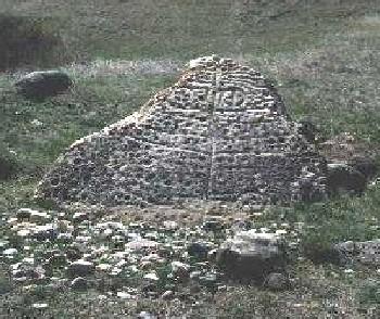 Herschel Petroglyph/Tipi Ring SiteMountain View RM 318, Saskatchewan
 Lieu historique national du Canada des Cercles-de-Tipi-de-SuffieldCypress County, Alberta
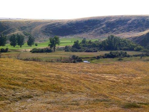 Saamis SiteMedicine Hat, Alberta
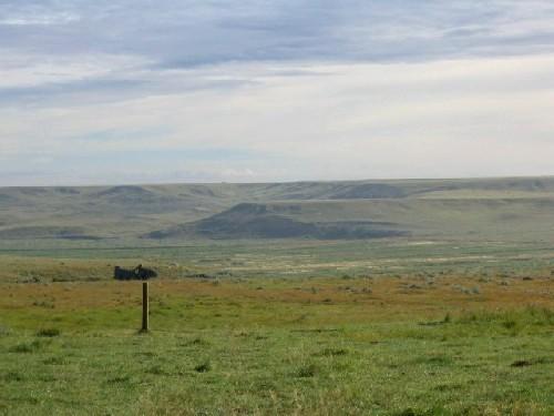 Tillet HillsAuvergne RM 76, Saskatchewan
 Laidlaw Antelope TrapNear Bow Valley, Alberta
 Ward Effigy Archaeological SiteNear Cluny, Alberta
Tiré du Répertoire canadien des lieux patrimoniaux, dans sa dernière mise à jour du 12 décembre 2025. Le texte du répertoire est reproduit mot pour mot.