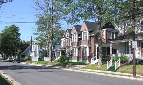
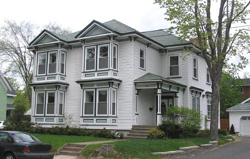
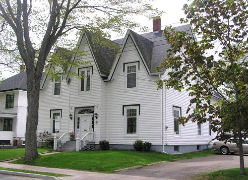
Photo: Heritage Division, NS Dept. of Tourism, Culture and Heritage, 2004
- Construction
- 1867–1947
- Reconnaissance
- 2000
- Par
- Administrations locales (N.-É.)
Le texte du répertoire, mot pour mot
Description
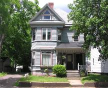
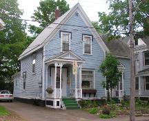
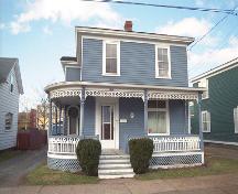
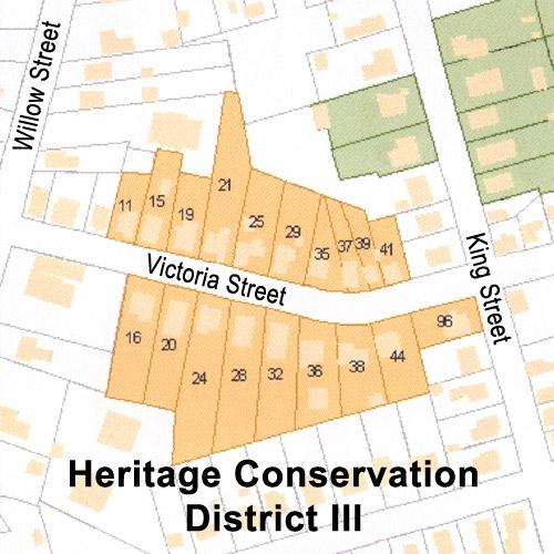
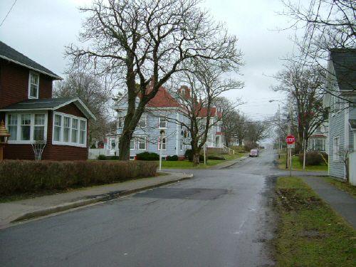
Heritage Conservation District II consists of 37 Late Victorian style residences built between 1867 and 1947, located on Dominion, Duke, King, and Victoria Streets in the urban core of Truro, Nova Scotia. Five of the buildings and their surrounding properties are individually designated heritage sites.
Valeur patrimoniale
The Heritage Conservation District II is valued as a representation of late nineteenth and early twentieth century Truro during its period of rapid growth as a railway and industrial centre. The District consists of residential buildings that were originally homes to merchants and professionals, many of whom were directly involved in the railway and/or local industry.
The District also valued as one of the best preserved nineteenth century residential neighbourhoods in Nova Scotia. Most of the homes were built between 1867 and 1920, and display a wide variety of Victorian architectural styles, while still maintaining a high degree of consistency in terms of scale, placement, materials and use. This consistency is evident in the later buildings in the District, as they were constructed to be in harmony with the older buildings.
SourcePlanning Department, Town of Truro, file 10MNS0049
Éléments caractéristiques
Character Defining Elements of Truro's Heritage District II include:
- historic street plan;
- late Victorian residential buildings of 1½ and 2 storeys each, constructed of similar materials, equivalent in scale and massing, placement relative to the street and to each other, and architectural detail;
- lot sizes generally wider than the average outside the District in the urban core;
- streets lined with trees of approximately equal age and size;
- distinctive street signs identifying the District;
- all buildings compliant with the town's Heritage Conservation District Plan and By-Law.
Fin du texte du répertoire
Emplacement
45.36332° N, 63.28115° W
Itinéraire (s’ouvre dans un nouvel onglet)L’inscription au répertoire ne rend pas un lieu accessible au public. Beaucoup sont des résidences ou des commerces privés; admirez-les depuis la rue.

Chargement de la carte…
À proximité
Les 57 lieux de Truro
Lieux semblables
Les lieux dont la description du répertoire se rapproche le plus de celle-ci.
Tiré du Répertoire canadien des lieux patrimoniaux, dans sa dernière mise à jour du 12 décembre 2025. Le texte du répertoire est reproduit mot pour mot.