Bien inscrit au répertoire municipal
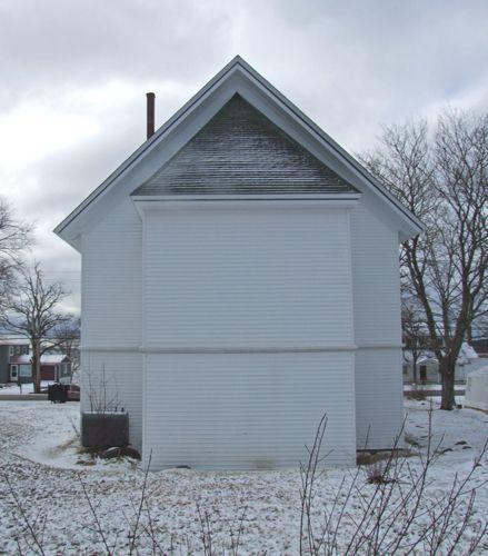
Greenhill Community Church
Upper Port La Tour, Nouvelle Ecosse
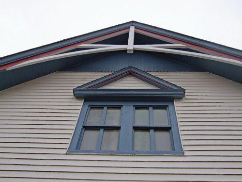
Photo: Dept. of Tourism, Culture and Heritage, Province of NS, 2008.
- Reconnaissance
- 2004
- Par
- Administrations locales (N.-É.)
Le texte du répertoire, mot pour mot
Description
The Greenhill Community Church is located close to the Port LaTour Road in Upper Port LaTour, Nova Scotia. The cross gable roof church is distinguished by its blue and burgundy trim. The municipal designation includes the land and the building.
Valeur patrimoniale
The Greenhill Community Church was built circa 1885. At that time the church was known as the Greenhill Methodist Church. In 1927 the congregation voted for church union and the Methodist congregation became members of the United Church of Canada.
Since its construction, the church has been an important part of the Greenhill community. It is valued for its history as a place of worship and in more recent years, as a community hall, and for its remaining Gothic Revival elements. In 2003 the church was deconsecrated due to a lack of members to sustain it and a group of local residents formed the Shelburne County Society for the Preservation of the Greenhill Community Church and continue to maintain the church. While the steeple has been removed, the building still retains many of its Gothic Revival elements that serve as a reminder of its original appearance.
SourceMunicipality of the District of Barrington, heritage designation files, Greenhill Community Church file
Éléments caractéristiques
Character-defining elements of the Greenhill Community Church relate to its original function as a church and include:
- cross-gable roof;
- overhanging eaves;
- all Gothic Revival elements including decorative vergeboards in gable ends, pedimented hood over second storey windows, small hipped overhang supported by decorative brackets over main entry;
- double door main entry;
- location close to road;
- four-over-four wood framed windows on main level;
- stone foundation.
Fin du texte du répertoire
Emplacement
43.51420° N, 65.46371° W
Itinéraire (s’ouvre dans un nouvel onglet)L’inscription au répertoire ne rend pas un lieu accessible au public. Beaucoup sont des résidences ou des commerces privés; admirez-les depuis la rue.

Chargement de la carte…
À proximité
Lieux semblables
Les lieux dont la description du répertoire se rapproche le plus de celle-ci.
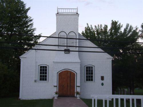 William Black Memorial United ChurchGlen Margaret, Nouvelle Ecosse
 Brenton Methodist ChurchBrenton, Nouvelle Ecosse
 Evergreen United Baptist ChurchWest Paradise, Nouvelle Ecosse
 Greenville United Baptist ChurchGreenville, Nouvelle Ecosse
 Big Intervale United ChurchMargaree Valley, Nouvelle Ecosse
 Wesley United ChurchBarrington Head, Nouvelle Ecosse
Tiré du Répertoire canadien des lieux patrimoniaux, dans sa dernière mise à jour du 12 décembre 2025. Le texte du répertoire est reproduit mot pour mot.