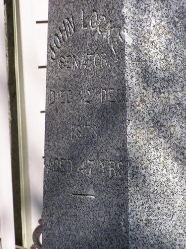
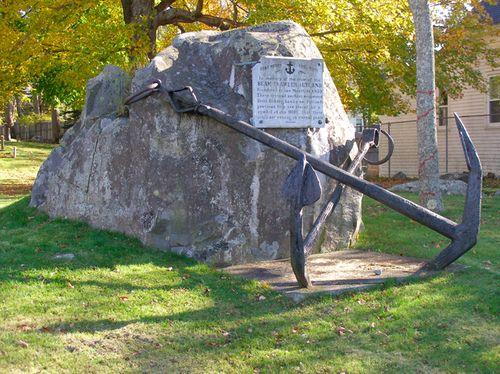
Photo: NS Dept or Tourism, Culture & Heritage, 2009
- Construction
- 1848
- Reconnaissance
- 1992
- Par
- Administrations locales (N.-É.)
Le texte du répertoire, mot pour mot
Description
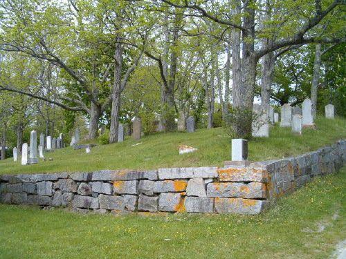
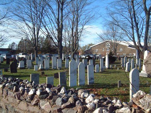
The Church Street Cemetery, located on Church Street in the Town of Lockeport, Nova Scotia, is the final resting place of many of the town’s early residents. Municipal heritage designation applies to the cemetery lot and its landscape features.
Valeur patrimoniale
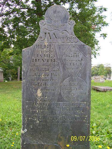
The Church Street Cemetery, at one time called the Rood’s Head Cemetery, was established in 1848 on land deeded for the purpose to the trustees by Lewis P. Churchill, a prominent merchant in the community. The land as deeded measured one hundred fifty feet by one hundred feet and was surrounded on all sides by other lands of Mr. Churchill. Its heritage value lies in its being the burial ground where many of the town's early inhabitants were laid to rest.
More than fifty of the descendants of the original settlers of Lockeport are buried here, including Lewis P. Churchill, his wife and several of their children. Lewis Churchill was a direct descendant of Josiah Churchill, one of the first two people to arrive and settle at Lockeport, then called Ragged Island, around 1761.
Others interred in this cemetery include Senator John Locke and at least thirty-one other members of the extended Locke family who were descendants of Dr. Jonathan Locke, an original settler. Also buried here are at least two children from two of the nine Icelandic families who came to Lockeport in 1875, but had all moved west by 1882, except for one couple that remained.
This cemetery ceased being used around 1885, presumably because it was filled to capacity. It was designated as a registered heritage property in December, 1992.
SourceMunicipal heritage property files, “Church Street Cemetery”, Town of Lockeport, NS.
Éléments caractéristiques
The character-defining elements of the Church Street Cemetery include:
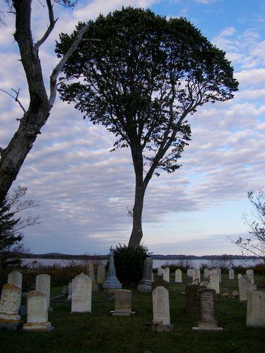
- location on a hill that overlooks the harbour;
- original monuments;
- mature tree in centre of cemetery;
- grass-covered lot;
- line of mature evergreen trees along the street side.
Fin du texte du répertoire
Emplacement
43.69609° N, 65.11036° W
Itinéraire (s’ouvre dans un nouvel onglet)L’inscription au répertoire ne rend pas un lieu accessible au public. Beaucoup sont des résidences ou des commerces privés; admirez-les depuis la rue.

Chargement de la carte…
À proximité
Les 13 lieux de Lockeport
Lieux semblables
Les lieux dont la description du répertoire se rapproche le plus de celle-ci.
Tiré du Répertoire canadien des lieux patrimoniaux, dans sa dernière mise à jour du 12 décembre 2025. Le texte du répertoire est reproduit mot pour mot.