Terre, structure ou édifice patrimonial de la ville de St. John's
Church of England Institute CEI Club
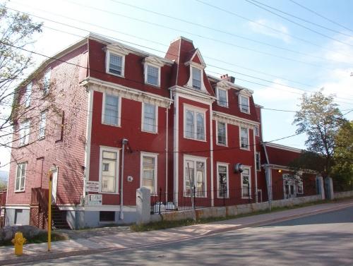
Photo: HFNL 2005
- Construction
- 1900–1901
- Reconnaissance
- 1989
- Par
- Ville de St. John's
Le texte du répertoire, mot pour mot
Description
The Church of England Institute CEI Club is a four storey Second Empire style building located at the corner of Hamilton Avenue and Sudbury Street, St. John's, NL. The designation is confined to the footprint of the building.
Valeur patrimoniale
This building as been designated for its aesthetic and historic values.
Aesthetic Values: The CEI Club is a fine example of a Second Empire designed public building with its concave mansard roof, pedimented dormer windows, and decorative eaves bracketing.
Historical Values: This building was once the home to the Methodist Orphanage. Orphaned Methodist girls from all areas of Newfoundland were sent here for care. Some funding for operations was provided by the government, but most of the funds came from Methodist churches throughout the island. After the orphanage closed, the Church of England Institute (CEI) took over the building. This was a social club for members of the Church of England and sponsored community sports teams. In the 1950s it dropped its association with the church and opened its membership to people of other denominations.
SourceCity of St. John's Archives municipal designation file.
Éléments caractéristiques
All elements of the Newfoundland interpretation of the Second Empire style, including:
-the concave mansard roof, pedimented dormer windows, and decorative eaves bracketing:
-shape, size, decoration and placement of windows;
-Narrow wood clapboard which covers the building;
-the slightly projected tower with its hip roof located in the front facade with its pedimented dorimer window with trim which flares out at its bottom, dentils and decorative wood shingles; and -building height, number of storeys, dimensions, and massing.
Fin du texte du répertoire
Emplacement
47.55258° N, 52.72152° W
Itinéraire (s’ouvre dans un nouvel onglet)L’inscription au répertoire ne rend pas un lieu accessible au public. Beaucoup sont des résidences ou des commerces privés; admirez-les depuis la rue.

Chargement de la carte…
À proximité
Les 222 lieux de St. John's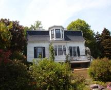 Angel House Registered Heritage Structure150 m · St. John's · 1878
 AjoutAngel House Municipal Heritage Site150 m · St. John's · 1878
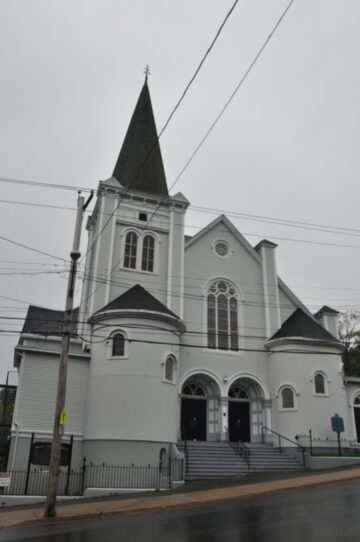 AjoutWesley United Church250 m · St. John's · 1906
 Lieu historique national du Canada de l’Église-Catholique-St. Patrick’s350 m · St. John's · 1864
 Lakecrest Independent School350 m · St. John's · 1953
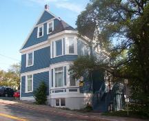 Horwood House350 m · St. John's · 1901
Lieux semblables
Les lieux dont la description du répertoire se rapproche le plus de celle-ci.
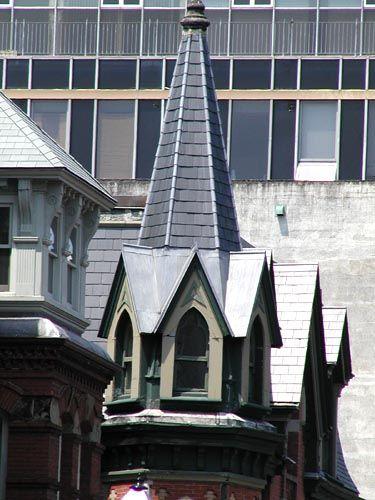 Former Church of England InstituteHalifax, Nouvelle Ecosse
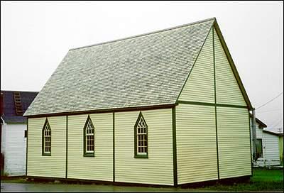 Bailey's Cove Church of England School
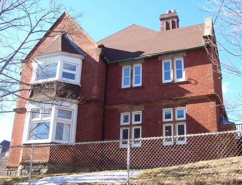 The Deanery (Anglican Cathedral Parish Rectory)
- St. Michael's Orphanage/ Belvedere Municipal Heritage Building
 AjoutSt. John the Evangelist Anglican Church Municipal Heritage Site
 Cochrane Street United Church Municipal Heritage Building
Tiré du Répertoire canadien des lieux patrimoniaux, dans sa dernière mise à jour du 12 décembre 2025. Le texte du répertoire est reproduit mot pour mot.