Photo: Kendra Green, 2007.
- Construction
- 1813–1819
- Reconnaissance
- 1994
- Par
- Administrations locales (Ont.)
Le texte du répertoire, mot pour mot
Description
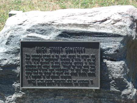
The Brick Street Cemetery, located at 370 Commissioner's Road West, is situated on the south side of Commissioner's Road West, between Topping Lane and Beechwood Avenue, in the City of London. The cemetery was established between 1813 and 1819.
The property was designated, by the City of London, in 1994, for its historical value or interest, under Part IV of the Ontario Heritage Act (By-law L.S.P. – 3236-478).
Valeur patrimoniale
Many of the settlers and their descendents, of Westminster Township, are interred at the Brick Street Cemetery. The first settlers arrived in 1810 and burials began sometime between 1813 and 1819. While burials continue, the cemetery is near capacity. The first gravestone was dated 1819.
Some of the local families interred at the Brick Street Cemetery include: Dale, Griffith, Topping, Jarvis, Flint, Blinn, and Norton, pioneers after whom streets in the area are named. Three of the more notable people interred here are Phoebe McNames, Nathan Griffith Sr. and Nathan Griffith Jr. Phoebe McNames (d. 1824) was a heroine of the War of 1812. McNames came to the aid of Canadian soldiers during a battle at Reservoir Hill, providing them with water and ammunition. Nathan Griffith Sr. (1756-1852) was a soldier in the American Revolution. His son, Nathan Griffith Jr. (1790-1862), arrived in Westminster Township in 1812 and fought in the battle of Lundy's Lane, in 1814, with the British forces. It is recorded that Nathan Jr. founded the first brickyard in Middlesex County, in 1816, making it one of the first manufacturing industries in the London area.
SourceCity of London By-law L.S.P.-3236-478.
Éléments caractéristiques
Character defining elements that contribute to the heritage value of the Brick Street Cemetery include its:
- original markers, with their surviving inscriptions
- cemetery plaque which commemorates the early settlers and pioneers who are interred at the cemetery
- the layout and location of the cemetery
Fin du texte du répertoire
Emplacement
42.95537° N, 81.28054° W
Itinéraire (s’ouvre dans un nouvel onglet)L’inscription au répertoire ne rend pas un lieu accessible au public. Beaucoup sont des résidences ou des commerces privés; admirez-les depuis la rue.

Chargement de la carte…
À proximité
Les 46 lieux de City of London


Lieux semblables
Les lieux dont la description du répertoire se rapproche le plus de celle-ci.
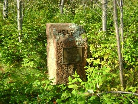 Heartz Field CemeteryMilton Station, Ile Du Prince Edouard
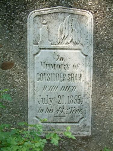 Upper Farm CemeteryHaldimand County, Ontario
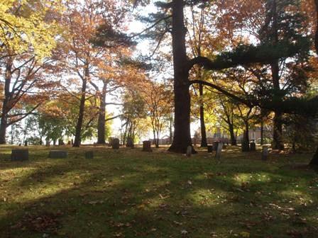 Bronte CemeteryTown of Oakville, Ontario
 Red Bank Pioneer CemeteryNorth Lake, Ile Du Prince Edouard
 Dockendorff Pioneer CemeteryYork Point, Ile Du Prince Edouard
 Belle River Pioneer CemeteryBelle River, Ile Du Prince Edouard
Tiré du Répertoire canadien des lieux patrimoniaux, dans sa dernière mise à jour du 12 décembre 2025. Le texte du répertoire est reproduit mot pour mot.